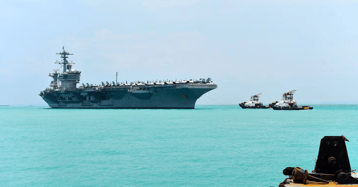
The deployment of the USS Theodore Roosevelt through the Malacca Strait is a reminder that the ocean is not an empty space but a heavily trafficked, strategically monitored corridor, and that maritime data is a form of intelligence we are only beginning to harness properly. The carrier's port call in Singapore, a routine logistics stop, becomes significant when viewed alongside the parallel work of understanding the seas themselves. While the Roosevelt's path from the South China Sea to the Indian Ocean is a military movement, it crosses waters where Shipping emissions cost global economy $963 billion in three decades and where collaborative science is charting a way forward for the blue economy. The practical question for our readers is not about carrier rotations but about what integrated data ecosystems could reveal about the traffic, emissions, and environmental pressures along these same sea lines.
The Roosevelt's journey is a concrete example of why we need better ocean intelligence. The Malacca Strait is one of the world's most congested shipping chokepoints, yet our empirical understanding of its cumulative environmental impact remains fragmented. The port visit itself, a chance to resupply and rest a crew before a long deployment, highlights the logistical demands of sustained naval presence, but it also underscores the absence of real-time, peer-reviewed data on how such transits affect marine ecosystems. This is where our editorial stance becomes clear: the same vessels that ensure maritime security could, with calibrated sensors and integrated data sharing, contribute to a validated picture of ocean health. The Continental Shelf Science Charts a Collaborative Course for the Blue Economy article shows that cooperation on scientific data is already yielding measurable benefits beyond national boundaries. The Roosevelt's passage should not be a blank spot on that map.
We are not arguing that naval operations should be redesigned for scientific purposes, but that the data these movements generate, fuel consumption, noise levels, meteorological readings, even ship traffic patterns, should be treated as climate indicators. When a carrier group exercises with Japanese forces in the Philippine Sea and then transits to the Middle East, it creates a longitudinal dataset of activity in some of the most strategically and ecologically sensitive waters on the planet. Currently, that data is not systematically collected or shared. The USS George Washington, which the Roosevelt is relieving, has been operating in the Middle East since August, and reports suggest two other carrier groups are already there. That is a lot of empirical evidence about ocean conditions, shipping emissions, and acoustic environments that remains locked in operational logs rather than feeding into an integrated data ecosystem.
The specific takeaway is this: the Roosevelt's transit through the Malacca Strait should be a catalyst for asking how military and commercial vessels can contribute to a shared, validated record of ocean conditions. The cost of shipping emissions, $963 billion in three decades, is a number that should compel action, not just in policy but in data collection. As the carrier moves toward a mid-November arrival in the Middle East, the open question is whether the ocean intelligence gathered along the way will ever be integrated into the peer-reviewed frameworks that could inform better stewardship. That is the detail to watch: not the carrier's final destination, but the data trail it leaves behind.