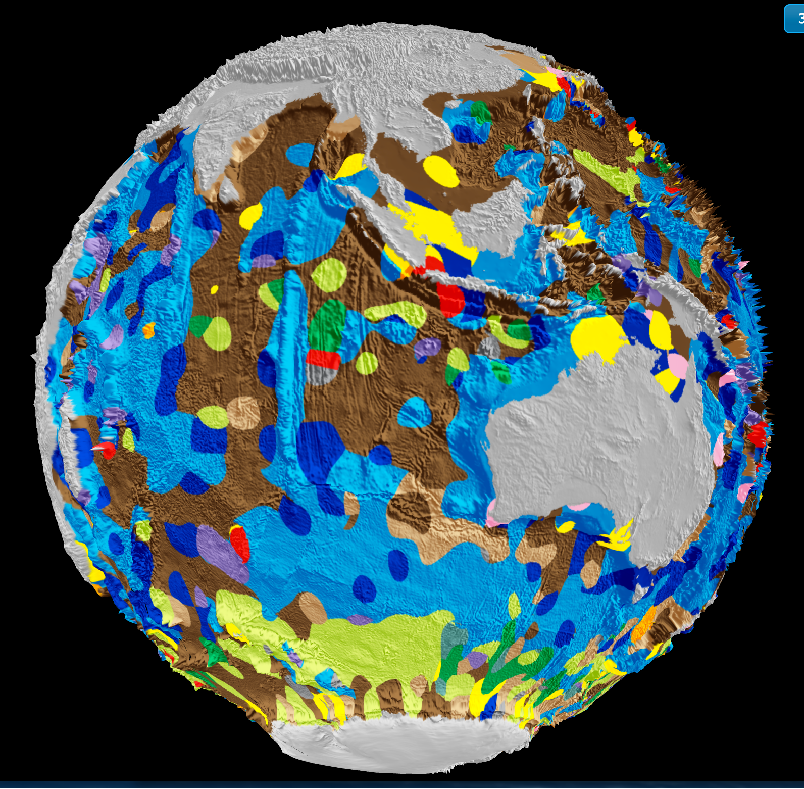
Understanding the ocean floor with the precision that big data now affords is not merely a technical achievement; it is a foundational step toward measurable climate action. The University of Sydney's latest work in using vast datasets to map the seafloor from orbit to ocean floor gives us a calibrated, integrated view of a realm that has long been the least understood part of our planet. This is ocean intelligence at its most practical, transforming remote sensing and sonar readings into a shared, empirical resource that researchers and policymakers can actually use.
What makes this development urgent is how it connects to other pieces of the ocean-climate puzzle. We have seen, for example, how A Century of Ocean Intelligence Reveals a Measurable Current Slowdown in the Atlantic, a finding that depends entirely on longitudinal data collected over decades. Without a precise seafloor map, models of current behavior and heat distribution remain incomplete. Similarly, the ECCO‑Darwin model delivers first multi‑decadal global ocean CO₂ flux estimates, but those estimates gain real power only when the bathymetry beneath the water column is accurately known. A seafloor map sharpens every other oceanographic measurement. It is the substrate, literally, on which climate indicators are calculated.
Our opinion is plain: this mapping effort should be treated as a global public good, not a proprietary asset. The University of Sydney's approach, which aggregates data from satellites, ships, and autonomous vehicles into a single validated product, sets a standard for openness. That matters because the ocean does not recognize national borders. When China deploys an AI data center on the ocean floor, it raises questions about who controls the data generated from that infrastructure. The more we treat seafloor mapping as a collaborative, peer-reviewed exercise, the more we insulate ocean science from geopolitical fragmentation. The takeaway here is direct: precision mapping enables every other ocean observation to be more accurate, and that accuracy is the prerequisite for credible climate policy.
One specific consequence to watch is how this data will refine the boundary conditions for carbon flux models. The ECCO-Darwin work already shows that seasonal and multidecadal estimates of ocean CO₂ absorption vary significantly with improved bathymetry. As the Sydney team's map becomes more complete, we should expect revisions to our understanding of how much carbon the ocean can actually store, and where. That is not an abstract question. It directly affects the emissions budgets that nations negotiate. The ocean floor is no longer a blank space on a chart; it is becoming a measured, accountable part of the climate system.