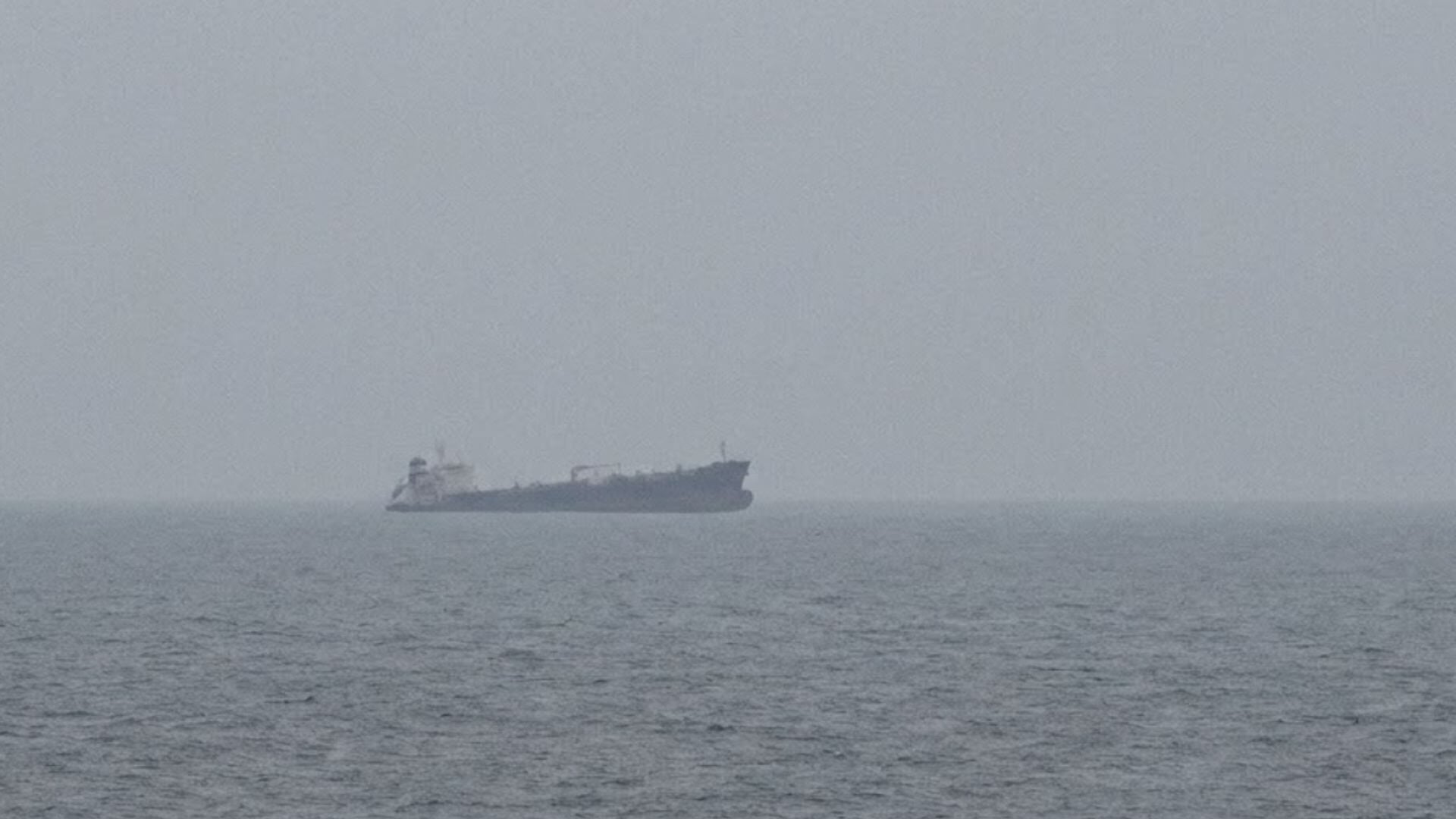
The loss of two million barrels of crude oil in the Strait of Hormuz is not just a geopolitical incident; it is a measurable failure of environmental intelligence. When a supertanker sinks after striking a naval mine, the immediate toll is counted in barrels and headlines. The real cost, however, will be calculated in the coming weeks as the oil disperses, degrades, and interacts with a marine ecosystem already under documented stress. We cannot afford to treat this as a one-off crisis when the patterns are becoming longitudinal.
Iran's IRGC has alleged that the tanker was sailing on an "unauthorised route" with its tracking systems disabled, and that U.S. forces were supporting the vessel. The UK Maritime Trade Operations centre has confirmed a separate attack on a tanker in the Gulf, with the crew reported safe. What remains absent from every official statement is any empirical data on the spill's extent, the current's trajectory, or the water column's chemical composition. This is where our readership, researchers, policymakers, and marine operators, must demand more than state media narratives. We need calibrated, peer-reviewed ocean intelligence, not claims from either side of the strait.
This incident echoes the challenges faced by seafarers navigating contested waters, as detailed in our coverage of Navigating home an Indian seafarer's return via emergency certificate. The human cost of these transits is not abstract; it involves real crews issued emergency documents to return from regions where tracking equipment is switched off and routes are dictated by military force. Meanwhile, the U.S. military has stated that the main shipping lanes are free of mines, yet the Iranian report counts five tankers hit over 48 hours, three in the central and eastern parts of the strait. The contradiction is stark, and the environmental data gap is dangerous.
The practical consequence for our community is clear: we lack an integrated data ecosystem for this waterway. One-fifth of global oil transits the Strait of Hormuz, and we are relying on unverified statements from the IRGC and partial reports from UKMTO. The US Central Command claims that 1.5 billion barrels have moved through with its assistance since the summer, but that figure says nothing about what happens when a tanker sinks. We need real-time, satellite-validated monitoring of oil sheen extent, sea surface temperature anomalies, and sediment toxicity. Without that, the two million barrels become a speculative number rather than a measurable input into climate and ocean health models.
The detail to watch is not the political blame game. It is the absence of any independent environmental assessment from the Gulf states or international maritime bodies. If the tanker's cargo has already dispersed beneath the surface, we may not see the impact for months, until it appears in the tissue of fish or the acidity of coastal waters. That is the open question our readers should hold in view: will we measure the damage, or will we let it sink, uncalibrated, into the same waters that carry our oil and our future?