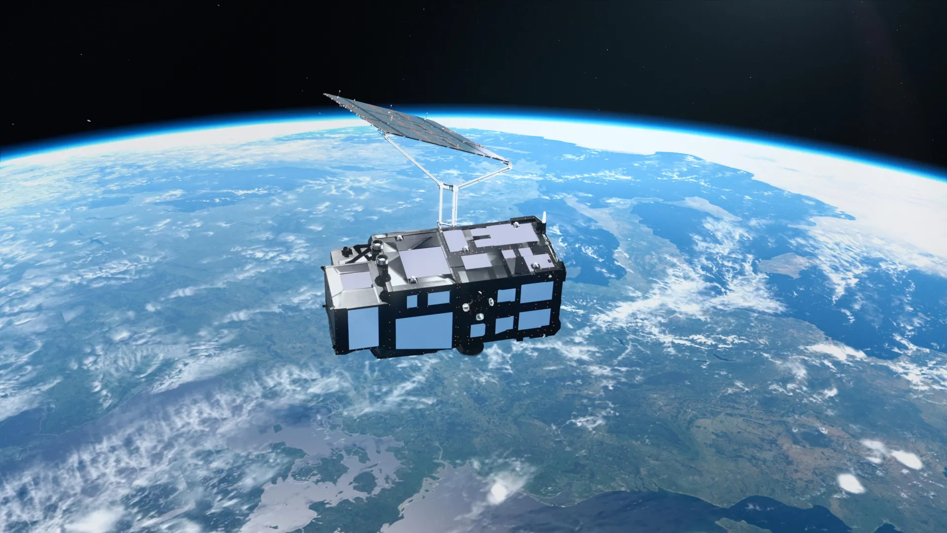
Two weeks after launch, Sentinel-3C is already showing us what calibrated ocean intelligence looks like in practice, and the implications are more immediate than most observers expect. The first images, from the snowy Alps to the turquoise Caribbean, are not just visually striking; they are proof that the satellite's instruments are delivering validated, measurable data within days of reaching orbit. This is the difference between a hopeful launch and a working asset, and it matters because the pace of climate-driven change demands real-time, empirical baselines, not waiting months for systems to settle. We have long argued that measured sea level rise validated across decades of ocean data is the foundation for credible policy, and Sentinel-3C is the next chapter in that record, extending a longitudinal view with the precision needed to separate natural variability from forced trends.
The practical takeaway for researchers and coastal planners is that we now have another integrated data ecosystem node feeding the same global picture, one that can cross-check existing satellite altimetry and tide-gauge networks. Sentinel-3C's early returns on rising seas and melting ice sheets will allow teams to calibrate regional models against fresh observations, which is exactly the kind of coordinated response we saw during validating coordinated ocean response through Europe's COASTEX 2026 trial. That trial tested multi-agency maritime operations; this satellite tests our ability to see the ocean's state in near-real time. Both efforts share a common logic: seamless integration of data and action. The difference is that Sentinel-3C's coverage is global, meaning its calibrated measurements will feed climate indicators for everything from upwelling zones to polar ice dynamics, linking directly to patterns like those examined in projected climate shifts intensify upwelling along southeast China coast.
What we find most encouraging is that the satellite's first views are described as calibrated, not just captured. That distinction is crucial. Uncalibrated imagery is noise; calibrated data is evidence. For policymakers, this means the next round of climate assessments can rely on a fresh, independent source that has already demonstrated its ability to track the same signals we have been monitoring for decades. For ocean scientists, it shortens the gap between a satellite's deployment and its utility in peer-reviewed validation studies. We should not treat these first images as a one-off success. The open question is how quickly the full operational data stream becomes available to the research community, and whether the European Space Agency's distribution channels keep pace with the instrument's readiness. That is the detail to watch: a satellite that delivers early is only as valuable as the pipeline that gets its measurements into the hands of those who can act on them. Sentinel-3C has cleared the first hurdle. The next one is ours to manage.