satellite imagery
11 stories filed under satellite imagery on World Data Ocean. The newest of them: “Two weeks after launch, Sentinel-3C delivers calibrated first views of a changing ocean”, “Validating coordinated ocean response through Europe's COASTEX 2026 trial”, and “Eleven data-driven innovations sharpen our ocean intelligence”. Two weeks after launch, Sentinel-3C has already delivered calibrated first views of a changing ocean, from the frozen Arctic to the Caribbean. Off Sicily this week, European partners are putting multi-agency maritime response to the test during COASTEX 2026, a trial led by EMSA that validates coordinated ocean response at scale. A Global Hub for Ocean Intelligence 4 World Data Ocean is a centralized digital platform where researchers, scientists, and ocean enthusiasts converge to… The list below is every satellite imagery story on World Data Ocean, newest first.
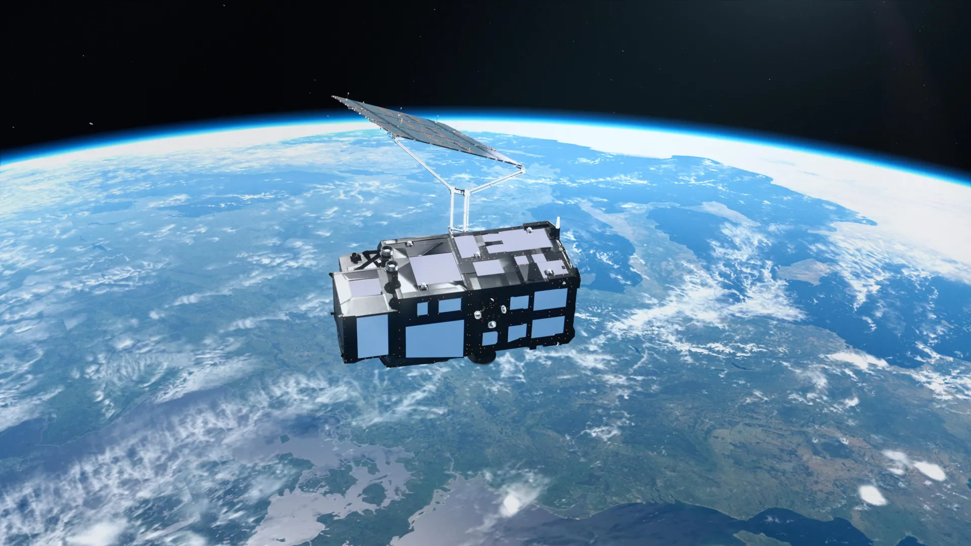
Two weeks after launch, Sentinel-3C delivers calibrated first views of a changing ocean
Two weeks after launch, Sentinel-3C has already delivered calibrated first views of a changing ocean, from the frozen Arctic to the Caribbean. These early measurements validate the satellite's capacity to track rising seas and melting ice with empirical precision. Understanding drives protection, and this instrument is now part of an integrated data ecosystem. For context on how such observations support coordinated maritime action, see our coverage of Europe's COASTEX 2026 trial.
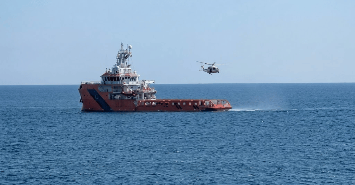
Validating coordinated ocean response through Europe's COASTEX 2026 trial
Off Sicily this week, European partners are putting multi-agency maritime response to the test during COASTEX 2026, a trial led by EMSA that validates coordinated ocean response at scale. The exercise measures what happens when surveillance, coast guards, and navies share real-time data under pressure. Precision matters most when lives are at sea. Our recent coverage of Bulgaria's search for missing crew after a drone strike reinforces why these calibrated, collaborative drills are essential, not theoretical.
Eleven data-driven innovations sharpen our ocean intelligence
Eleven measurable innovations are sharpening our ocean intelligence. From validated carbon tracking systems to data-driven models revealing how the atmosphere forces ocean dynamics, each tool adds a calibrated layer to our understanding. These are not abstract concepts, they are empirical, peer-reviewed advances that make ocean stewardship actionable. The Ocean Carbon and Acidification Data System in *Nature* exemplifies this: validated data powering a measurable path forward. Understanding drives protection. From orbit to ocean floor, the evidence is building.
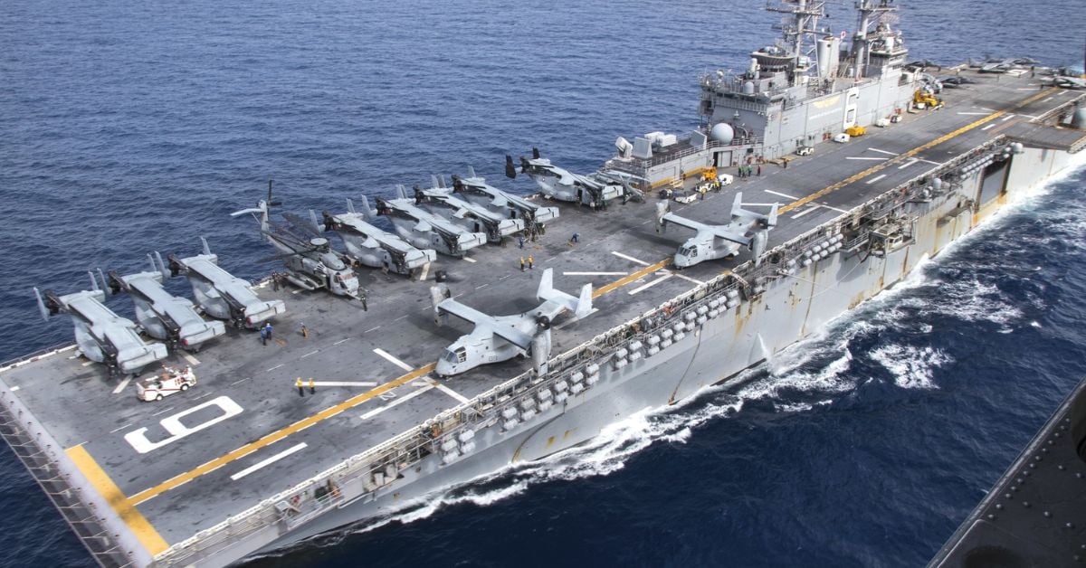
China’s New Nuclear Carrier Signals Extended Naval Operations Capability
China's newest aircraft carrier, reportedly nuclear-powered, is built to outlast and outgun U.S. carriers in deployment length and ammunition capacity. That is a deliberate statement of extended naval reach, not a boast. The strategic logic is clear: endurance wins contests. For readers tracking how maritime power shifts ripple through global trade, our related piece on Gulf of Oman STS transfers maxing out shows the same pressure points in action. Understanding these moves is how we measure what comes next.

Vistula Lagoon Ice Shove Morphology and Impact Characterized in New Study
In January 2024, an ice shove on the southern coast of the Vistula Lagoon demonstrated how vulnerable low-lying shores can be to winter extremes. Field surveys taken during the event and again in spring revealed ice pile-ups reaching 4-7 meters high, with inland penetration averaging up to 55 meters. The study shows that shoreline elevation and water levels dictated the damage, which included erosion and infrastructure harm. It is a practical reminder that coastal resilience requires understanding these dynamic, measurable forces.
Satellite Imagery Reveals South Georgia's Elephant Seal Population Assessment
Satellite imagery has delivered the first comprehensive count of South Georgia's elephant seals in nearly three decades, and the numbers carry weight. We estimate 107,630 breeding females, down from 113,444 in 1995, but the authors rightly caution against reading this as stability. The census followed highly pathogenic avian influenza through the region, so this is a perturbed population, not a baseline. It is a reminder that remote, challenging sites need innovative tools.
Tracking Wetland Change: A Satellite Framework for Coastal Resilience
The Coastal Bend of Texas has lost 193 square kilometers of wetlands since 1984, a 17% decline that accelerated sharply between 2008 and 2016. That is not a distant problem; it is a measurable transformation happening now. The study's tools, WET-MUD and WHAMS, turn satellite records into actionable intelligence, distinguishing wetland extent from wetland health with 93% overall accuracy. This framework matters because it makes long-term monitoring reproducible elsewhere, turning raw data into a practical defense for vulnerable coastlines. Understanding drives protection.
Digital Twin Reveals Vulnerable Atoll, Enabling Ocean Monitoring
Remote coral atolls like Oeno remain critically under-observed, not because they lack importance, but because isolation makes traditional surveys nearly impossible. This digital twin changes that. By integrating satellite imagery, drone data, and acoustic bathymetry into a single calibrated framework, the team has produced the first high-resolution representation of the atoll's lagoon, benthic habitats, and terrestrial structure. It is a practical, scalable model for monitoring shoreline evolution and coral bleaching, and a clear demonstration that integrated geospatial data can close observation gaps elsewhere.
Small Estuaries, Big Impact: Exploring a Hidden Coastal Ecosystem.
Small estuaries are easy to overlook. A new study identifies 243 micro-estuaries across the Mediterranean, and roughly half remain undocumented and unmanaged. These systems, though small at one to seven kilometers long, exhibit stratification strong enough to control oxygenation and denitrification. Sandbars and freshwater inflow dictate their function, with residence times ranging from days to months. This research validates that size does not determine ecological significance.

Cargo Ship Detention Highlights Ongoing Challenges to U.N. Sanctions.
The detention of a Tanzanian-flagged cargo ship by South Korea underscores the persistent friction in enforcing U.N. sanctions on North Korea. This vessel reportedly dodged restrictions more than once, a clear signal that maritime evasion remains a live challenge. Enforcement is only as strong as the weakest link in the chain. For broader context on how allied navies and ports factor into this effort, our piece on the *Kiwi Frigate Monitors Sanctions* offers a useful parallel.

Persian Gulf: Iran Targets U.S. AI-Driven Maritime Surveillance.
The Persian Gulf has become a testing ground for AI-driven maritime surveillance, with Iran targeting U.S. unmanned vessels and sensor networks in the region. The unit's reliance on autonomous systems and real-time data marks a calibrated shift in how naval operations are monitored. It is a precise, measurable response to a complex environment, though one that raises the stakes for transparency. For broader context on regional shipping pressures, our coverage of phased negotiations on the Strait of Hormuz offers a useful parallel.