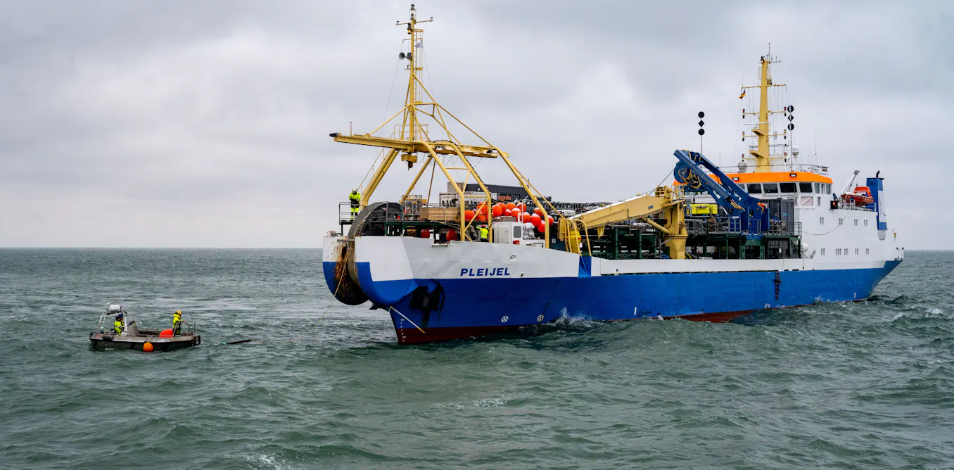
The global internet is an engineering marvel built on the seafloor, and we are not paying nearly enough attention to its vulnerability. While most users take instantaneous transcontinental communication for granted, the physical network that enables it, over 485 undersea cables spanning more than 900,000 miles, remains largely invisible and dangerously exposed. This is not a theoretical risk; it is a structural weakness in the infrastructure that underpins modern civilization.
Understanding the architecture of this network is the first step toward protecting it. As we have argued in our coverage of Measuring ocean health begins with an integrated data ecosystem, the ocean is not a void but a data-rich environment that demands systematic observation. The same principle applies to the seafloor itself. The process of laying a cable requires thorough seabed surveys to chart routes that avoid natural hazards and minimize environmental impact. But these surveys are conducted by private consortia of internet and telecom companies, and the resulting maps are not always shared publicly or integrated into broader ocean intelligence frameworks. This represents a missed opportunity. A more open, collaborative mapping effort, one that feeds into an integrated data ecosystem, could serve dual purposes: protecting critical communications infrastructure while advancing our empirical understanding of the seafloor. The cables themselves, after all, are already there. We should be learning from their placement, their maintenance, and their failures.
The threats are real and growing. Each year, an estimated 100 to 150 cables are cut, mostly by fishing equipment and anchors. But the 2024 failures off West Africa, which disrupted internet access for at least ten nations, and the suspected sabotage events in the Baltic Sea in 2023 point to a more alarming vector: geopolitical conflict. The Red Sea corridor, a strategic chokepoint for data traffic between Asia and Europe, has become a flashpoint. Damage from the anchor of the attacked cargo ship *Rubymar* severed cables and disrupted a significant portion of internet traffic along that route. This is not an accident; it is the predictable consequence of placing the world's most critical data arteries on the ocean floor in publicly known locations, without a robust framework for their protection. The response, rerouting traffic via satellite, is a workaround, not a solution. Satellites can help, but they lack the capacity of fiber-optic cables, which transmit multiple terabits per second. A blended approach is prudent, but it is not a replacement for securing the cables themselves.
The practical takeaway is clear: we need cable protection zones, amended international laws, and treaties that treat cable sabotage as a serious violation of shared global infrastructure. This is not a niche technical issue; it is a matter of economic stability and information security. The same data-driven rigor we apply to tracking 27 meters of ice loss measured across 50 years in reference glaciers should be applied to monitoring the physical state and security of the cables that carry the world's information. The next time a cable is cut, the question to watch is not how quickly traffic can be rerouted, but whether the international community has the legal and operational mechanisms in place to prevent it from happening again.