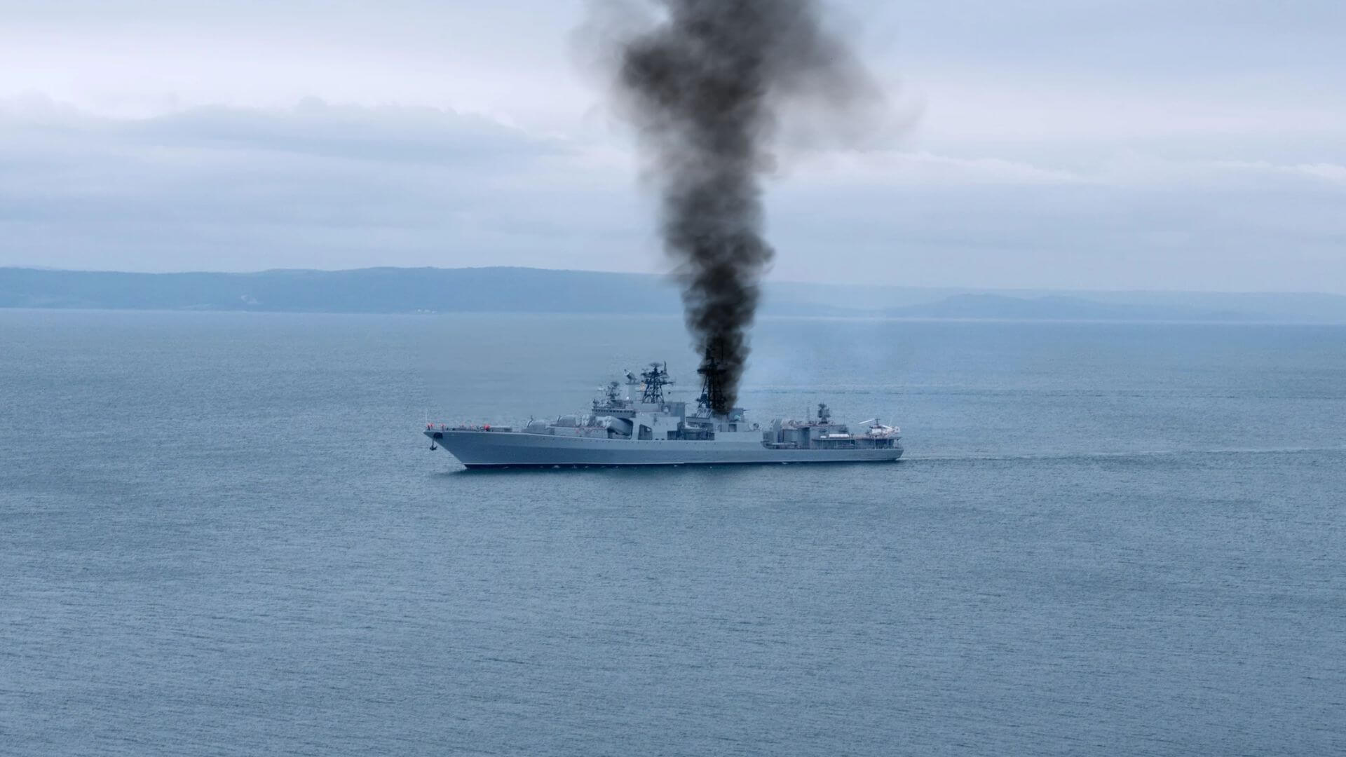
The Gulf of Finland is now a laboratory for a new kind of conflict, and we should treat the data it generates with the same rigor we apply to any climate indicator. When Ukraine's Security Service claims a drone strike hit the Russian corvette *Naro-Fominsk*, and Finland's military independently confirms detecting that strike, we are witnessing a measurable shift in how maritime security is validated. This is not a story about a single damaged hull; it is a case study in real-time, integrated threat assessment. The Finnish Defence Forces did not speculate, they detected, they tracked, and they stated the security situation remains stable. That is the kind of empirical, calibrated reporting that stands in stark contrast to the fog that often surrounds incidents like the Tragedy in the Gulf: Filipino Seafarer Lost in Tanker Explosion, where the human cost is clear but the operational picture remains opaque.
What matters for our readers, researchers, policymakers, and maritime professionals, is the practical consequence of this new verification chain. For decades, assessing damage to a naval vessel relied on satellite imagery, signals intelligence, or official statements. Now, a neutral NATO member's military can say, without equivocation, that a strike occurred, without needing to confirm the weapon used or the extent of injuries. This lowers the threshold for actionable intelligence. It also raises the stakes for any nation operating in these waters. The *Naro-Fominsk* moved under its own power toward St. Petersburg, smoke visible from Estonia's perspective, but the key variable is that Finland's detection capability has become a de facto arbiter. Compare this to the Bulgarian DNA tests confirm human remains found on tanker linked to Wine Trader, where forensic science is piecing together a tragedy after the fact. Here, the detection is happening in near-real-time, creating a longitudinal record of each incident.
The geopolitical implications are immediate and concrete. Drones have crossed into the airspace of Estonia, Latvia, and Lithuania, triggering shelter advisories and NATO scrambles. The Gulf of Finland is a confined waterway, a choke point that runs directly to St. Petersburg and the Ust-Luga export hub. Every drone incursion and every confirmed strike adds a data point to a risk calculus that shipping companies, insurers, and naval planners must update daily. The USS Theodore Roosevelt's recent port call in Singapore, tied as it was to global maritime data, underscores how navies are integrating real-time information into strategic movements. In the Baltic, the same principle applies at a tactical level: if a state can detect a strike on a moving warship, that capability reshapes the deterrent equation.
Our takeaway is specific: watch how Finland and Estonia operationalize this detection data in the coming weeks. If they begin sharing calibrated, peer-reviewed timelines of drone tracks and strike impacts, rather than just confirming an event, they will set a new standard for ocean intelligence in contested waters. The vessel limped home, but the precedent for transparency is what endures.