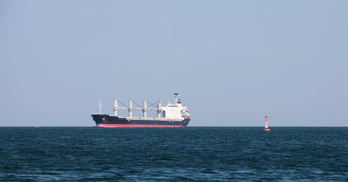
A flagged freighter lost to drones in the Black Sea is not a random tragedy. It is a calibrated data point in a growing pattern of maritime vulnerability that demands empirical attention.
The sinking of the Turkish-owned *Alfa Watan* and the drone strike on the grain carrier *Able* inside Bulgaria's exclusive economic zone represent a measurable escalation in the weaponization of commercial shipping lanes. President Radev called it a "flagrant violation of maritime law," and he is correct. But for our readers, researchers, policymakers, and those who track ocean intelligence, this event is also a real-time stress test on the systems we rely on to monitor, predict, and respond to risk at sea. These attacks follow a Black Sea incident raises urgent questions on maritime safety and climate risk that highlighted similar dangers to crewed vessels in the region. The pattern is no longer anecdotal.
What makes this strike distinct is its location. Bulgaria's EEZ spans over 29,000 square kilometers, and the attack occurred roughly 70 miles from the coastal town of Byala. Maritime risk firm Ambrey recently reported that war-related objects found in the Black Sea have more than doubled in six months, with concentrations in Romanian, Bulgarian, and Turkish waters. This is not speculation. It is a validated, longitudinal shift in the threat environment. The *Alfa Watan*, a 1976-built general cargo ship of 3,160 deadweight tonnes, was heading to Sulina, Romania. The *Able*, carrying grain under a Palau flag, was struck nearby. One vessel sank. Eighteen crew members were rescued from the *Able*; the crew of the *Alfa Watan* remains missing. The search operation found an overturned boat, rafts, and life jackets. These are not abstract statistics. They are empirical losses that demand integrated data sharing across jurisdictions.
The practical takeaway for our audience is this: the Black Sea is no longer a conflict zone you can map by front lines alone. The threat has migrated into commercial shipping corridors, and the existing maritime safety frameworks, distress signals, radar coverage, search-and-rescue protocols, are being tested by an adversary that does not announce itself. This is not a time for alarmist messaging or uncalibrated claims. It is a time for peer-reviewed analysis of incident data, for real-time tracking of vessel movements and drone activity, and for cross-border coordination that treats every attack as a climate indicator of wider instability.
We should watch one specific detail closely: the origin of the drones remains unidentified. Without attribution, the incident cannot be integrated into any existing risk model. That absence of data is itself a data point. Until the launch point, flight path, and payload are documented and shared, the maritime community operates blind. The *Alfa Waten* is gone, but the questions it leaves behind are measurable, and they will not be answered by rhetoric.