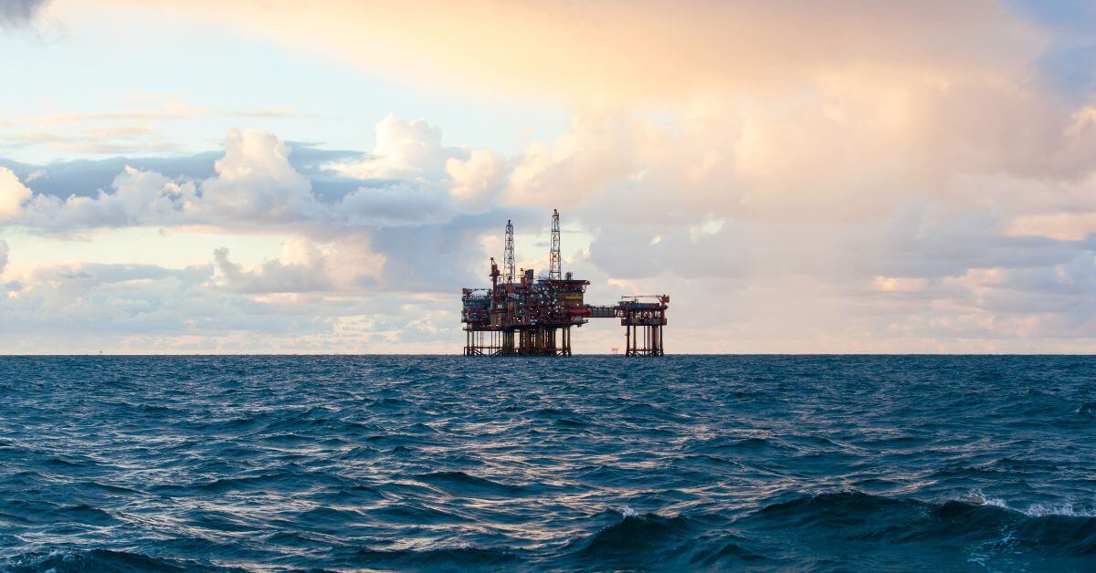
A drone detected by the Romanian Coast Guard near the Neptun Alpha gas platform is not just a localized security alert; it is a live, measurable stress test on the integrated data ecosystems we rely on for maritime stability. The incident, which triggered a Romanian response in the country's exclusive economic zone, sits at the intersection of critical infrastructure protection and the kind of real-time ocean intelligence that rarely makes headlines until something goes wrong. This is not about alarmism; it is about calibration. As we see in Calibrated ocean intelligence, now within reach through integrated data discovery, the tools to detect and respond to such anomalies are becoming more precise, but they only work if they are embedded in a framework that treats every surface and subsea event as a data point worthy of validation.
Our take is straightforward: this incident underscores the difference between having data and acting on it. The Romanian response was measured, not panicked, which suggests that the surveillance and classification protocols in place are functioning as designed. But the drone's proximity to a gas platform, a high-value asset with clear climate and economic implications, raises a question we should all sit with: are we applying the same rigor to monitoring human activity in the maritime domain as we are to tracking oceanographic conditions? We have seen in Russia Calibrates Export Revenue for Northern Sea Route Icebreaker Fleet how state actors are already calculating the economic value of strategic waterways. If a single drone can prompt a military response near a gas field, then the cost of ambiguity is no longer abstract. It is a direct line to the kind of escalation that Strikes Target Ports and Vessels in Confirmed Military Action documents, where ports and vessels become legitimate targets.
For our readers, the practical takeaway is not about predicting the next move. It is about recognizing that the ocean is no longer a passive space where events simply happen. It is a contested, monitored, and increasingly digitized domain. The drone incident is a reminder that the same integrated data ecosystem that helps us track climate indicators can also be used to secure sovereign assets, but only if the political will to act on that data exists. We would tell a reader who asks us about this: do not fixate on the drone itself. Fixate on the response time, the classification of the threat, and the transparency of the reporting. Those are the metrics that tell you whether ocean intelligence is being operationalized or just observed.
The concrete point to watch is the next step in the Black Sea. Will the Romanian government release a peer-reviewed analysis of the drone's flight path and origin? Will NATO integrate this event into its broader maritime domain awareness framework? These are not abstract questions. They will determine whether this remains a single incident or becomes a precedent for how gas platforms are defended in exclusive economic zones worldwide. That is the difference between reacting to an event and learning from it. We are not looking for a dramatic conclusion; we are looking for a calibrated one.