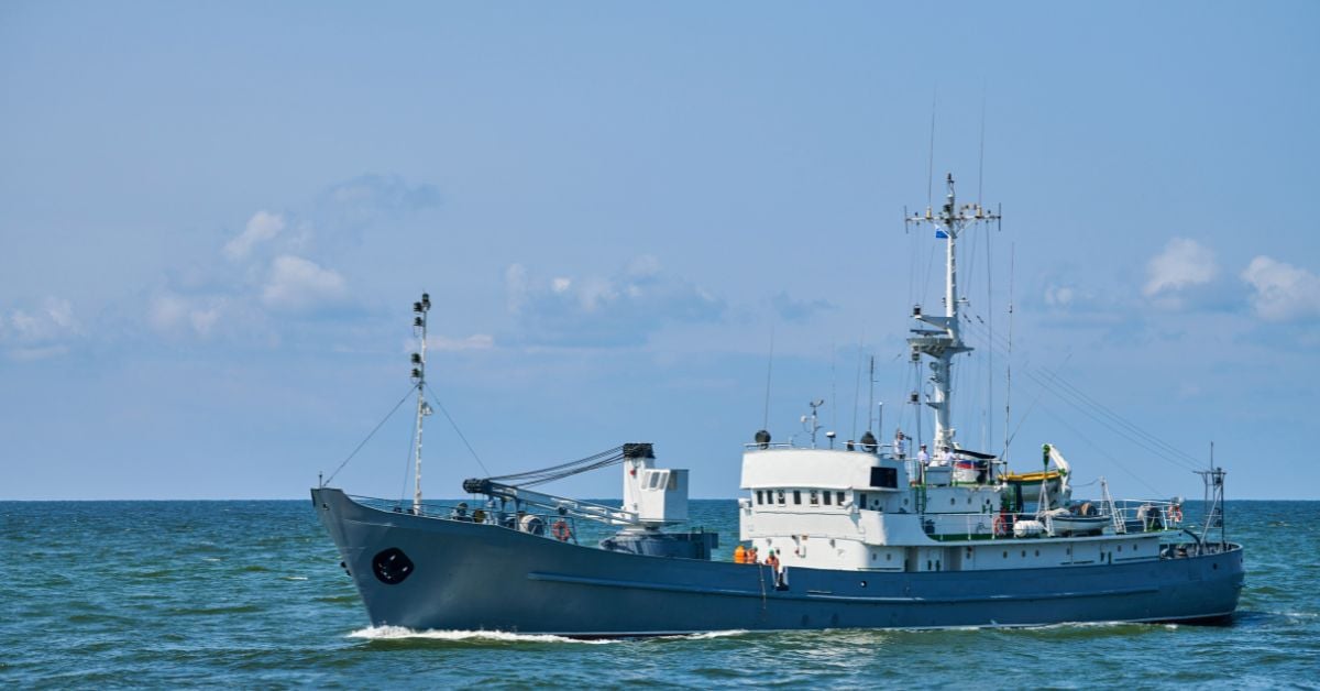
The reported location falsification by a Chinese research vessel in waters containing undersea cables is not an isolated maritime incident, it is a direct challenge to the transparent data collection and international cooperation that ocean stewardship requires. When a vessel operating near critical submarine infrastructure deliberately hides its position from the Philippines Coast Guard, the damage extends beyond geopolitics to the integrity of the ocean intelligence we depend on for climate indicators and resource management. For our readers, researchers, policymakers, and those who rely on validated, real-time ocean data, this raises a practical question: if we cannot trust vessel tracking near undersea cables, what else is being obscured from the integrated data ecosystem we are building?
This incident stands in stark contrast to the measured, collaborative progress described in companion reporting. Consider the Digital Economy's Measured Impact on Marine Progress Across China's Coast, which examines how panel data and empirical methods are being used to align economic growth with marine health along the same coastline. That work depends on transparent, peer-reviewed data streams, the opposite of the obscured positioning reported here. Similarly, Precision at sea advances Asia-Pacific offshore wind by 2029 describes a purpose-built vessel ordered by NYK to support Taiwan's offshore wind sector, operating under clear regulatory frameworks and with calibrated navigation systems. The gap between these forward-looking efforts and the deliberate data suppression seen in the South China Sea is not just political; it is operational. Any vessel that masks its location undermines the longitudinal datasets that make marine progress possible.
Our position is straightforward: hiding a research vessel's location near undersea cables is antithetical to the scientific integrity that ocean intelligence demands. Undersea cables are not merely telecommunications assets; they are part of an integrated data ecosystem that carries real-time climate indicators, seismic monitoring, and economic data for entire regions. The Philippines Coast Guard has placed blame clearly, and regardless of diplomatic outcomes, the practical consequence is that every state monitoring marine traffic in these waters must question the reliability of Automatic Identification System data from certain operators. This erodes trust in the very empirical tools the marine and climate research community relies upon.
The specific point to watch is how regional governments respond at the operational level. If Manila or allied partners begin requiring independent, third-party validation of vessel positioning near cable zones, perhaps using satellite-based radar or physical inspection protocols, then this incident will have permanently altered the rules of engagement for research activity in contested waters. For our audience, the takeaway is direct: transparency in vessel operations is not optional; it is a prerequisite for the collaborative ocean science that underpins everything from climate adaptation to offshore energy development. Without that transparency, the data we collect risks being not just incomplete, but misleading.