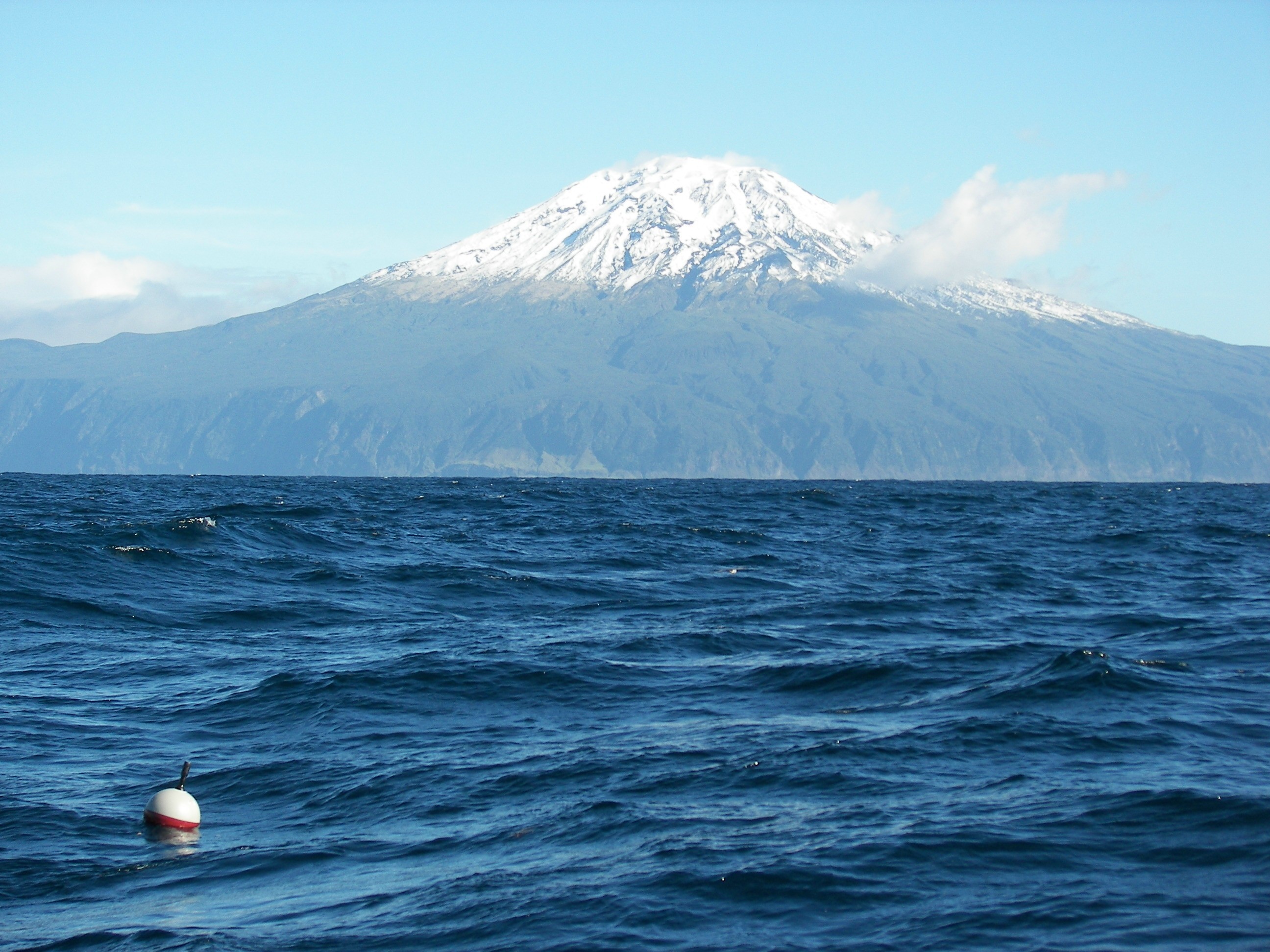
The Global Drifter Network is one of those rare scientific instruments that does exactly what it promises: deliver real-time, empirical data from the ocean surface to sharpen weather forecasts and protect coastal communities. This is not aspirational technology waiting for validation, it is a working, peer-reviewed system that has already deployed over 25,000 drifters since 1979, with 1,436 units currently transmitting data from every ocean basin. The practical value for our readers is immediate and measurable: better hurricane intensity predictions, more reliable marine forecasts, and a longitudinal record of ocean circulation that ties directly to climate indicators like the El Niño Southern Oscillation.
What distinguishes this program is its operational model. NOAA's Atlantic Oceanographic and Meteorological Laboratory (AOML) does not rely solely on dedicated research vessels. It partners with the US Navy, commercial cargo ships, Semester at Sea, and even the Volvo Ocean Race to deploy drifters in hard-to-reach waters like the Southern Ocean. This opportunistic approach builds a robust data ecosystem without the prohibitive cost of dedicated cruises. It also creates a citizen science opportunity for partner crews, who contribute to a global observing system while improving their own weather routing. Compare this to the challenges of integrating fragmented bathymetric data through shared standards, another fundamental piece of ocean intelligence, and the contrast is instructive. The drifter program's strength lies in its simplicity: a self-activated buoy with a 10-meter drogue that moves with surface currents and transmits barometric pressure, temperature, and current data for roughly 450 days. No complex calibration delays, no interoperability disputes. The data flows directly into the Global Telecommunications System and into operational weather models.
The engineering improvements coming from Scripps Institution of Oceanography deserve specific attention. A redesigned attachment mechanism now prevents drogue detachment, providing more reliable current measurements. More importantly, Scripps is field-testing Directional Wave Spectrum Drifters that can measure wave patterns from storms, including hurricanes. This could improve wave height warnings for mariners, a concrete safety upgrade for anyone working on or near the water. The program's real value is twofold: it improves the safety and wellness of coastal communities through better forecasts, and it provides a long-term dataset of ocean dynamics so we can understand, predict, and plan for the future. That is not marketing language; it is a statement of operational fact supported by decades of calibrated observations.
The open question worth watching is how this network scales. With 1,436 active drifters and a target distribution map maintained by AOML's Drifter Operations Center, the program depends on continued partnerships. The Volvo Ocean Race has proven that non-traditional vessels can fill gaps in the Southern Ocean, but maintaining global coverage requires sustained collaboration with meteorological agencies in Australia, South Africa, New Zealand, and the European Union. As shipping routes shift due to geopolitical disruptions, a trend documented in our related analysis of route divergence, opportunistic deployments may become harder to coordinate. The next milestone for this network is not a new sensor; it is keeping the existing one fully staffed with willing partners.