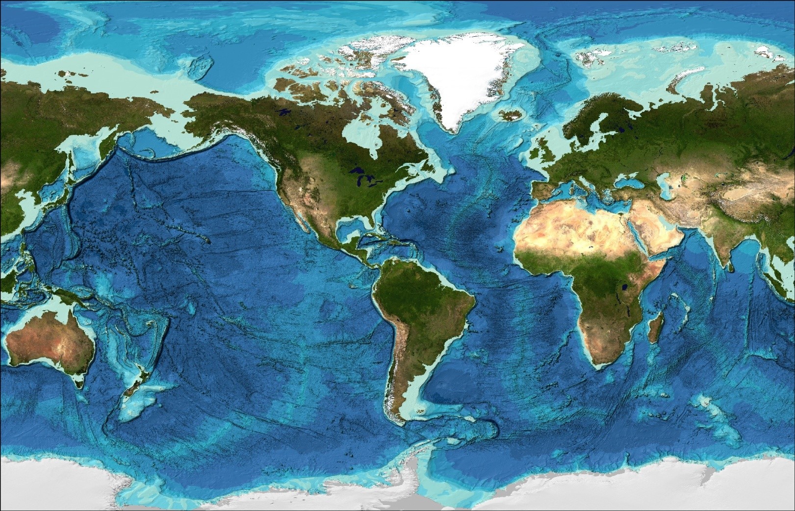
The jump from 6% to 15% ocean floor coverage in just two years is not merely a milestone, it is proof that a coordinated global strategy can accelerate discovery at a pace many thought impossible. For researchers, policymakers, and ocean enthusiasts alike, this progress from the Seabed 2030 Project represents a measurable shift from aspiration to execution. What was once a blank expanse on our maps is now yielding empirical data that will reshape our understanding of climate indicators, benthic habitats, and ocean circulation. This is not just about filling in a chart; it is about building the integrated data ecosystem that ocean science has long needed.
The practical implications are immediate. With 32 million square kilometers of new bathymetric data, an area larger than Africa, we now have a foundation for more accurate climate modeling, tsunami wave propagation forecasts, and sustainable marine resource management. The contributions from industry partners like Fugro and Ocean Infinity demonstrate that the old divide between commercial secrecy and scientific transparency is bridgeable. As we noted in our coverage of Connecting ocean data to its methods for measurable traceability, the value of ocean data multiplies when we can trace its collection methods and calibrate its accuracy. This mapping effort embodies that principle: every sonar ping from a transit voyage becomes a validated data point in a peer-reviewed grid.
Yet the most striking development may be the partnership between Seabed 2030 and the XPRIZE competition, which awarded $4 million to a team of alumni from the Nippon Foundation-GEBCO training program. This is a direct pipeline from capacity building to technological innovation. The same program that trained these mappers is now feeding the grid with data from autonomous systems and deep-sea expeditions. It aligns with the collaborative framework we explored in Four pathways to a shared data ecosystem for ocean industry, where data sharing becomes a competitive advantage rather than a loss. The industry donations of 570,000 square kilometers of data, roughly the size of Kenya, validate this model.
The concrete point to watch is the 2030 deadline. With 85% of the ocean floor still unmapped at modern survey resolutions, the remaining decade demands a sustained increase in data collection and sharing. The GEBCO 2019 Grid has already doubled its resolution, but the real test will be whether the industry and government partnerships forged in these first two years can scale to cover the vast gaps in the Southern Ocean, Arctic, and Pacific basins. The answer will determine not just the completeness of a map, but the quality of the ocean intelligence we bring to climate adaptation and marine stewardship.