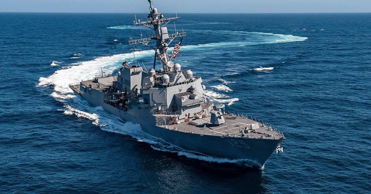
The U.S. Navy's successful demonstration of a drone that can land on a moving ship without GPS is a leap forward for operational resilience, and we believe it should redirect how the entire maritime domain thinks about data dependency. This is not just a software patch; it is a validation that autonomous systems can navigate contested environments using only commercial cameras and onboard algorithms, turning a standard sensor into a reliable navigation tool. For anyone tracking the escalating stakes in the Strait of Hormuz Posture Raises Stakes for Maritime Data Verification and the emerging need to Counter-Drone Electronic Warfare Now Protects Guided-Missile Submarine USS Ohio, this breakthrough addresses the single most vulnerable link in modern naval operations: the position signal itself.
What makes this development significant is not the fact that a drone can land, it's that the Navy's Naval Air Warfare Center Aircraft Division (NAWCAD) has replaced multimillion-dollar radar systems and months-long ship modifications with a software upgrade that works on nearly any unmanned hardware. As Rear Adm. Todd Evans stated, "In contested areas where satellites and communications are jammed, autonomy gives significant advantage to our sailors." The practical consequence for maritime operations is immediate: a fleet can now deploy unmanned systems without retrofitting every deck, and those systems can recover on a pitching vessel using visual cues and predictive algorithms that calculate the deck's rise and fall in real time. This is an integrated data ecosystem where the drone's own mission sensors, its cameras, double as its landing guidance. The technology has moved from live-flight demonstration to the edge of acquisition pipelines, including the Collaborative Combat Aircraft program and DARPA's EVADE project.
We see two major implications here for our readers. First, this approach directly counters the tactical reality described in the US Forces Neutralize Iranian-Affiliated Vessel in Gulf of Oman scenario, where denial of navigation and surveillance is a primary adversary strategy. If GPS is the first link an adversary severs, then a system that can operate, and land, without it is not a luxury; it is a baseline requirement. Second, the modular, scalable nature of this software means that the same logic could be adapted for non-military use: search-and-rescue drones operating over open water, oceanographic survey aircraft, or even autonomous vessels coordinating data collection in polar regions where satellite coverage is intermittent. The core principle, validated, real-time navigation from onboard visual data, has applications far beyond the flight deck.
The detail to watch is how quickly this software transitions from NAWCAD's test ranges to operational fleet platforms. The Navy is planning to scale the technology to tactical resupply drones and larger unmanned systems, but scaling is where software-defined capabilities often collide with procurement timelines. If the Modular Adaptable System can move from a successful flight test to a deployed fleet asset within a single acquisition cycle, it will set a new standard for how quickly empirically validated autonomy can reshape maritime operations. Until then, the question is not whether the technology works, it does, but whether the institutional machinery can match the speed of the innovation.