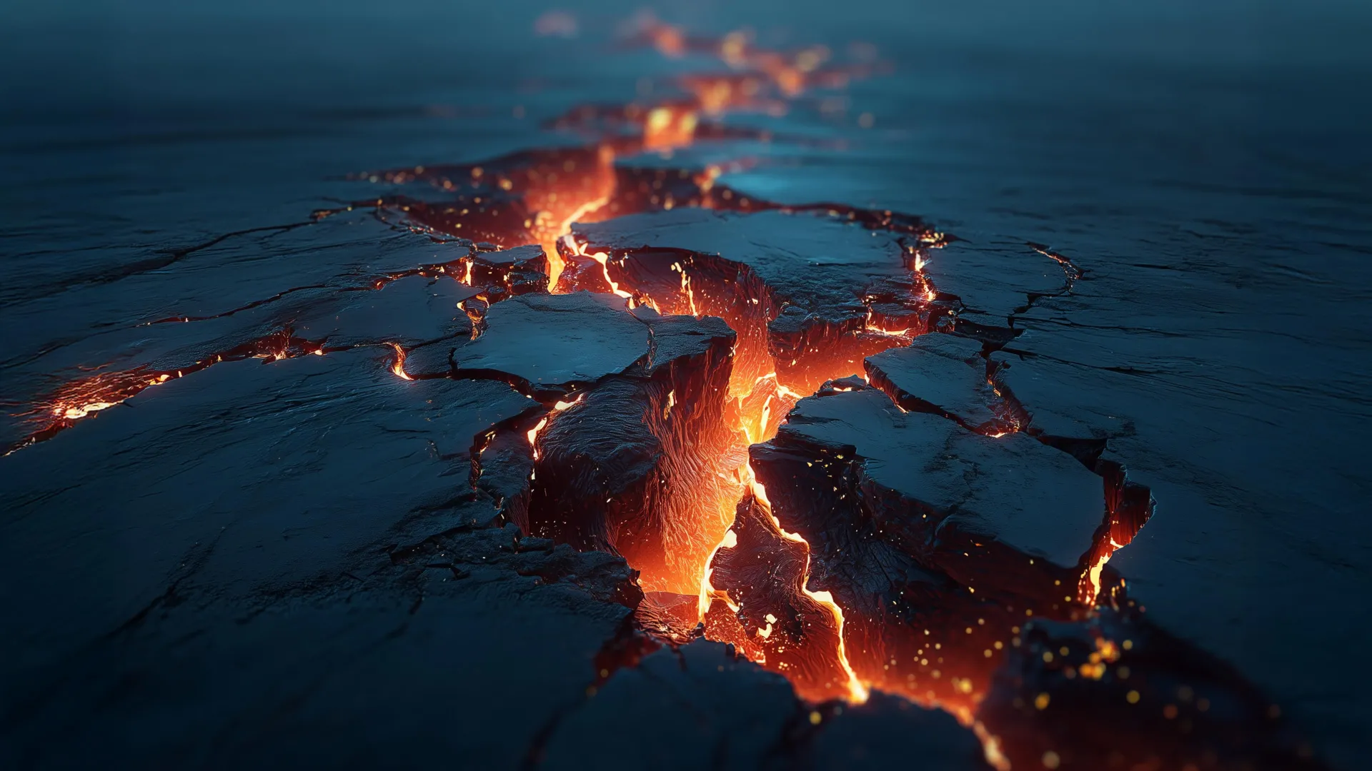
A 100-million-year-old volcanic field in Iran does more than rewrite a tectonic timeline; it reminds us that the ground beneath our most volatile regions holds secrets that can reshape our understanding of global forces. This discovery, which reveals a long-lost volcanic system and sheds light on the disappearance of an ancient ocean, is a direct challenge to the assumption that the Middle East's geological story is a settled one. For readers tracking climate indicators and ocean intelligence, this is a practical signal: the planet's crust is a living archive, and every new reading of it refines the models we rely on for risk assessment and resource management.
The findings connect directly to other stories we have been following. Consider the challenges of navigating the Strait of Hormuz, where CENTCOM Command Confirms 1.5 Billion Barrels Moved Through Hormuz illustrates the immense economic and strategic weight carried by a single waterway. That chokepoint exists because of the very tectonic forces now being re-examined, the same forces that closed an ancient ocean and uplifted the Iranian plateau. Meanwhile, the recent Fire Reported on Unidentified Vessel Near Al-Faw Port, Crew Status Unknown underscores how fragile maritime infrastructure remains in a region shaped by deep-time geology. These are not separate headlines; they are surface expressions of a planetary system we are only beginning to measure in real time.
What makes this discovery empirically significant is its scale and precision. A volcanic system active 100 million years ago does not simply fill a map gap, it provides a calibrated marker for how the Tethys Ocean closed and how the Arabian and Eurasian plates collided. For researchers working with longitudinal data, this is a rare, validated anchor point. It allows climate modelers to test assumptions about ancient carbon cycles and sea-level change. For policymakers, it reinforces that the region's geological instability is not a recent phenomenon but a deep, ongoing process. The practical takeaway is clear: integrated data ecosystems that combine paleogeology with modern satellite and seafloor monitoring will yield the most actionable ocean intelligence.
We are left with a specific question to watch. If this volcanic field represents a previously unknown phase of subduction, what other tectonic signatures lie buried beneath the Zagros Mountains or the Persian Gulf? The answer will affect everything from earthquake hazard maps to the long-term viability of subsea cable routes. That is the concrete consequence of rewriting a 100-million-year-old chapter: it changes the baseline for every measurement we make today.