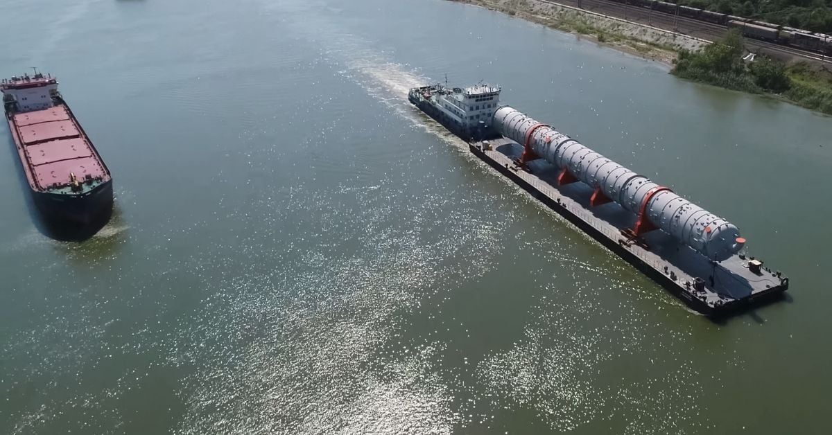
A barge is the simplest floating vessel, yet its role in moving cargo across inland waterways is anything but trivial. For readers who track the arteries of global trade, from the Mississippi to the Rhine to the Yangtze, these unpowered workhorses represent a quiet but essential layer of logistics. They carry bulk commodities over short distances through rivers, canals, and shallow waters, often at a fraction of the cost of rail or road. That efficiency matters more now than ever, as Optimal LNG Carrier Design: Boosting Capacity, Reducing Costs shows how the industry is constantly recalibrating vessel design for higher capacity and lower expense. The principle is the same for barges: maximize payload while minimizing draft and fuel consumption, even if the propulsion comes from a tugboat rather than onboard engines.
Our take is that barges deserve more attention than their modest profile suggests. They are not a relic of pre-industrial shipping; they are a calibrated response to geography and economics. Inland waterways bypass congested ports and road networks, reducing emissions per ton-mile and offering a measurable advantage for heavy, low-value goods like coal, grain, sand, and petroleum. Yet the same waterways that make barges viable also make them vulnerable. Droughts lower river levels, floods disrupt schedules, and aging lock infrastructure creates bottlenecks. When we read about the Vostok Project Launches Arctic Oil Exports Amid Geopolitical Shifts, we see a contrast: Arctic oil requires massive, purpose-built tankers and icebreakers, while inland cargo moves on vessels that have changed little in a century. That resilience is a strength, but it also raises an open question about modernization. Are we investing enough in the data and monitoring systems, the real-time water level sensors, the integrated traffic management, that could keep these shallow-draft corridors running reliably?
The practical takeaway for our audience is this: the next time you see a barge train moving silently past a river town, understand it as a climate indicator. A shift in barge traffic volumes or draft restrictions can signal drought severity, infrastructure strain, or shifts in commodity flows faster than quarterly reports. For researchers and policymakers, barges offer a longitudinal dataset on economic activity and environmental health that is often overlooked. For enthusiasts, they are a reminder that not all ocean intelligence comes from satellites and deep-sea sensors; some of it floats just below the surface of the Mississippi or the Yangtze. The specific detail to watch is how shallow-water navigation adapts to more extreme weather patterns, because if barges cannot run, the cost of everything they carry goes up, and the data will tell us before the headlines do.