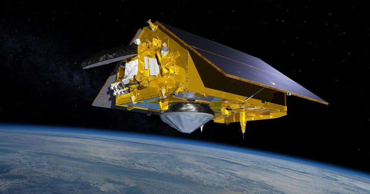
Sentinel-6B's validation as the global reference for sea level measurement is a quiet but decisive step forward for ocean science, and we see it as a necessary recalibration of how we trust the data that drives policy. This satellite is not just another instrument in orbit; it is now the calibrated yardstick against which all other sea level observations will be measured. For researchers and policymakers who rely on longitudinal climate indicators, this means a single, peer-reviewed standard for tracking the ocean's rise, eliminating the noise that can come from comparing disparate sensor outputs. When 2026 climate data validates the urgency of integrated ocean stewardship, having a validated reference like Sentinel-6B ensures those findings are built on empirical, measurable ground truth rather than interpolated estimates.
What this validation provides in practical terms is a foundation for the entire integrated data ecosystem that connects satellites, buoys, and citizen science networks. Without a common reference, real-time ocean intelligence can drift into inconsistency, especially when combining data from sensors with different lifespans and calibration histories. Sentinel-6B locks that system into alignment, allowing every subsequent measurement, from coastal tide gauges to deep-sea floats, to be compared directly against a stable, global baseline. This is not about having the most advanced technology for its own sake; it is about ensuring that the climate indicators we track year after year are validated and measurable, so that the urgency we feel is backed by data we can defend.
The timing matters. As we learn more about mechanisms like sticky marine snow locking six times more carbon in the deep ocean, the need for precise sea level context becomes acute. Carbon storage in the deep ocean influences thermal expansion and circulation patterns, both of which affect regional sea level rise. With Sentinel-6B as the reference, scientists can now isolate these interactions with greater confidence, distinguishing between global trends and local variability. For our readers, whether you are modeling future coastlines or allocating adaptation funding, the takeaway is direct: the next time you see a sea level projection, it can be traced back to a single, peer-reviewed standard. That is the difference between informed action and educated guesswork.
One detail to watch is how this reference status affects the next generation of altimetry missions. Sentinel-6B sets a precedent for what "global reference" means operationally, and future satellites will need to demonstrate cross-calibration against it before their data is accepted as equivalent. That requirement will either accelerate innovation or expose gaps in continuity planning. Either way, the ocean intelligence community now has a fixed point to navigate by.