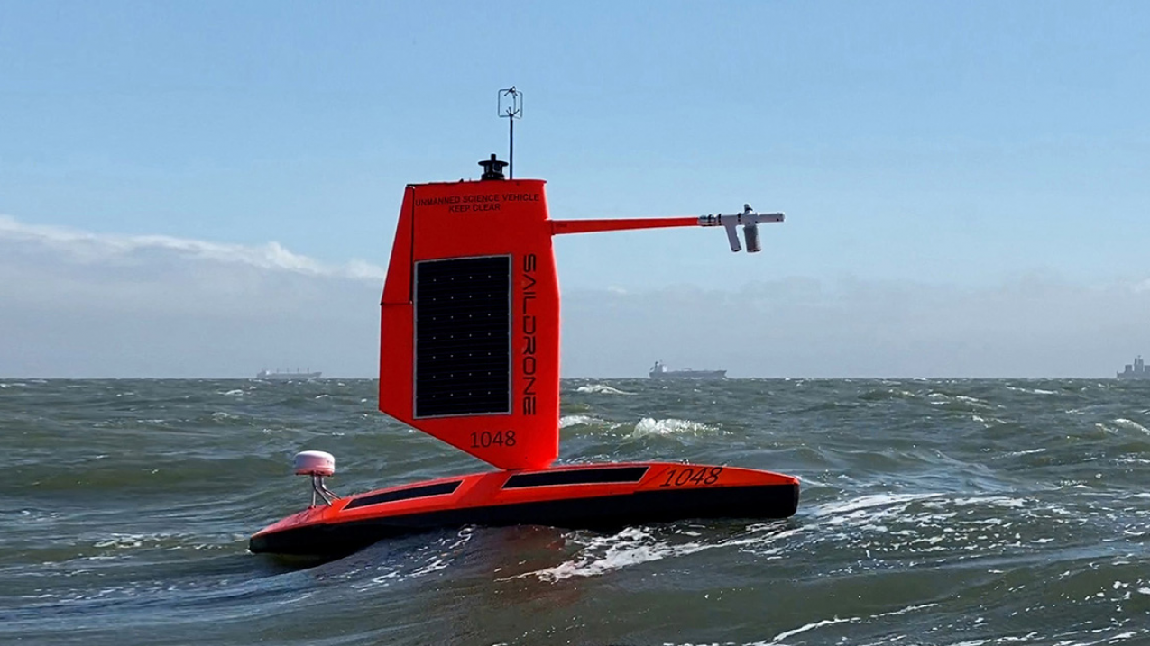
The first-ever video from inside a hurricane, captured by a Saildrone at the ocean surface, is not a novelty, it is a breakthrough in empirical observation that closes a critical data gap. For decades, our understanding of hurricane intensification has relied on satellite imagery and aircraft reconnaissance, but the ocean's role in fueling these storms has remained largely inferred. Now, with a validated, real-time view from the wave-tossed surface, we have direct evidence of how air-sea interaction drives the most powerful events on Earth.
This achievement becomes even more significant when placed alongside recent work that has expanded our observational capacity. The August ocean heat readings reach highest validated level on record remind us that the ocean's thermal energy is at an all-time high, energy that hurricanes convert into destructive force. Meanwhile, the calibrated shipboard dataset now measures the full ocean water cycle has given us the tools to quantify evaporation and precipitation at the sea surface with unprecedented precision. The Saildrone footage is the missing visual link: it shows us exactly where that heat and moisture transfer from ocean to atmosphere, in real time, inside the storm's core.
What this means for our readers is practical. For researchers and modelers, this video provides surface-level turbulence data, wave interaction metrics, and direct observations of spray generation, parameters that have been poorly constrained in hurricane models. For policymakers, it underscores the urgency of investing in integrated data ecosystems that combine satellite, airborne, and in situ platforms. The Saildrone is not a replacement for existing tools; it is a calibrated addition that fills a specific, dangerous blind spot. As ocean heat content continues to climb, the ability to measure hurricane intensification at the surface becomes not just a scientific curiosity but a public safety imperative.
One specific takeaway stands out: the video shows the ocean surface during a hurricane is not a chaotic mess but a structured environment where waves, wind, and heat exchange follow measurable patterns. The next step is to deploy multiple drones in future storms to build a longitudinal dataset that can validate our intensification forecasts. The question now is whether the observational infrastructure will scale as fast as the climate indicators demand.