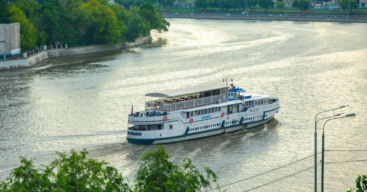
A cruise ship torn from its moorings and swept into a bridge. The image is arresting, but the underlying story is one of systemic vulnerability. Days of continuous rainfall along the Narayani River turned a tourist vessel into a hazard, displacing it with a force that infrastructure was not designed to withstand. For our readers, researchers, policymakers, and those who track the real-world consequences of a changing climate, this is not an isolated mishap. It is a data point in a pattern that demands a more integrated understanding of how inland waterways respond to extreme precipitation.
Consider the contrast with another recent event: when a seafarer suffered severe head and spinal injuries near the Andamans, Ocean Data Enables Swift Rescue of Injured Seafarer Near Andamans demonstrated that real-time environmental intelligence can save lives. That rescue relied on calibrated, integrated data to guide a response. The Narayani incident, however, suggests a gap: we lack the same predictive capability for riverine flood events that we have begun to develop for open-ocean emergencies. When a river rises without adequate warning, the margin for action shrinks to zero.
This is where empirical, longitudinal observation becomes essential. A single flood event is anecdotal; a decade of measured river discharge, sediment load, and rainfall intensity is actionable. Vistula Lagoon Ice Shove Morphology and Impact Characterized in New Study shows how careful characterization of a specific hydrodynamic phenomenon, ice shoves, can inform coastal planning. The same approach must be applied to the world's river systems. We need validated, peer-reviewed baselines for how flood pulses move through catchments, especially in regions like the Himalayan foothills, where topography and monsoon dynamics create compounding risks. Without that foundation, every heavy rain becomes a gamble.
The practical takeaway for our audience is this: a vessel is not just a vessel. It is a mobile sensor platform, a node that could be feeding real-time water level and current data back to an integrated data ecosystem. The cruise ship that hit the Narayani Bridge was not designed for that role, but future vessels could be. We should ask why that capability was not already in place. The question is not whether extreme rainfall will happen again, it will, but whether we will have the ocean intelligence to anticipate its path. That is the specific consequence to watch: will the next flood find us equally unprepared, or will we have measured, calibrated, and shared the data needed to keep vessels and infrastructure out of harm's way?