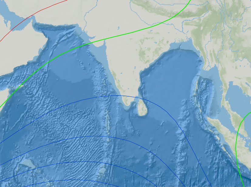
Magnetic intelligence from the northern Indian Ocean is filling one of the last blind spots in our planetary data network, and that is a development worth watching closely. The MAGNIO initiative represents a practical, collaborative step toward understanding a region that has long been undersampled, and its success could sharpen everything from navigation accuracy to early warning systems for tsunamis. For researchers and policymakers who rely on empirical, calibrated models of Earth's magnetic field, this is not an abstract academic exercise, it is about closing a measurable gap in our ability to read the planet's signals. The scarcity of ground-based observatories across 18 million square kilometers has limited our capacity to model phenomena like the equatorial electrojet and solar quiet currents, which in turn affects how we interpret satellite data from missions like Swarm. As European ship recyclers urge EU inclusion of Indian facilities, we see a parallel need for stronger regional infrastructure in the Indian Ocean, not for recycling, but for data acquisition. The link between ground truth and satellite precision is the same whether you are tracking magnetic anomalies or industrial compliance, and both efforts depend on sustained, integrated observation.
What makes MAGNIO more than a data-gathering exercise is its explicit focus on linking data producers with data users. This is not a top-down model imposed by a distant institution; it is a network designed by the International Union of Geodesy and Geophysics, working with India's CSIR-NGRI, the British Geological Survey, and partners across Asia. Pooling existing data into an integrated database, something the project explicitly aims to do, could yield a knowledge base that benefits mineral prospectors, drilling operators, and climate modelers alike. The region's magnetic variations contain signals of electromagnetic induction from ocean waters and subsurface conductive bodies, meaning these readings can help geologists interpret the crust-mantle configuration beneath the Indian Ocean geoid low and the Andaman-Sumatra subduction zones. When we consider that Arctic LNG 2 vessel detained in Norway after weather shelter inspection highlights how quickly operational decisions can be disrupted by environmental and regulatory factors, the value of reliable geomagnetic data for protecting satellite-based navigation and ground-based technology becomes even clearer. Quantifying the global toll of natural disasters reminds us that megaearthquakes and tsunamis claim thousands of lives annually, and better subsurface imaging from magnetic data could improve hazard assessments in precisely these subduction zones.
The practical takeaway is straightforward: continuous ground-based measurements with a time resolution of one minute or better, when combined with satellite data, will allow scientists to model equatorial magnetic variations with unprecedented accuracy. That means better baseline readings for navigation, more precise anomaly maps for exploration, and improved protection for satellites and power grids during solar storms. The open question is whether the agencies that hold existing data in countries like India, Pakistan, Indonesia, and Sri Lanka will commit to sharing it in a standardized, peer-reviewed format. MAGNIO has the structure and the funding; what remains to be seen is whether the political will matches the scientific urgency. The next step to watch is how quickly the first integrated database emerges from this network, and whether it can sustain the data continuity that has been so elusive in the region.