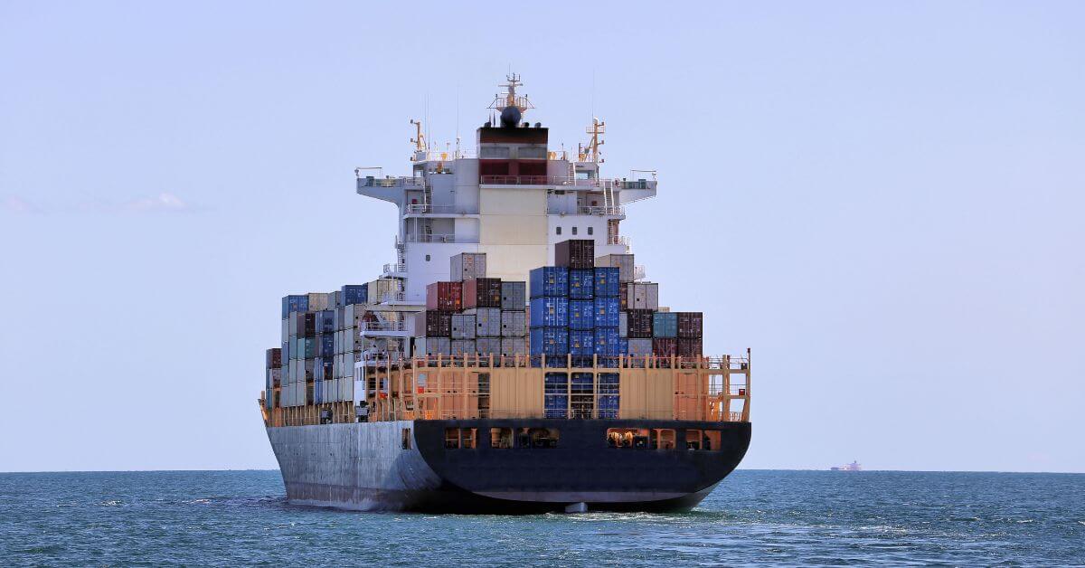
The serial production of Türkiye's TAYFUN Block 3 ballistic missile, designed specifically to engage moving maritime targets, signals a measurable escalation in how coastal states are weaponizing precision against the ocean's most strategic assets. This is not a speculative development; deliveries to the Turkish Armed Forces are planned for 2026, meaning the operational reality is already being calibrated. For our readers, whether focused on naval logistics, maritime security, or the intersection of defense and ocean governance, this move compresses the distance between empirical capability and geopolitical intent.
We see this as a direct statement about the value of maritime domain awareness. The TAYFUN Block 3 is built to hit a moving ship, which requires integrated, real-time data on vessel position, speed, and environmental conditions. This mirrors the same ocean intelligence principles that drive our work: the need for validated, longitudinal data to track and predict behavior at sea. Compare this to the recent Captain of Russian-controlled bulker charged over 54,000 tonnes of Ukrainian grain, where a single vessel's movement became a legal and geopolitical flashpoint. The TAYFUN Block 3 transforms that kind of tracking from a forensic tool into a kinetic one. It is a practical, sobering example of how maritime data ecosystems are being weaponized alongside their traditional uses for climate monitoring and shipping efficiency.
The timing also matters. Türkiye is simultaneously advancing its domestic naval capabilities, as seen in the Turkish Navy marks 488th Preveva anniversary with homegrown frigate TCG Istanbul, a platform designed and built in-country. The TAYFUN Block 3 is not an isolated product; it fits into a broader, integrated defense ecosystem where sensors, platforms, and munitions are being built from the same national blueprint. For ocean stakeholders, this means the lines between commercial shipping, coastal air quality, like the Tugboat emissions mapped along Trabzon terminal routes to assess coastal air quality, and naval operations are becoming harder to separate. The same seas that carry grain, emissions, and data now also carry ballistic missiles programmed to intercept vessels in motion.
Our take is clear: this is a concrete signal that maritime precision strike capabilities are no longer the exclusive domain of a few major navies. The practical consequence for our audience is that any vessel operating in contested waters, whether a research ship, a tanker, or a patrol boat, must now account for a wider array of threats that depend on the same kind of integrated, real-time data we champion for climate science. The open question is not whether this technology will spread, but how the global community will calibrate its own ocean intelligence to keep pace. Watch for the first operational test against a live maritime target; that will be the empirical measure of whether the system works as designed.