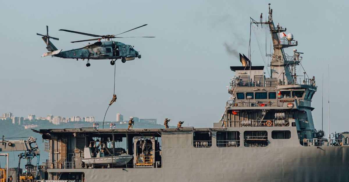
The recent joint military exercise between the United States and the Philippines, which simulated a naval formation of the Chinese People's Liberation Army Navy (PLAN) defending Manila's territorial waters, is a stark reminder that the ocean is not only a source of life but also a theater of strategic competition. While our focus at World Data Ocean is on the scientific imperative of ocean stewardship, we cannot ignore that the same waters we seek to understand through Phased Negotiations Aim to Ease Restrictions on Strait of Hormuz are also being calibrated for military readiness. This drill, by its very design, injects a measurable variable into the regional security equation: the assumption that contested maritime zones require simulated defense to validate strategy. For our readers, researchers, policymakers, and ocean enthusiasts alike, this raises a critical question about how empirical data on ocean health can coexist with the operational realities of naval power.
The practical implication is clear: maritime domain awareness is no longer just about climate indicators or acoustic detection. It is about integrated data ecosystems that must account for military activity as a primary driver of ocean use. Consider the contrast with the RAP-Based Mooring System Enhances Long-Range Deep-Sea Acoustic Detection story, which demonstrates how technology can improve our understanding of underwater environments for scientific purposes. The same acoustic sensors that track whale migrations or monitor seismic activity could, in a contested region, become part of a calibrated surveillance network. This is not an alarmist projection; it is a realistic assessment of how validated, real-time data streams are already being integrated into both conservation and defense frameworks. The ocean does not distinguish between a research vessel and a warship, but the data they collect can serve very different masters.
Our honest take is that the oceanographic community must engage with these geopolitical exercises with the same rigor we apply to peer-reviewed research. The drill's focus on defending territorial waters is a direct challenge to the open-access, collaborative ethos that underpins global ocean intelligence. We would tell a reader who asks about this: do not dismiss it as a purely political event. Watch how the simulation's outcomes influence real-world decisions on shipping lanes, fishing rights, and the placement of observing platforms. The Strait of Hormuz negotiations, for instance, show that phased diplomacy can ease restrictions on critical waterways. The South China Sea, however, remains a space where empirical data on currents, biodiversity, and sea-level rise is increasingly collected under the shadow of competing claims.
The specific takeaway here is that ocean data is never neutral. Every buoy deployed, every acoustic array calibrated, and every simulation run in these waters carries a dual purpose: it can advance scientific understanding or reinforce strategic postures. The question for us is whether the integrated data ecosystem we champion can remain a tool for shared knowledge, or whether it will be fragmented by the same geopolitical tensions these drills are designed to test. Watch how the next generation of ocean sensors are deployed in the South China Sea, their placement will tell you more about the future of maritime governance than any simulation ever could.