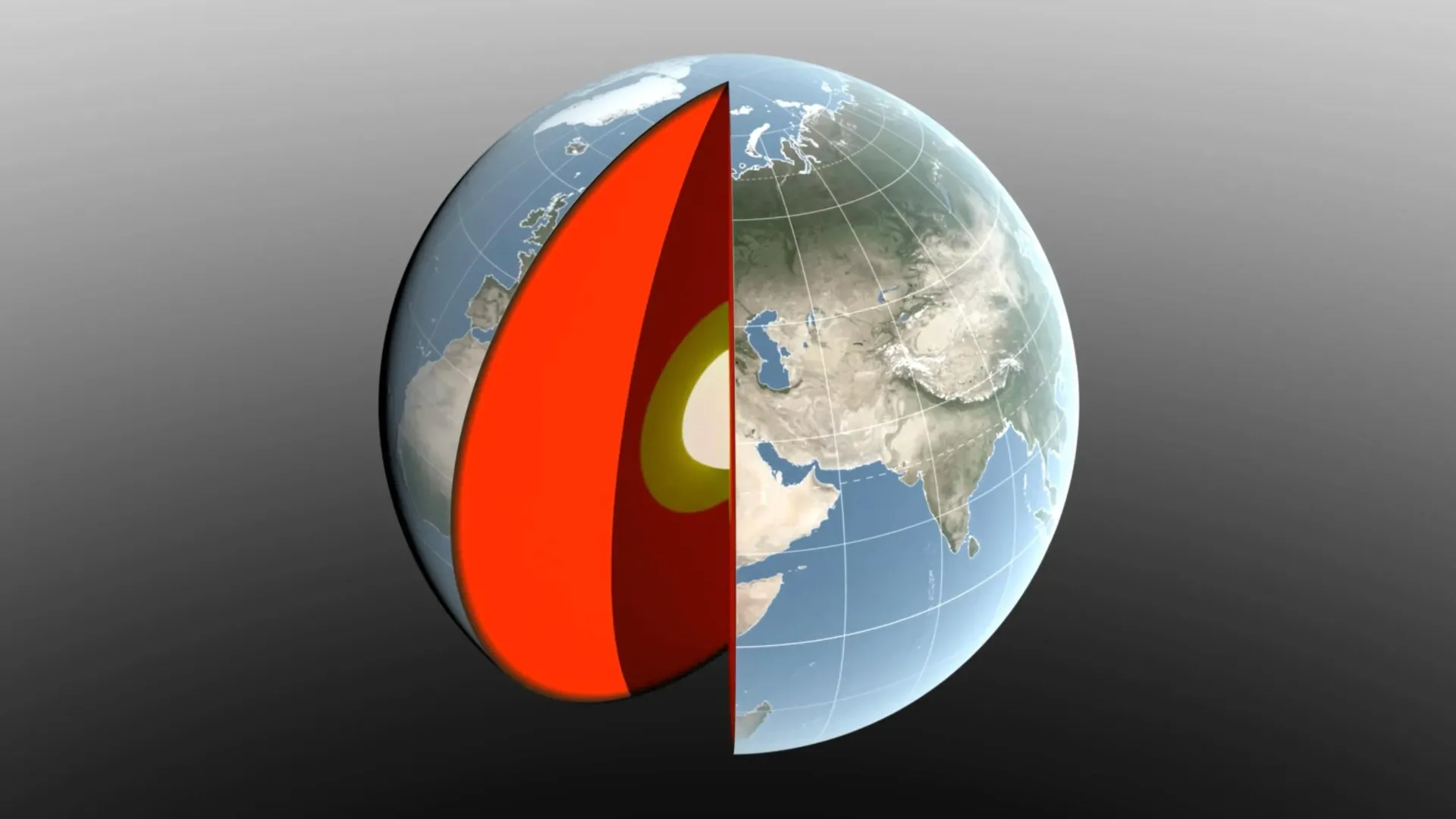
Earth's center of mass is not fixed, and that is precisely why tracking its millimeter-scale wanderings matters. NASA's new method, combining laser-ranging satellites, GPS data, and crustal deformation measurements, turns a subtle geophysical wobble into a validated, real-time indicator of how water, ice, and air are redistributing across the planet. For our readers, this is not an abstract refinement of orbital mechanics; it is a practical upgrade in our ability to measure the planet's response to climate forcing.
The center-of-mass signal integrates the same hydrological shifts that appear in other observational domains. When we reported that Ocean Color Shift Reveals Measurable Climate Indicators Worldwide, the color changes reflected altered phytoplankton communities driven by warming and stratification. Now, the same mass movements that affect ocean color, seasonal ice melt, groundwater depletion, large-scale precipitation anomalies, are being read directly in the geodetic data. The link is empirical: as ice sheets lose mass and ocean basins gain water, the planet's balance point shifts. NASA's technique gives us a single, calibrated number that synthesizes those distributed processes. For researchers working with longitudinal datasets, whether from shipboard networks like the calibrated shipboard dataset now measuring the full ocean water cycle or satellite altimetry, this provides an independent check on their own mass-balance calculations.
What makes this development significant is its integration. Previous methods required reconciling disparate models of ocean circulation, glacial isostatic adjustment, and atmospheric loading. NASA's approach folds those inputs into a single, peer-reviewed measurement chain. For policymakers and ocean managers, this means climate indicators that were once inferred from multiple, sometimes conflicting sources can now be cross-validated against a direct observation of the planet's geometric center. The practical consequence: when we see a shift in the center of mass correlated with a Massive Iceberg Calving and Transit in the Arctic, we can quantify that event's contribution to global mass redistribution with unprecedented certainty.
The open question is whether this measurement can be sustained and downscaled. Laser-ranging satellites and GPS arrays require ongoing calibration and investment. Without a commitment to maintaining these observational networks, we risk losing the very baseline that makes future anomalies interpretable. For now, the takeaway is direct: Earth's center of mass has become a measurable climate indicator, and its millimeter-level shifts now speak as clearly as sea-level rise or ocean temperature. The next step is to embed this signal into the integrated data ecosystem that already informs global climate assessments, so that a wobble of a few millimeters translates into actionable knowledge about where water is moving and what that means for coastlines, ice sheets, and the communities that depend on them.