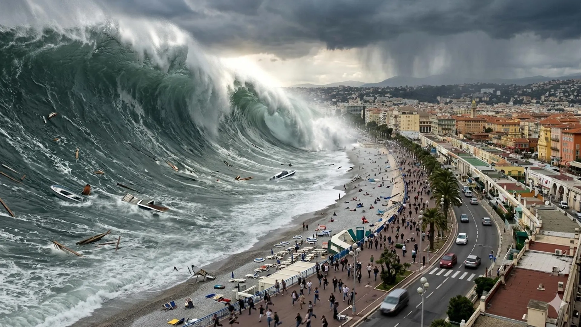
The Mediterranean may seem far removed from the world's major tsunami zones, but history and modern modeling show that destructive waves can strike the French Riviera with surprisingly little warning. Some tsunamis could reach shore in under 10 minutes, while past events have produced waves around two meters high, powerful currents, damage, and deaths. This is not a distant, hypothetical risk, it is a validated, measurable threat that demands integrated observation and calibrated response systems. Compare this to the fragmented tectonic processes we see off Vancouver Island, where scientists have captured a subduction zone in the act of tearing itself apart, as detailed in Cascadia’s Subduction Zone Reveals a Fragmented Tectonic Process. The Mediterranean's risk is different in origin but equally urgent in its demand for real-time ocean intelligence.
Our take is straightforward: the warning time of under ten minutes is the single most critical data point in this story. It transforms this from an academic modeling exercise into a practical, life-safety challenge. For coastal communities along the French Riviera, a tsunami arriving in that window means evacuation plans cannot rely on distant sirens or centralized alerts. They must be embedded in local infrastructure, supported by peer-reviewed hazard maps and calibrated sensor networks that can detect the initial seismic or landslide trigger and relay a signal before the wave arrives. The research also echoes a pattern we see in the Cascadia subduction zone and northern San Andreas fault, where evidence suggests sequential earthquake risk, ruptures that can happen in rapid succession, compounding the threat. In Cascadia and San Andreas: Evidence Suggests Sequential Earthquake Risk, scientists show that tectonic systems do not always behave in isolation. The Mediterranean, with its complex network of faults and submarine landslides, likely behaves similarly, meaning a single event could trigger a cascade of hazards.
What this means for our readers in practical terms is that the Mediterranean cannot be treated as a low-risk basin any longer. The empirical evidence from past events, waves around two meters high, powerful currents, damage, and deaths, is not a historical footnote. It is a longitudinal data point that validates the modeling. If you are a policymaker or urban planner in the region, your takeaway should be that tsunami risk assessment must be integrated into coastal development codes, public education campaigns, and emergency drill protocols. If you are a researcher, the open question is whether the current warning infrastructure, seismic networks, tide gauges, and buoy systems, can be calibrated to deliver actionable alerts within that ten-minute window. This is where an integrated data ecosystem becomes essential: linking real-time seismic data with oceanographic models and community alert systems.
We would tell any reader who asks about this story to focus on the gap between the science and the policy. The modeling is clear, and the historical precedent is documented. The question is whether the political will and investment will follow to build a warning system that matches the speed of the threat. The specific detail to watch is the adoption of local, community-based alert mechanisms, not just national or regional systems. A two-meter wave with powerful currents does not need a massive wall of water to be deadly; it needs a population that knows what to do in under ten minutes. That is the measure of whether the science translates into protection.