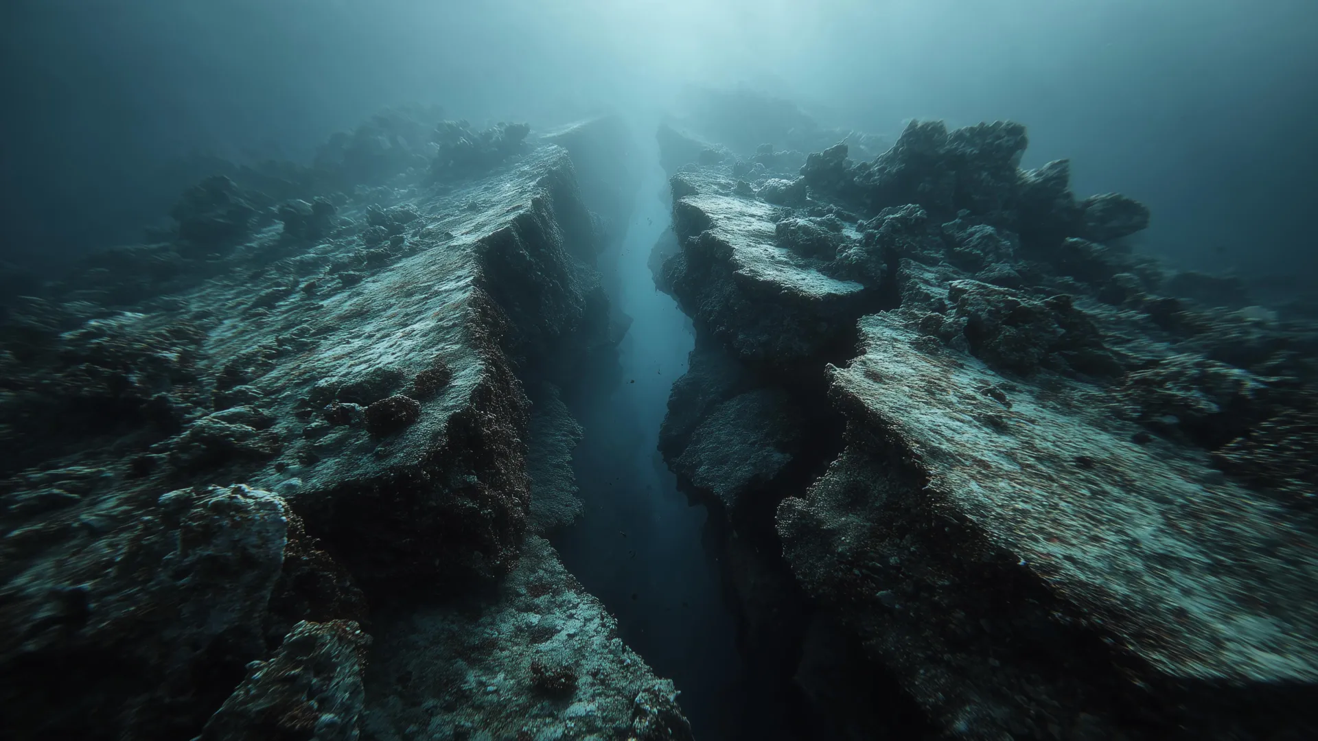
The recent discovery of a subduction zone actively fragmenting off the coast of Vancouver Island presents a significant shift in our understanding of these colossal geological structures. Traditionally, models have posited that subduction zones – where one tectonic plate slides beneath another – fail catastrophically and in their entirety, leading to massive earthquakes and volcanic eruptions. However, this new research, capturing a zone literally tearing itself apart, suggests a more nuanced and potentially gradual process of decay. This challenges existing tectonic models and highlights the complexity inherent within Earth’s dynamic systems. The implications extend beyond simply refining our theoretical understanding; it offers a potential framework for interpreting the existence of ancient plate fragments and localized volcanic activity, phenomena that have long puzzled geoscientists. Furthermore, our earlier analysis of the interconnected risks along the Cascadia and San Andreas faults Cascadia and San Andreas: Evidence Suggests Sequential Earthquake Risk underscores the importance of considering regional interactions within tectonic systems, and this fragmentation process adds another layer to that complexity. The findings are also relevant to understanding volcanic patterns; the study of Yellowstone's Eruption Sequence: Monitoring Volcanic Activity and Potential Impacts demonstrates the value of long-term monitoring of volcanic systems, a principle that should be extended to areas experiencing subduction zone fragmentation.
The significance of this discovery lies in its potential to improve seismic hazard assessments, particularly in regions like the Pacific Northwest. Identifying these hidden breaks and zones of weakness within a subduction zone allows for a more refined understanding of stress distribution and potential rupture pathways. Current models often treat subduction zones as monolithic entities; the realization that they can fragment introduces a critical variable. While predicting the precise timing and magnitude of earthquakes remains an elusive goal, a more detailed understanding of these internal processes—how they evolve and interact—is crucial for developing effective early warning systems and mitigation strategies. This work builds on a growing body of research highlighting the intricate, often unexpected, nature of Earth’s geological processes. Consider, for instance, the recent identification of an ancient impact crater in Quebec Ancient Impact Crater, 390 Million Years Old, Identified in Quebec; both discoveries underscore the power of observation and the importance of remaining open to challenging established paradigms.
The methodology employed in capturing this fragmentation is noteworthy. Utilizing advanced geophysical techniques, researchers were able to observe, in real-time, the breakdown of a previously assumed stable tectonic boundary. This demonstrates the increasing power of integrated data ecosystems to provide unprecedented insights into subsurface processes. The ability to combine seismic data, GPS measurements, and other forms of geodetic monitoring is essential for characterizing these complex systems. This research underscores the critical role of longitudinal data collection; observing these subtle changes over time, calibrating models against empirical evidence, and developing real-time monitoring capabilities are paramount for advancing our understanding. The integrated data ecosystem is becoming increasingly vital, allowing scientists to validate models and refine predictions with greater accuracy.
Looking ahead, a key question is how widespread is this fragmentation phenomenon? Is the Vancouver Island example a unique occurrence, or is it indicative of a more common process occurring within other subduction zones globally? Further research focused on identifying similar features in other regions, combined with advanced modeling techniques, will be crucial for assessing the broader implications for seismic hazard and volcanic risk. The development of sophisticated, real-time ocean intelligence platforms capable of continuously monitoring subduction zone activity will be essential for detecting and characterizing these hidden breaks, ultimately contributing to a more resilient and informed approach to managing geological risks.