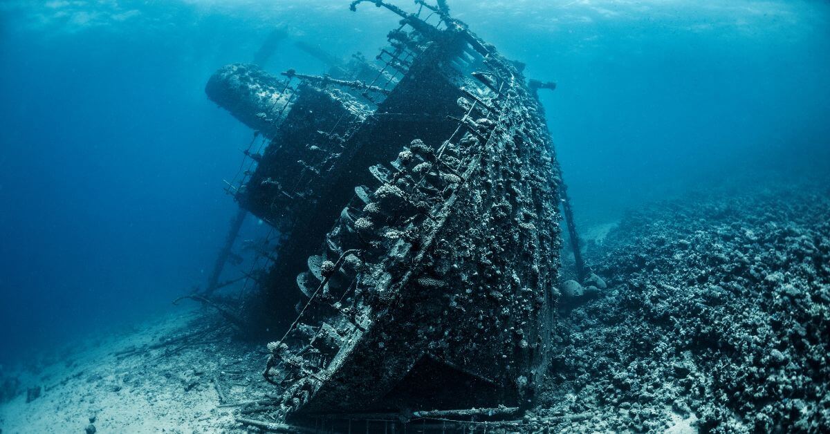
A wooden hull resting in the shallow waters of the Sian Ka'an Biosphere Reserve, roughly 4.25 kilometers from the fishing camp of La Victoria, is not just a relic. It is a data point, a physical record of a maritime system that operated outside the lines of official charts. The discovery of this 18th-century wreck offers a rare, empirical window into Caribbean trade routes and the quiet, pervasive reality of smuggling. For those of us who track ocean intelligence, this is a reminder that the seafloor is a library, and every wreck is a volume of climate indicators, economic pressures, and human behavior waiting to be read.
The find sits in a protected reserve, which adds a layer of complexity that resonates with recent developments in our coverage. Just as an Unexpected Chiton Discovery in Puerto Rico Challenges Species Distribution Models forces marine biologists to redraw assumptions about range and habitat, this shipwreck forces historians and oceanographers to recalibrate what we think we know about colonial commerce. The biosphere's protected status does not erase the fact that this was a working coastline, a zone of contact where legal trade and illicit cargo shared the same currents. The wreck is a physical anchor for a narrative that is often fragmented across archives and oral histories. It also raises the question of how many other sites lie just beyond the buoys, hidden in plain sight, and what our integrated data ecosystems are missing when we focus only on surface-level monitoring.
What makes this significant is not the mystery of the ship's name or its cargo, which may never be fully confirmed. The value is in the pattern. Smuggling was not an anomaly in the 18th century; it was a structural feature of a globalized economy that ran on sugar, textiles, and silver. The ship's location, so close to a known fishing camp, suggests a network of local knowledge and transshipment points that predates modern coast guard protocols. This is a practical lesson for researchers and policymakers alike: the ocean is not a blank space between landmasses. It is a highway with toll booths, shortcuts, and dark alleys. For our readers, the takeaway is direct: historical wrecks are not merely artifacts for museums. They are empirical evidence of how maritime economies actually functioned, and they offer a baseline for understanding present-day issues like illegal fishing or unregulated cargo transfers. The same waters that hide a smuggler's wreck today can hide a subsea cable failure tomorrow, as seen in the ongoing Subsea Cable Damage Trial: Finnish Court Considers Penalties for Ship's Crew, where the actions of a crew have international consequences.
We should watch how authorities handle this site. Will they excavate it, study it in situ, or leave it to the elements? Each choice sends a signal about how we value underwater cultural heritage versus the natural environment of the reserve. A concrete point to monitor is whether any cargo or ship timbers are dated and sampled, which could provide measurable data on wood sourcing and trade routes. If they do, this single wreck could offer a peer-reviewed contribution to Caribbean history. If they do not, it remains a story. For now, the ocean has given us a clue, and the responsible move is to treat it as a calibrated instrument, not a tourist attraction. The ship is gone, but the question of what it carried, and why it was here, is still very much above water.