Vancouver Island
Vancouver Island at World Data Ocean is a file of 2 stories. The newest of them: “Crowdsourcing coastal data to clarify forage fish spawning patterns” and “Cascadia’s Subduction Zone Reveals a Fragmented Tectonic Process”. The reddish colouring behind the gills of forage fish along Vancouver Island's east coast is a spawning indicator that can help differentiate species, but the visual overlap between herrings, smelts, and capelins makes… Off Vancouver Island, scientists have captured a subduction zone in the act of tearing itself apart. A Global Hub for Ocean Intelligence 4 World Data Ocean is a centralized digital platform where researchers, scientists, and ocean enthusiasts converge to… The list below is every Vancouver Island story on World Data Ocean, newest first.

Crowdsourcing coastal data to clarify forage fish spawning patterns
The reddish colouring behind the gills of forage fish along Vancouver Island's east coast is a spawning indicator that can help differentiate species, but the visual overlap between herrings, smelts, and capelins makes field identification a genuine challenge. Crowdsourcing this coastal data turns local observation into validated, measurable science. Understanding drives protection. For deeper context on the urgency of these efforts, see "The deep ocean holds more mystery than Mars."
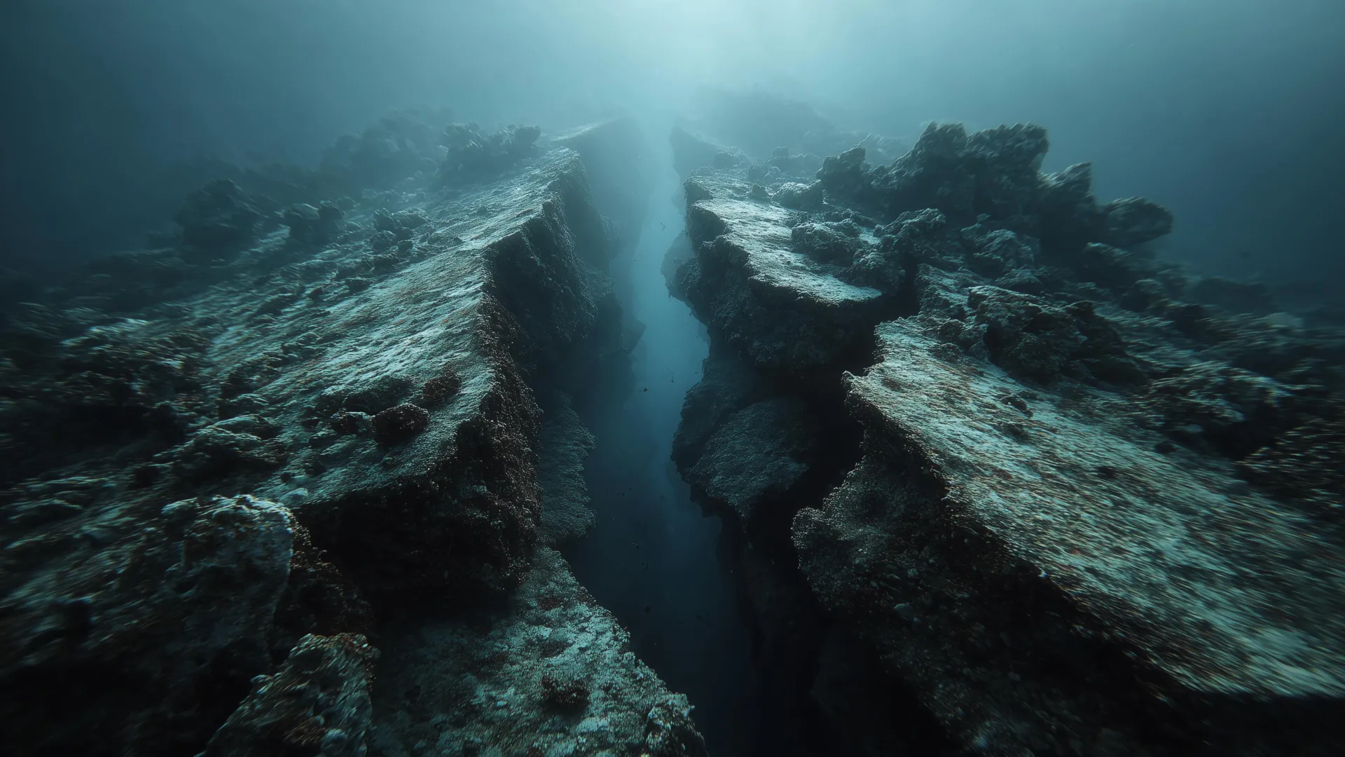
Cascadia’s Subduction Zone Reveals a Fragmented Tectonic Process
Off Vancouver Island, scientists have captured a subduction zone in the act of tearing itself apart. The Cascadia fault is not dying as a single, monolithic system. Instead, new evidence suggests it is fragmenting piece by piece. This process offers a rare window into how ancient plate fragments form and where hidden breaks might influence future seismic activity. Understanding this measured, piecemeal unraveling is key to refining our earthquake models.