ocean data
ocean data on World Data Ocean: a running collection of 376 stories we have gathered and hand-picked because they are worth your time. Every post here touches on ocean data in some way — the news, the analysis, the deep dives, and the occasional surprise find. A Global Hub for Ocean Intelligence 4 World Data Ocean is a centralized digital platform where researchers, scientists, and ocean enthusiasts converge to explore, analyze, and… New stories are added to this page as we find them, so check back if you want to keep up with what is happening around ocean data, or subscribe to the RSS feed to get them as soon as they are published. Browse the collection below, or head back to the homepage to see everything World Data Ocean is covering right now.

Navigating marine litter governance: loopholes and strategic recommendations for the EU policy framework
Marine litter represents a systemic challenge, deeply intertwined with production, consumption patterns, and waste management practices. The European Union has emerged as a leader in combatting this issue, implementing a comprehensive policy framework that prioritizes circular economy principles and zero pollution goals. However, significant gaps remain between policy intentions and effective implementation, revealing structural weaknesses and operational challenges. This paper offers a critical analysis of relevant EU and international policies, identifying loopholes and providing actionable recommendations for a cohesive approach to marine litter governance.
From local discovery to global insights: deep-sea amphipod diversity in a high-seas marine protected area and its conservation implications
The deep ocean, a realm rich in biodiversity yet poorly understood, faces significant threats from human activities. This study explores the diversity of benthic amphipods within the newly established North Atlantic Current and Evlanov Sea basin (NACES) high-seas marine protected area (MPA). Analyzing 253 amphipod cytochrome c oxidase subunit I sequences, the research reveals unexpectedly high local diversity, with many species likely new to science. These findings highlight the importance of conservation efforts in safeguarding these fragile ecosystems.

U.S. Imposes Fresh Sanctions On Iranian Oil Exports To China Ahead Of Trump-Xi Talks
The U.S. Treasury has announced new sanctions targeting Iranian oil exports to China, specifically aimed at three individuals and nine companies located in Hong Kong, the United Arab Emirates, and Oman. This move comes ahead of anticipated talks between former President Trump and Chinese President Xi, highlighting ongoing tensions in global energy markets.

Massive 2,400-Year-Old Ship Graveyard Discovered In Bay Of Gibraltar
A significant archaeological discovery has emerged in the Bay of Gibraltar, revealing a massive ship graveyard dating back 2,400 years. This site, primarily composed of shipwrecks resting on the seabed, offers invaluable insights into ancient maritime practices and trade routes. As researchers delve into this underwater archive, they uncover stories of the past that shape our understanding of historical navigation. For those interested in maritime security in contemporary waters, explore our article "Trump Considers Reviving ‘Project Freedom’ With Expanded Mission Beyond Strait Of Hormuz Escorts."
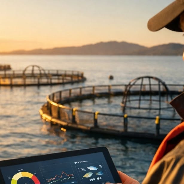
Empowering small-scale fisheries and aquaculture isn’t just about the tools: it’s about the intelligence behind them. At...
Empowering small-scale fisheries and aquaculture transcends mere tools; it hinges on the intelligence that informs their use. At World Data Ocean, we recognize that sustainability and productivity flourish when grounded in empirical data. Through Blue Ocean Data Solutions, we collaborate with small and medium enterprises to integrate real-time monitoring into their operations, providing instant insights into vital metrics like water quality and fish health. This approach not only enhances decision-making but also supports a resilient blue economy.

Rising Ship Traffic Off South Africa Due To Middle East Conflict Increases Risk To Whales, Scientists Say
Recent conflicts in the Middle East have led to a significant increase in ship traffic off the coast of South Africa, raising concerns about the potential risks to local whale populations. Following the hijacking of the British-owned vehicle carrier Galaxy Leader by Houthis near Yemen in November 2023, shipping routes have been rerouted, intensifying maritime activity in sensitive ecological areas. Scientists emphasize the urgency of monitoring this surge in traffic to mitigate its impact on whales and enhance ocean stewardship efforts in the region.

Armed Pirates Board And Hijack Another Dhow Off Somali Coast
Armed pirates have once again targeted a dhow off the Somali coast, marking a troubling resurgence in maritime piracy in the region. The European Union’s Operation ATALANTA is actively investigating the incident, collaborating with regional maritime security authorities and international partners to assess the situation. This ongoing effort underscores the importance of coordinated action in safeguarding maritime routes and ensuring the safety of seafarers. Continued vigilance and cooperation are essential to combat these threats and foster stability in the waters off Somalia.
From simple to sophisticated: characterization of new signals in the expanding vocal repertoire of the East Indian Ocean pygmy blue whale
This study explores the acoustic signaling of East Indian Ocean pygmy blue whales, revealing significant insights into their vocal repertoire. While blue whale communication has typically been associated with loud, low-frequency songs for mating, this research, utilizing a multidecadal dataset from acoustic recorders, identifies four previously undescribed signals. Notably, these signals exhibit patterned sequences similar to song, suggesting a greater complexity in their social communication and cognitive abilities than previously recognized. This work advances our understanding of blue whale social structures and their acoustic behavior.

U.S. Military Strike On Suspected Drug Boat In Eastern Pacific Kills 2, Leaves One Survivor
On May 8, a U.S. military operation led by General Francis L. Donovan resulted in the targeted strike on a suspected drug trafficking vessel in the Eastern Pacific. This action, part of the broader Joint Task Force Southern Spear operations, aimed to disrupt illegal drug activities that threaten regional stability and security. The engagement resulted in the deaths of two individuals on board, while one survivor was rescued. This operation underscores the commitment of U.S. forces to combat drug trafficking and uphold maritime law enforcement.
A coupled phosphorus and carbon cycling mediated by prokaryotic microbes in the deepest trench
In the depths of the Challenger Deep, this study investigates the paradox of high alkaline phosphatase activity (APA) in the presence of sufficient dissolved inorganic phosphorus (DIP). By analyzing dissolved organic phosphorus (DOP) and DIP alongside high-pressure incubation experiments, we reveal two regulatory regimes: extreme APA in phosphorus-depleted surface waters and sustained APA in carbon-limited deep waters.

Watch: Iranian Navy Seizes Oil Tanker In Gulf Of Oman As US Disables 2 Ships Near Hormuz
In a significant maritime incident, Iranian naval commandos have seized an oil tanker in the Gulf of Oman, characterizing the operation as a “special operation.” This development comes amid heightened tensions in the region, particularly as the U.S. disabled two vessels near the strategic Strait of Hormuz. The captured tanker has been escorted to Iran's southern coast, raising concerns about potential escalations in naval confrontations and the implications for global oil supply and maritime security.
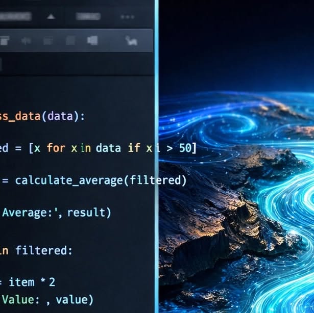
Ever feel like you’re drowning in raw data before you even get to the real research? 🌊 We know the struggle. That’s why...
Navigating the vast sea of raw data can feel overwhelming, but the Ocean Data Platform SDK is here to help you streamline your research process. Designed for efficiency, it allows you to filter and query data effectively, enabling you to focus on the insights that drive impactful ocean research. Coupled with our Python-based oceanography training, you will transform raw numbers into visual representations of ocean dynamics.
Western boundary current - driven shelf sea deoxygenation on the Agulhas bank
Dissolved oxygen is essential for healthy marine ecosystems and the economies that depend on them. However, global declines in dissolved oxygen, particularly in western boundary current systems, remain inadequately understood. This study presents novel data from autonomous ocean gliders on the eastern Agulhas Bank, which reveal a two-stage mechanism driving deoxygenation. Cold, nutrient-rich South Indian Central Water enriches the shelf, while wind-driven upwelling exacerbates oxygen depletion through increased primary production.

Spain Intercepts Record 40-Tonne Cocaine Shipment From Vessel In Atlantic Waters, Arrests 20 Crew
Spanish authorities have successfully intercepted a record-breaking 40-tonne cocaine shipment from a vessel in the Atlantic Ocean, marking the largest drug seizure in the country's history. The operation resulted in the arrest of 20 crew members, highlighting the ongoing challenges in combating drug trafficking in international waters. This significant seizure underscores the importance of coordinated efforts in maritime security and the need for integrated intelligence to address the complex issues surrounding drug smuggling.

Indonesia Says Iranian Oil Tankers Have Legal Right To Pass Through Lombok Strait Under International Law
Indonesia has affirmed that Iranian oil tankers possess the legal right to navigate the Lombok Strait, a vital maritime passage located east of Bali. This statement comes in response to reports regarding the transit of Iranian-flagged vessels through the strait, highlighting Indonesia's commitment to upholding international maritime law. The Lombok Strait serves as a crucial link for global shipping routes, underscoring the importance of collaborative governance in maritime navigation and the necessity of maintaining open and lawful passage for all vessels.

Watch: Fire Breaks Out On South Korean Ship Carrying 24 Crew After Explosion In Strait Of Hormuz
A fire has erupted on a South Korean ship carrying 24 crew members following an explosion in the Strait of Hormuz. According to South Korea’s foreign ministry, the incident occurred while the vessel was anchored near the waters off the United Arab Emirates. Authorities are currently assessing the situation, and efforts are underway to ensure the safety of the crew and manage the fire. This incident raises concerns about maritime safety and the implications for regional security in a vital shipping corridor.
Establishment of the East Sea (Japan Sea) Time-series station: an integrated physical–biogeochemical observatory for a climate-sensitive marginal sea
The establishment of the East Sea Time-series (EaST) station in the Ulleung Basin marks a significant advancement in monitoring climate-sensitive marginal seas. Scheduled to begin routine seasonal operations in February 2026, EaST will provide crucial insights into ocean–climate interactions through systematic measurements of hydrographic, chemical, and biological parameters. This integrated observatory will follow international standards, ensuring high-quality data dissemination via the Korea Oceanographic Data Center (KODC). By creating a long-term physical–biogeochemical baseline, EaST will enhance our understanding of climate-driven changes in the East Sea

Armed Men Hijack Oil Tanker EUREKA Off Yemen, Divert Vessel Toward Somali Waters
Armed men have hijacked the oil tanker EUREKA off the coast of Yemen, diverting the vessel toward Somali waters. This incident raises significant concerns regarding maritime security in the region. Efforts are currently underway to recover the tanker and ensure the safety of the crew onboard. However, details regarding the number of crew members have not yet been disclosed. The situation highlights ongoing challenges in safeguarding international shipping routes and underscores the urgency of collaborative strategies to address maritime threats.

NASA's Surface Water and Ocean Topography (SWOT) Mission Data Release - NASA Earthdata (.gov)
The NASA Surface Water and Ocean Topography (SWOT) Mission Data Release represents a significant advancement in our understanding of Earth's water bodies. By utilizing cutting-edge satellite technology, SWOT provides high-resolution measurements of surface water and ocean topography, enabling researchers to monitor changes in water levels and currents with unprecedented accuracy. This data will enhance our ability to address critical challenges such as climate change, water resource management, and natural disaster response.
New report: How liberating ocean data will equip companies avoid illegally caught seafood in their supply chains - The World Economic Forum
The World Economic Forum has released a pivotal report detailing how the liberation of ocean data can empower companies to eliminate illegally caught seafood from their supply chains. By harnessing validated and real-time ocean intelligence, businesses can make informed decisions that uphold sustainability and compliance. This comprehensive analysis highlights the importance of transparency and collaboration in addressing illegal fishing practices, showcasing how integrated data ecosystems can lead to significant improvements in ocean stewardship and responsible sourcing.
The ECCO‐Darwin Data‐Assimilative Global Ocean Biogeochemistry Model: Estimates of Seasonal to Multidecadal Surface Ocean pCO2 and Air‐Sea CO2 Flux - AGU Publications
The ECCO-Darwin Data-Assimilative Global Ocean Biogeochemistry Model represents a significant advancement in understanding oceanic carbon dynamics. This model provides validated estimates of seasonal to multidecadal variations in surface ocean pCO2 and air-sea CO2 fluxes. By integrating real-time ocean data, it enhances our ability to assess and predict the impact of climate change on marine ecosystems. The findings contribute to a deeper understanding of carbon cycles and underscore the importance of informed stewardship of ocean health in the face of global environmental challenges.
Surface plastic particles across the world's oceans - Our World in Data
Surface plastic particles represent a significant environmental concern in the world's oceans, impacting marine ecosystems and human health. According to data compiled by Our World in Data, these particles are prevalent across various oceanic regions, highlighting the urgent need for comprehensive monitoring and innovative solutions. By understanding the distribution and concentration of surface plastics, stakeholders can better assess their impact and enhance global collaboration in ocean stewardship.

At Least 44 Iranian Seafarers Dead, 29 Injured In U.S.-Israel War On Iran, Union Files Complaint To IMO
At least 44 Iranian seafarers have lost their lives, with 29 others injured amid escalating tensions in the U.S.-Israel conflict over Iran, according to Saman Rezaei, general secretary of the Iranian Merchant Mariners Syndicate. The fatalities occurred between February 28 and April 1, highlighting the grave impact of geopolitical strife on maritime personnel.
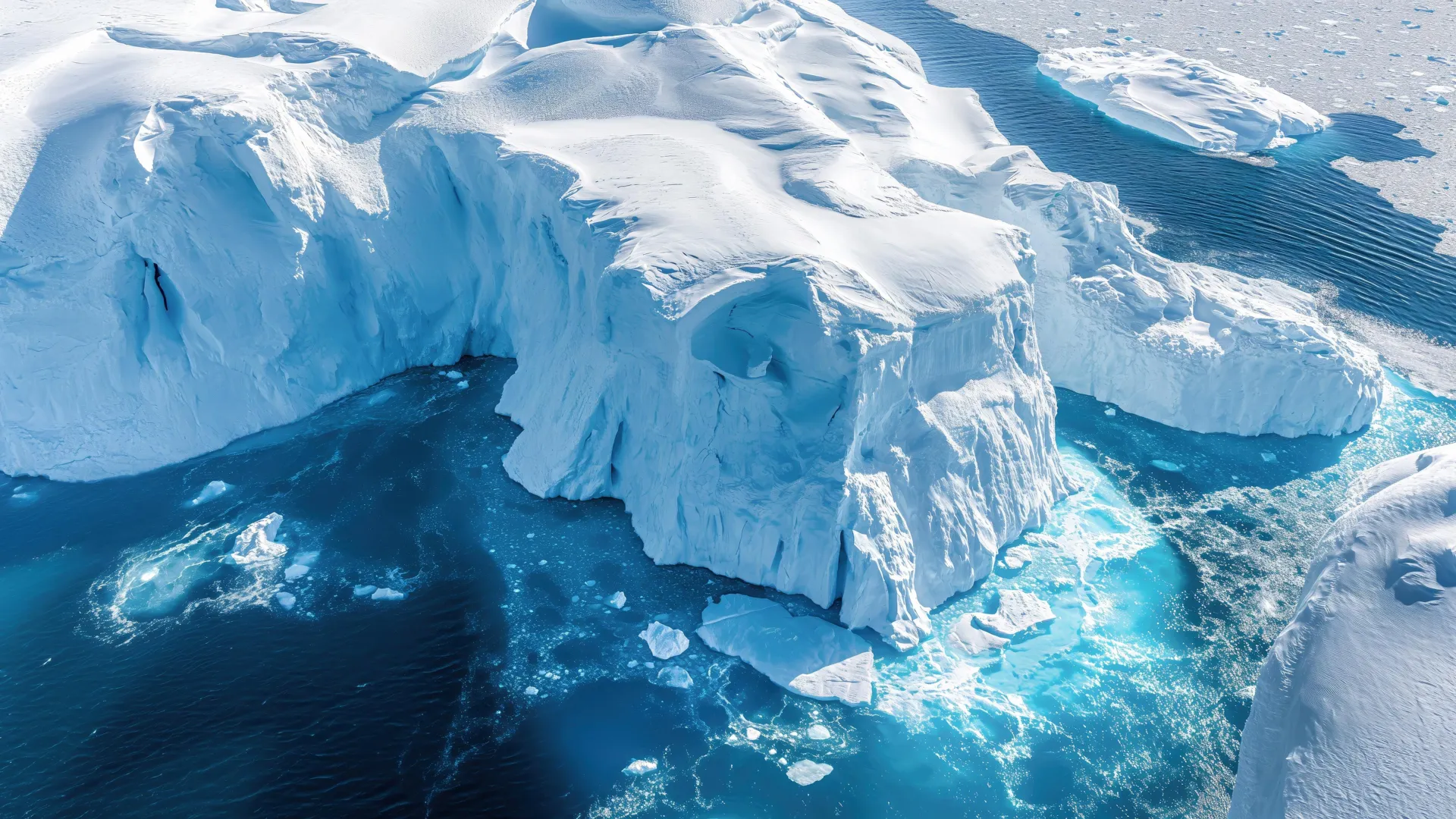
Hidden ocean heat is creeping toward Antarctica’s fragile ice shelves
Deep beneath the Southern Ocean, a significant shift is occurring as warm water gradually approaches Antarctica's delicate ice shelves. For the first time, researchers have clearly observed this concerning trend by integrating decades of ship data, robotic float measurements, and advanced machine learning techniques. Their findings reveal that a massive pool of heat, known as circumpolar deep water, has expanded and advanced toward the continent over the past two decades.