currents
11 stories filed under currents on World Data Ocean. The newest of them: “Global Drifter Network Delivers Real-Time Ocean Data to Sharpen Forecasts and Coastal Safety”, “An Atlantic water mass reveals its global circulation pathway”, and “Recovery Efforts Underway for Capsized Indonesian Ferry, 129 Still Missing”. Every twelve hours, a network of thousands of drifting buoys reports ocean temperature, currents, and barometric pressure from the most remote waters on Earth. A single Atlantic water mass now reveals its global circulation pathway, the "Grand Tour" it takes around the world. A Global Hub for Ocean Intelligence 4 World Data Ocean is a centralized digital platform where researchers, scientists, and ocean enthusiasts converge to… The list below is every currents story on World Data Ocean, newest first.
Global Drifter Network Delivers Real-Time Ocean Data to Sharpen Forecasts and Coastal Safety
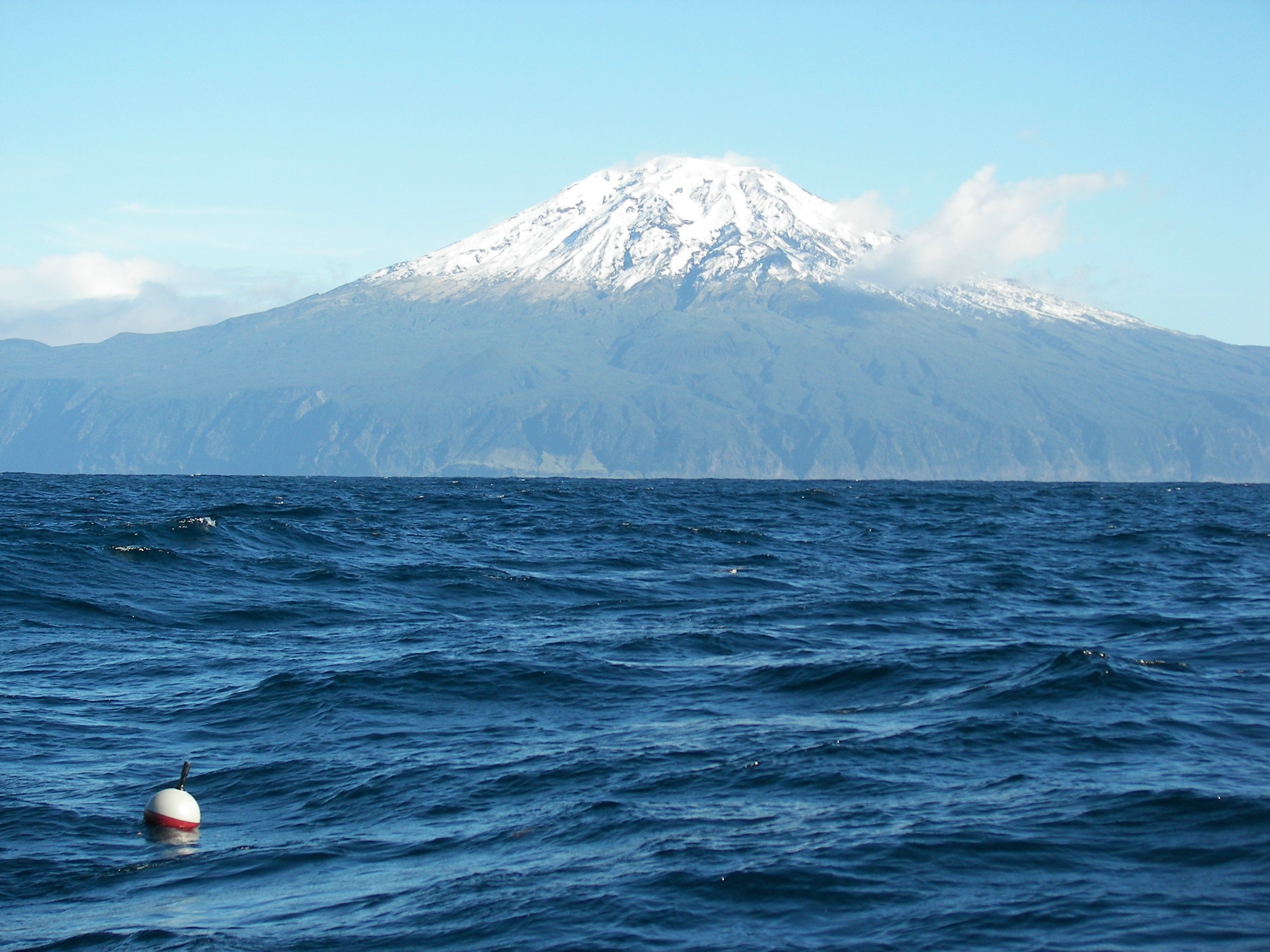
Every twelve hours, a network of thousands of drifting buoys reports ocean temperature, currents, and barometric pressure from the most remote waters on Earth. NOAA's Global Drifter Program turns that distributed data into a single, calibrated view of the planet's climate system. These instruments verify weather models, sharpen satellite observations, and reveal inter-annual signals like ENSO. Understanding drives protection. For a deeper look at how shared ocean data standards support such systems, see our coverage of integrating fragmented bathymetric data.

An Atlantic water mass reveals its global circulation pathway
A single Atlantic water mass now reveals its global circulation pathway, the "Grand Tour" it takes around the world. Scripps Institution of Oceanography maps this journey with empirical precision, showing how a current that begins near the Azores becomes a measurable, real-time climate indicator across hemispheres. Understanding drives protection. For deeper context on how we validate such ocean intelligence, see our coverage of the calibrated global salinity dataset.
Recovery Efforts Underway for Capsized Indonesian Ferry, 129 Still Missing
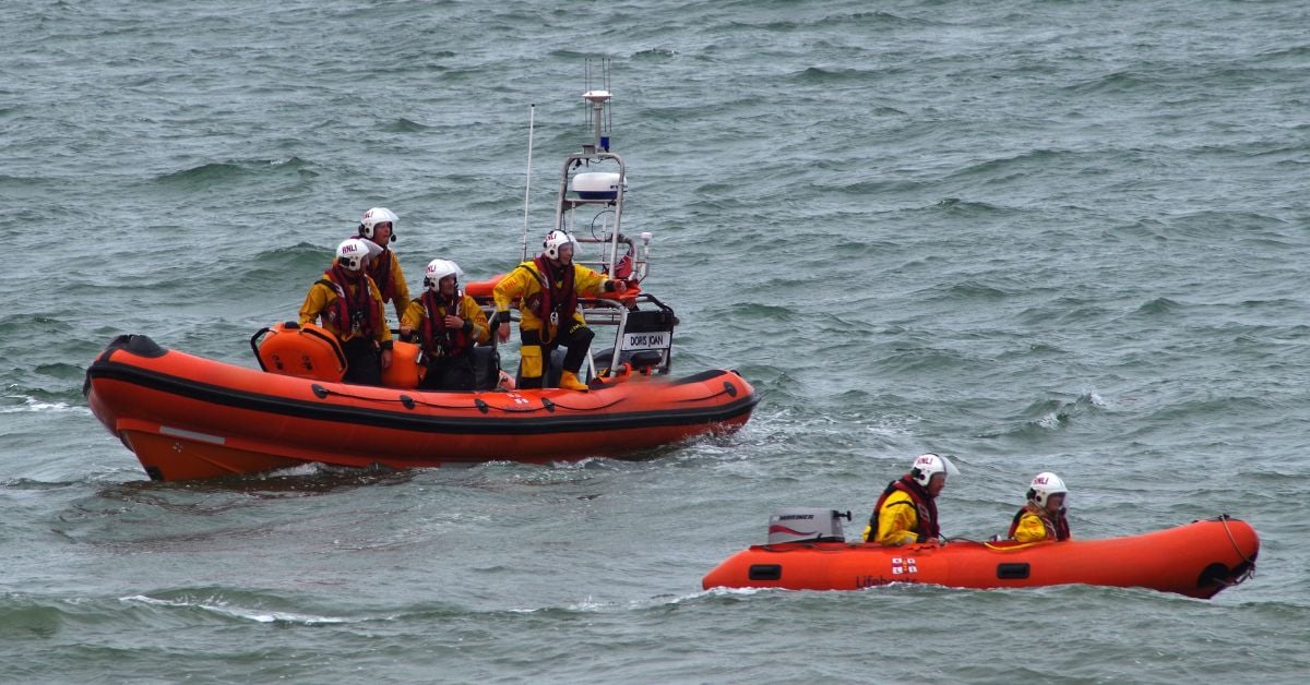
The Java Sea recovery operation is now moving with deliberate precision as authorities prepare to right the capsized ferry, a necessary step in accounting for the 129 still missing. Six lives have been lost, and each hour matters. The operation demands the same empirical rigor we apply to any maritime investigation: calibrated, methodical, and transparent. This is not a spectacle; it is a responsibility.
Mediterranean Tsunami Risk: Modeling Reveals Urgent Threat and Limited Warning.
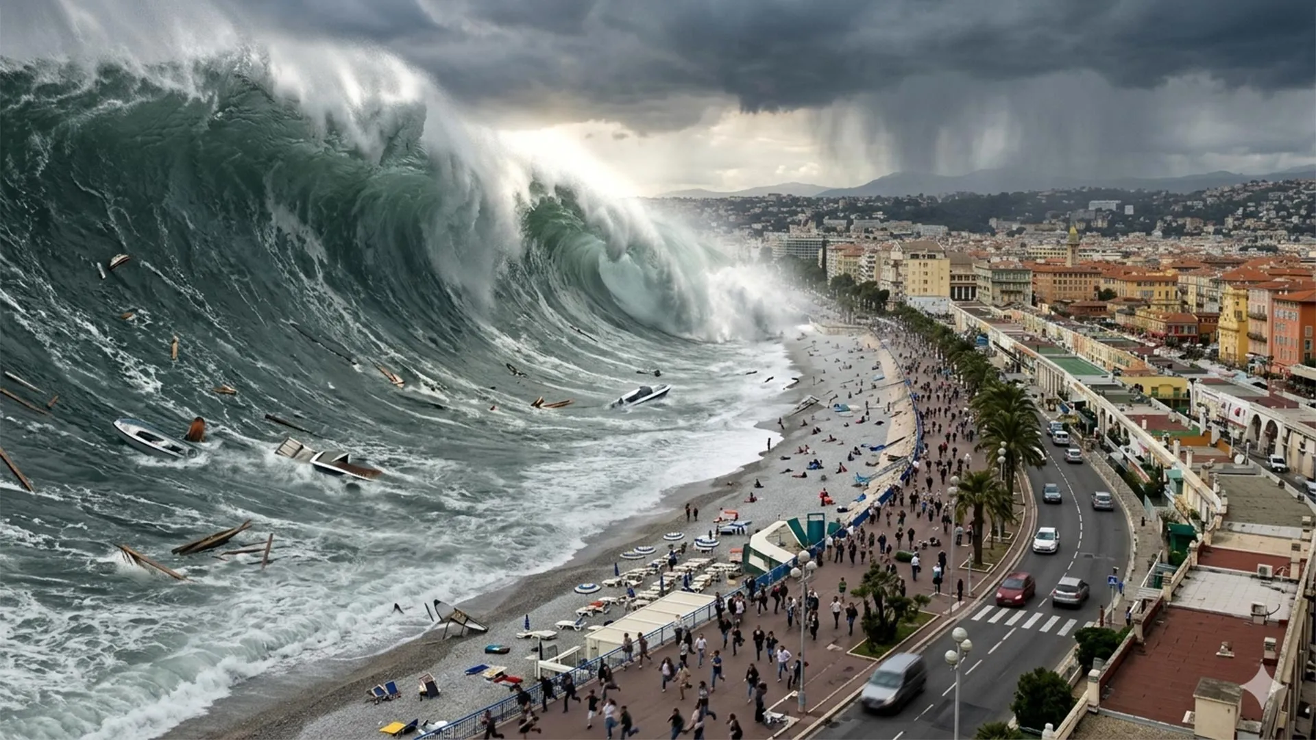
A two-meter wave in under ten minutes. That is the reality of tsunami risk along the French Riviera, a region more associated with calm coasts than sudden catastrophe. History and modern modeling confirm that destructive waves can strike with almost no warning. This is not alarmism, it is a measured, empirical call for preparedness. The threat is urgent and measurable. For a deeper look at regional security dynamics, readers may explore our related coverage of Russian maritime activities in the Mediterranean.
Tugboat Sinking Near Busan: Search Underway for Six Missing Crew.
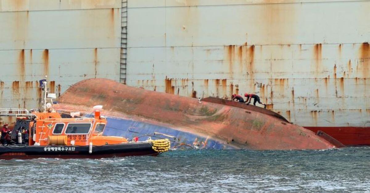
A 286-tonne tugboat capsized and sank east of Oryukdo Island, leaving six crew members missing. The TNS Catcher went down at roughly 1:29 p.m., fully disappearing beneath the surface by 3:27 p.m. Search operations are underway, and every minute matters in these waters. Maritime emergencies like this remind us how quickly conditions can turn. For broader context on recent incidents, our coverage of the cargo ship fire near Mykonos offers a similar case of rapid response.

Atlantic Current Weakening: Empirical Data Reveals Accelerated Change.
The Atlantic Meridional Overturning Circulation is losing its grip, and the empirical record is unambiguous. New studies confirm this vital current system is weakening faster than projected, edging closer to a threshold that would redraw global climate patterns. This is not speculation; it is calibrated, peer-reviewed observation. We treat the data with the gravity it demands, because the measured shift is a direct signal of our collective impact.
Real-Time Data from The Ocean Race Illuminates Gulf Stream Changes
The Gulf Stream is slowing, and now the sailors racing through it are helping to measure exactly how. Competitors in The Ocean Race Atlantic will collect climate data from these weakening currents, turning a grueling contest into a live oceanographic survey. This is the kind of integrated, real-time observation we need most. It is empirical, immediate, and driven by people already at the mercy of the sea.
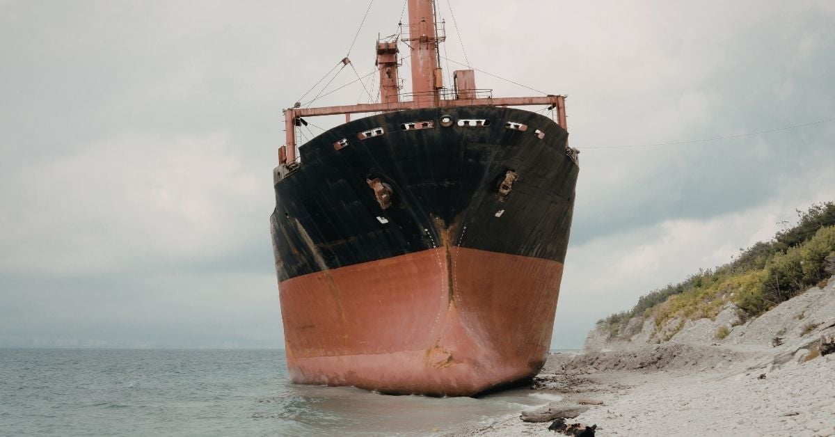
Damaged Cargo Ship, Linked to Russia, Grounds Near Istanbul
A Russian-flagged cargo ship has run aground on Alacalı Beach near Istanbul, grounding in Turkish waters. The incident adds another layer to the region's already complex maritime traffic, where every disruption carries weight. We've seen similar challenges recently, including the bulk carrier freed near Gladstone, Australia, after six days. Each grounding reminds us that navigation remains a test of precision, not just technology. Vessels push through crowded corridors daily; this one met the shore instead. The incident warrants close attention as assessments begin.
Wadden Island Tides: Unraveling Complex Dynamics with Modern Tools
A neap tide on the open North Sea, yet a regular tide on the Wadden Sea side of the same island: that contrast is exactly the kind of puzzle that rewards patient observation. The app isn't necessarily wrong; it's revealing how shallow basins and narrow inlets dampen the lunar forcing that drives spring-neap cycles offshore. The mainland harbour data confirms it: this is real hydrodynamics, not a glitch. Understanding drives protection, and tools like this make that clearer.

Loss of Steering Preceded Container Ship Grounding in India
A loss of steering preceded the grounding of a container ship in India, with a local official noting that steering gear can occasionally jam when a vessel attempts to recover from a turn. The incident underscores how mechanical precision remains critical in confined waters, where recovery margins are slim. Reliable steering is not a given; it is a safety prerequisite. For broader context on maritime risks, our related coverage on the Gulf of Oman STS transfers offers useful perspective on regional operational pressures.
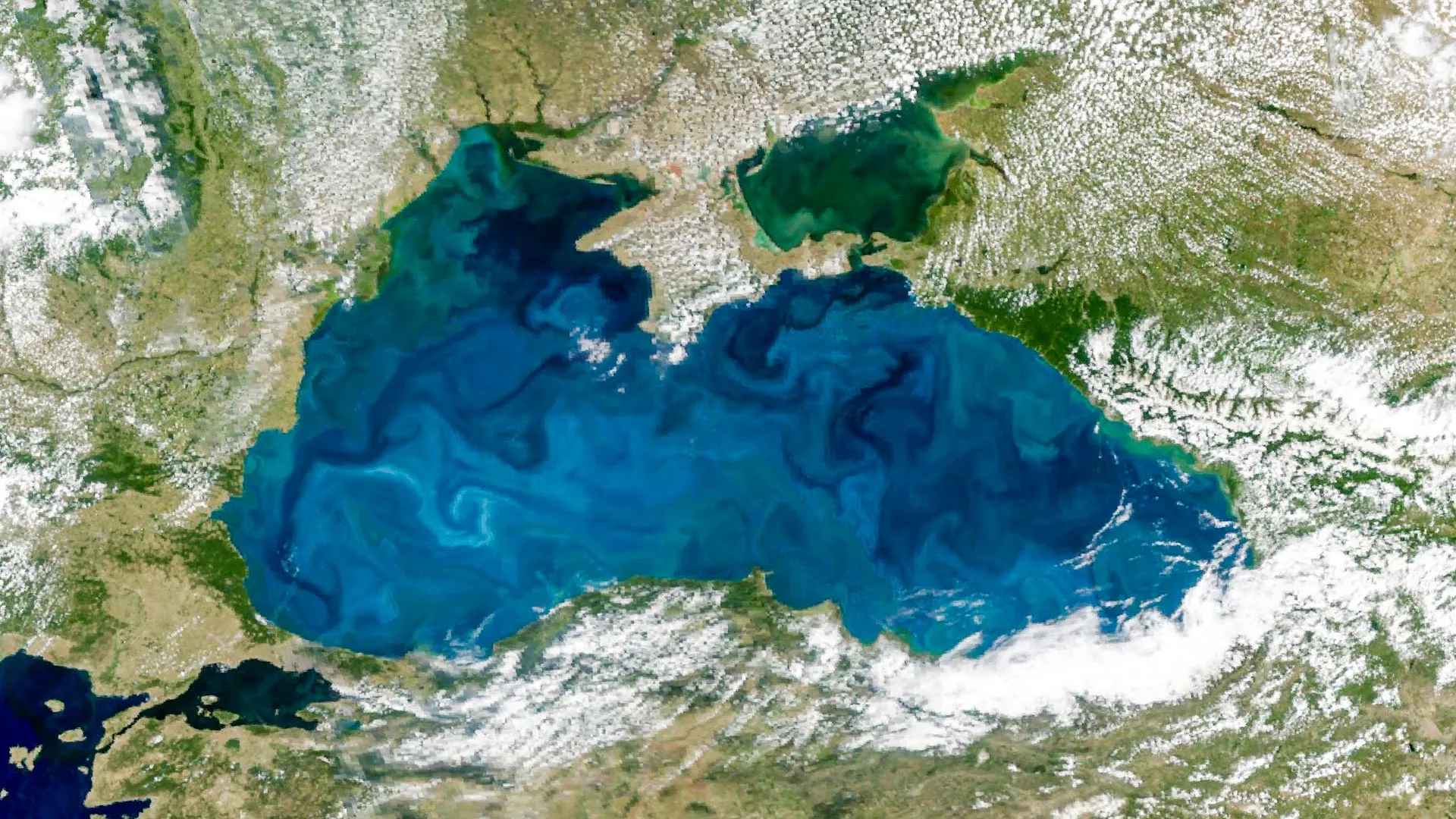
Black Sea Bloom: Satellite Data Reveals Turquoise Waters from Space
From orbit, the Black Sea has turned turquoise. NASA's PACE satellite captured the annual phytoplankton bloom, its reflective coccolithophore shells brightening the water enough to be seen from space. An astronaut on the International Space Station also photographed the bloom threading through the Bosphorus, where swirling currents reveal its reach. It is a striking reminder that ocean intelligence begins with observation, and that such calibrated data is essential for tracking the health of our shared seas.