Maritime Safety Data Hub To Analyse Over 100,000 Safety Broadcasts To Predict & Prevent Emergencies At Sea
Our take

The recent announcement of Inmarsat’s Maritime Safety Data Hub, analyzing over 106,000 safety broadcasts, underscores a critical evolution in maritime risk management. This initiative moves beyond reactive responses to incidents, embracing a proactive, data-driven approach to prediction and prevention. The identification of weather as the leading factor in urgent maritime warnings, while perhaps not surprising, validates the increasing importance of integrating sophisticated meteorological data into operational decision-making. This aligns with broader trends in utilizing integrated data ecosystems to enhance situational awareness and mitigate risk, mirroring developments seen in other sectors. Consider, for instance, the significant investment in naval modernization, like [Sweden Signs $5 Billion Deal To Acquire Four Modern French Frigates], which highlights a growing focus on advanced sensor capabilities and operational resilience in challenging environments. Furthermore, the complexities surrounding maritime trade and security, as exemplified by events such as [Iran Seizes Bulk Carrier After Alleged Oil And Sludge Discharge In Strait Of Hormuz], demonstrate the need for enhanced predictive capabilities to address a diverse range of potential hazards.
The sheer volume of data being processed—over 100,000 broadcasts—is itself a testament to the escalating operational intensity of global shipping. The Hub’s ability to identify patterns and predict potential emergencies represents a significant leap forward in ocean intelligence. Traditionally, maritime safety has relied heavily on human interpretation of broadcast messages and historical incident data. This new approach leverages the power of machine learning and advanced analytics to extract actionable insights from raw data, offering a more nuanced and timely understanding of evolving risks. This is particularly relevant given the increasing size and complexity of modern vessels, as evidenced by the recent disruptions impacting major shipping lanes, including incidents involving the MSC Ulsan III, as detailed in [World’s Largest Shipping Firm Suspends Russian Port of Novorossiysk’s Bookings After Ship Attack]. The ability to anticipate and prevent incidents, rather than merely responding to them, has the potential to significantly reduce human and environmental costs.
The real-time and longitudinal analysis capabilities of the Hub are particularly noteworthy. Longitudinal data, tracked over extended periods, allows for the identification of subtle trends and anomalies that might otherwise be missed. This can lead to the development of more accurate predictive models and the implementation of targeted preventative measures. The integration of various data streams – weather patterns, vessel traffic, historical incident data, and potentially even sensor data from vessels themselves – creates a holistic picture of maritime risk. This integrated approach is crucial for addressing the multifaceted nature of maritime safety, which is influenced by both natural and human factors. The emphasis on peer-reviewed methodologies and validated data sources further strengthens the credibility of the Hub’s findings and ensures that its recommendations are grounded in sound scientific principles.
Looking ahead, the success of the Maritime Safety Data Hub will depend on its ability to seamlessly integrate with existing maritime operational systems and to foster collaboration between stakeholders across the industry. The potential for expanding the Hub’s scope to incorporate additional data sources, such as satellite imagery and oceanographic data, is also considerable. A key question remains: how can we ensure that the insights generated by such platforms are effectively disseminated to and acted upon by the diverse range of actors involved in maritime operations, from individual vessel crews to port authorities and national regulators? The effective translation of data into actionable intelligence will be paramount in realizing the full potential of this innovative approach to maritime safety.
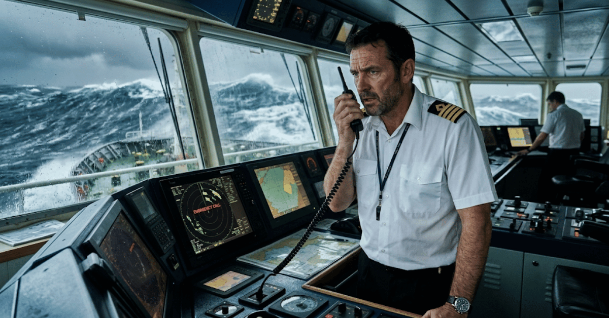
Inmarsat Maritime, a Viasat company, has launched a new Maritime Safety Data Hub, providing the maritime industry with unique insights as well as direct access to the comprehensive analysis of risks shaping global shipping.
Drawing on a unique dataset combining three years of Global Maritime Distress and Safety System (GMDSS) data with an industry-first analysis of 106,975 maritime safety broadcasts transmitted in 2025, the new platform offers unprecedented visibility into the conditions influencing maritime risk. It moves beyond reporting individual incidents to identify patterns, trends, and the evolving impact of environmental hazards, operational pressures, and
geopolitical instability on safety at sea.
Analysis of the 106,975 maritime safety broadcasts found that weather accounted for 84.6% of all urgent messages, with storms representing 75% of identified weather hazards. By linking safety broadcasts to GMDSS distress calls, the study identified several instances where distress calls came from areas where a weather warning had been delivered. This highlights the importance of safety broadcasts in helping vessels anticipate weather hazards and thereby avoid needing to make distress calls.
Inmarsat’s findings, carried out in partnership with the data analysts at supply chain consultancy SeaFocus, are particularly significant as shipping faces increasing exposure to extreme weather, longer voyages, evolving trade routes, and growing operational complexity. While weather warnings cannot be interpreted as the cause of maritime incidents, the analysis demonstrates a clear temporal relationship between meteorological hazards and periods of elevated operational risk.
John Dodd, Director of Maritime Safety, Inmarsat Maritime, commented: “By bringing weather information together with distress data, the Inmarsat Maritime Safety Data Hub introduces a powerful new layer of maritime intelligence. The unique insights made available through this research will help the industry better understand the factors shaping maritime safety – and move from simply reacting to incidents to exploring the conditions, patterns, and emerging risks that surround them.
“The value of maritime safety information lies in giving ships and shipping operators the time to make informed decisions. Whether the threat is extreme weather or geopolitical instability, early awareness enables crews to take action that protects lives, vessels, and cargo.”
Inmarsat received a similar number of GMDSS calls in 2025 (741) as in 2023 (788) and 2024 (801), with the three-year trend remaining broadly consistent with historical averages. Each of these GMDSS calls has a direct link to maritime safety and lives at sea, hence reiterating the importance of safety services.
In 2025, continued disruption in the Red Sea, sanctions affecting global tanker operations, and heightened tensions around the Persian Gulf and Black Sea altered traditional shipping routes and increased operational complexity. Electronic interference also emerged as a significant threat to commercial
shipping, as GPS spoofing, signal jamming, and other navigational disruptions increased in strategically important trade corridors – particularly in the
Middle East.
As in the previous two years, tankers made the highest number of GMDSS calls (203) – almost twice as many as bulk carriers in second place (105). Alongside traditional concerns such as weather, machinery failure, and navigational incidents, the tanker segment faced an evolving threat landscape characterised by sanctions regimes, electronic interference, and the rise of shadow fleets operating outside of established regulatory frameworks.
Container ships, responsible for the fifth-highest number of distress calls among vessel types (54), were also subject to GPS spoofing. In addition, to avoid the risk of physical attacks in the Red Sea, major operators diverted their vessels around the Cape of Good Hope, adding up to two weeks to voyages and thereby increasing fuel consumption, crew workload, and vessel exposure.
The interactive Maritime Safety Hub puts all this intelligence directly into the hands of industry stakeholders. Users can explore trends; investigate the factors shaping maritime safety; filter data by vessel type, region, and incident category; and download the insights most relevant to them.
Access the Inmarsat Maritime Safety Data Hub here.
Read on the original site
Open the publisher's page for the full experience