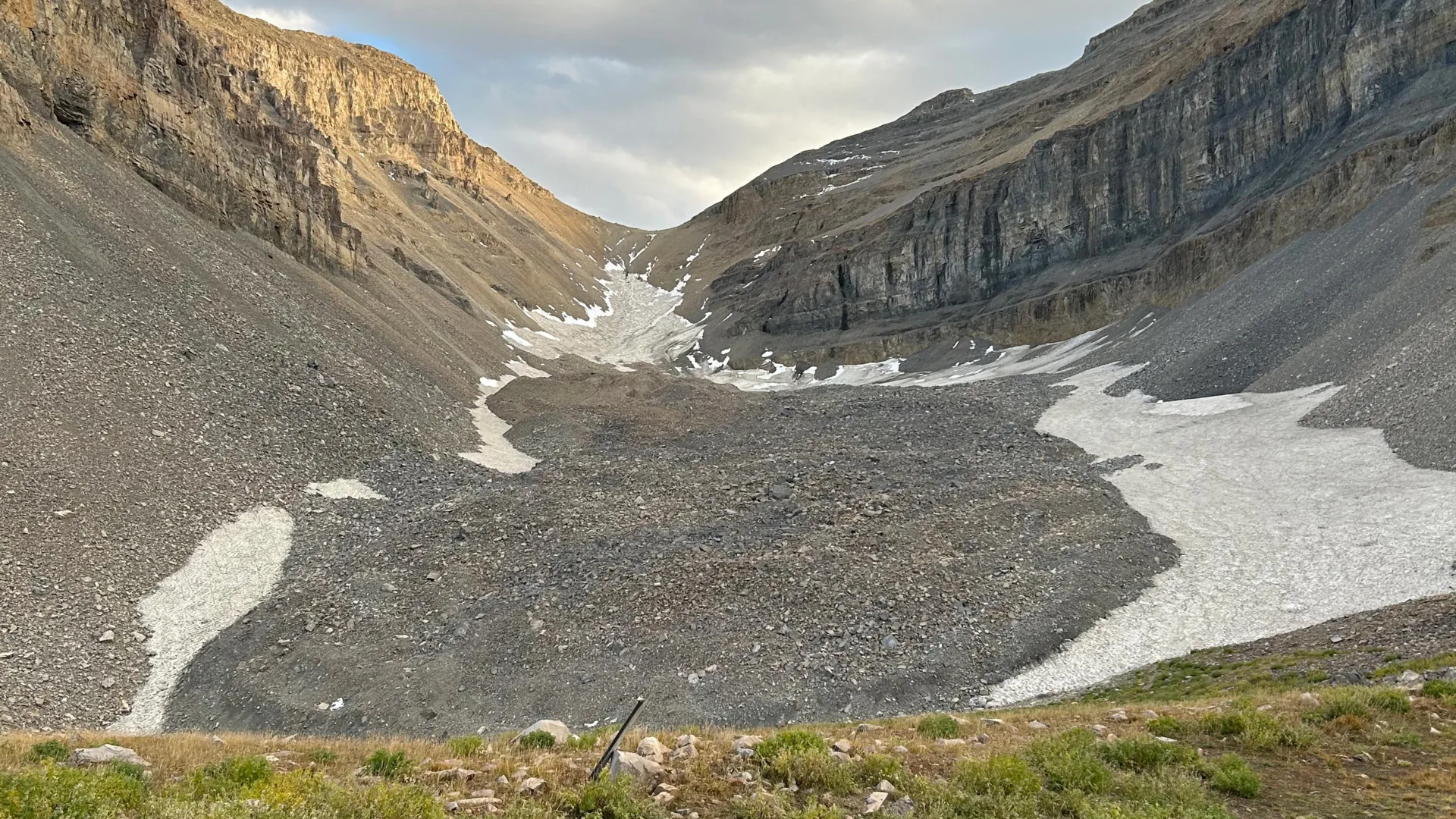
The discovery beneath Mount Timpanogos is a reminder that we are still mapping the basic inventory of our own planet. Using gravity measurements to reveal a buried glacier that is roughly 83% ice, with a volume equivalent to 600 Olympic swimming pools, the researchers have given us a concrete number for something we could not see. That is the quiet power of empirical observation: it turns a hunch about a rocky slope into a measurable, validated fact. The finding that rock glaciers form when falling debris buries persistent snow and preserves it for millennia is not just a local curiosity. It reframes how we think about water storage in arid regions, where the difference between a wet season and a dry year may depend on reservoirs we cannot see from the surface.
This study sits alongside other recent work that challenges simple narratives about the Earth system. In the Pacific Northwest, scientists have observed the Cascadia subduction zone tearing itself apart in a fragmented process, complicating our models of seismic risk. Off the coast of China, storm surge costs are proving to be more economically complex than a simple damage total, interacting with local infrastructure and adaptation choices. And in the Atlantic, weakening circulation is reshaping climate predictions on a hemispheric scale. What connects these stories is that they all rely on better measurement and integrated data ecosystems to reveal processes that were previously hidden or oversimplified. The Timpanogos glacier is the same: a buried feature that only became legible when we applied the right tool.
For our readers, the practical takeaway is not that you should worry about a specific mountain in Utah. The broader implication is that our freshwater budgets are likely incomplete. If rock glaciers around the world collectively store tens of gigatons of hidden water, then any model of water availability that ignores them is working with a partial dataset. This matters for policymakers, water managers, and researchers who plan for drought and supply. We would tell a reader who asks about this finding: treat it as a calibration point, not a novelty. The method matters as much as the result. Gravity-based mapping is a technique that can be deployed in other mountain ranges, and it should be, because the cost of not knowing what is stored in these formations is a blind spot in our climate indicators.
The open question to watch is whether these buried glaciers respond to warming the way exposed ice does. If they persist because they are insulated by debris, they may act as slow-release reservoirs for decades longer than surface ice. If not, they represent a ticking time bomb of meltwater that has not been accounted for in regional projections. That is the detail worth monitoring: not the spectacle of a hidden lake, but the temporal behavior of a system we have only just begun to measure. We would advise readers to watch for follow-up studies that pair these gravity measurements with ice-penetrating radar or borehole temperature data. That is where the next piece of clarity will come from, and it cannot come soon enough.