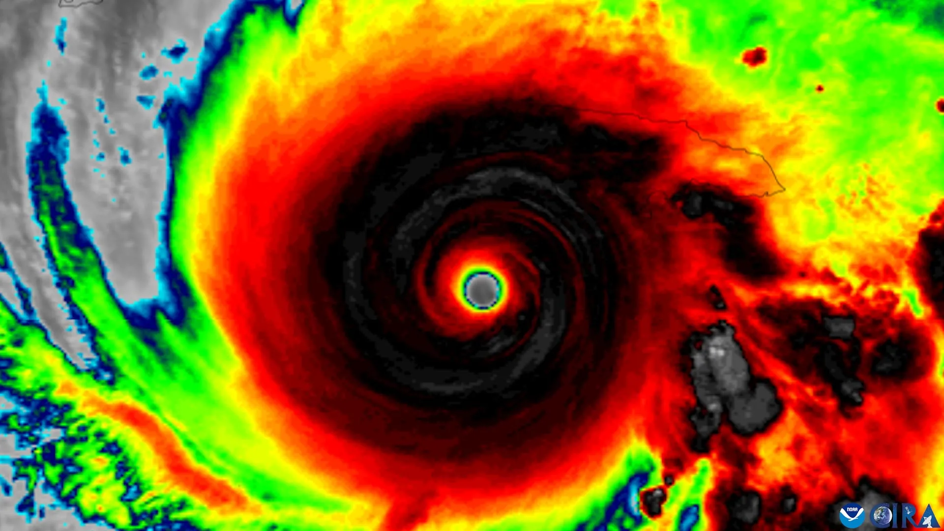
Nearly three decades of Hurricane Hunter data have given forecasters something they have long lacked: a measurable early signal that a tilted tropical cyclone is about to get its act together. The finding, which identifies four structural features that help a storm straighten its circulation and become capable of rapid intensification, is not just another incremental step in atmospheric science. It is a practical tool for buying time, and time is what saves lives. In an era when we can track ocean currents and atmospheric pressure with increasing precision, this kind of empirical, peer-reviewed insight is exactly the sort of ocean intelligence that turns raw data into decisive action.
The implications here extend far beyond the storm itself. For a reader who tracks our coverage, this connects directly to the broader story of how integrated data ecosystems are reshaping our understanding of the planet. Consider the work being done on Integrated Subsea Cables Enhance Data Transmission Across the Indian Ocean, where 99 percent of the world's data flows beneath the sea. That infrastructure is not just about connectivity; it is about making real-time observation possible. Similarly, the Atlantic Circulation Weakens: Global Climate Reshaping Predicted shows how long-term observational evidence is changing what we thought we knew about climate systems. The Hurricane Hunter findings sit squarely within this pattern: validated, measurable, and built on decades of consistent monitoring. We are moving from describing the ocean in theory to reading its intent in real time.
What stands out most is the practical shift in how we think about a seemingly disorganized storm. For years, the public and even some forecasters have treated a tilted cyclone as a sign of weakness, a system that is falling apart. This research flips that assumption. A tilt is not necessarily a death spiral; it can be a prelude to alignment, a moment when the storm's internal engine begins to calibrate itself. The four features identified are not abstract concepts. They are checkpoints. Forecasters can now watch for them, measure them, and, crucially, communicate their meaning with confidence. That is a concrete upgrade to the warning system, one that could give coastal communities an extra day, or even just a few critical hours, of lead time.
Our take is straightforward: this is the kind of science that earns trust because it does not overpromise. It does not say every tilted storm will intensify, nor does it suggest we can outsmart the ocean. It says we are learning to read the signs earlier, and that is a meaningful distinction. The open question worth watching is how quickly these indicators get folded into operational forecasting models. The data has been sitting in Hurricane Hunter records for nearly thirty years; the challenge now is integration. If this research leads to a calibrated, real-time assessment tool, it will not just improve forecasts. It will change the conversation from "What is the storm doing?" to "What is the storm about to do?" And that is the difference between reacting to the ocean and understanding it.