tropical cyclone
tropical cyclone at World Data Ocean is a file of 2 stories. The newest of them: “Modeling Mobile Bay: measuring salt marshes' role in flood risk reduction” and “Early Indicators Predict Tropical Cyclone Intensification”. Salt marshes are not passive landscapes. Four features in a tilted tropical cyclone's structure may signal intensification, according to nearly three decades of Hurricane Hunter data. A Global Hub for Ocean Intelligence 4 World Data Ocean is a centralized digital platform where researchers, scientists, and ocean enthusiasts converge to… The list below is every tropical cyclone story on World Data Ocean, newest first.

Modeling Mobile Bay: measuring salt marshes' role in flood risk reduction
Salt marshes are not passive landscapes. They are active agents in flood defense, yet their protective power has limits. New numerical modeling of Mobile Bay, Alabama, simulates tropical cyclone conditions to measure how marsh vegetation, represented through bottom roughness, alters flood hazards. The findings are clear: during extreme hurricanes, attenuation benefits shrink, but under moderate storm scenarios, flood severity drops by roughly 21%. This is the kind of empirical, decision-ready insight managers need.
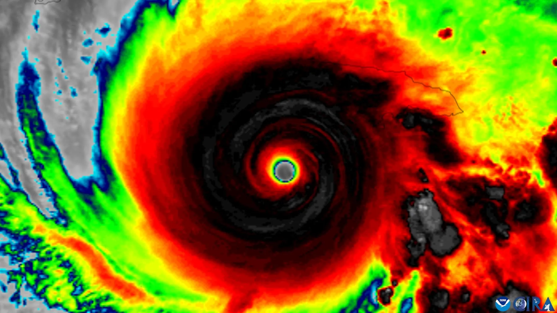
Early Indicators Predict Tropical Cyclone Intensification
Four features in a tilted tropical cyclone's structure may signal intensification, according to nearly three decades of Hurricane Hunter data. These early indicators offer forecasters a practical window to recognize when a disorganized storm is straightening its circulation and building strength. That is the kind of measurable, peer-reviewed insight that turns observation into actionable ocean intelligence. For broader context on how marine systems interconnect, our related coverage, including "Integrated Subsea Cables Enhance Data Transmission Across the Indian Ocean," explores the infrastructure linking our global ocean.