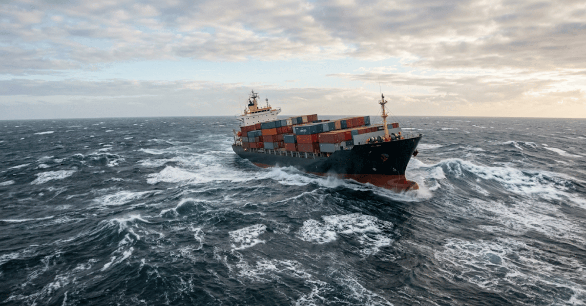
A new Sofar Ocean analysis has quantified what many in the maritime industry have long suspected but could not prove: the wave forecasts guiding vessel routes contain gaps that leave ships exposed to conditions capable of triggering dangerous rolling and cargo loss. The findings are not an indictment of forecasting technology itself, but rather a clear signal that the current observational network is too sparse to capture the full complexity of ocean conditions. For the crews and masters who make split-second decisions based on available data, this is not an academic problem. It is a vulnerability measured in degrees of hull roll and the security of every container on deck.
The connection between forecast accuracy and insurance risk is direct and measurable. As marine insurance premiums rise to $42.6 billion amidst market softness, underwriters are increasingly scrutinizing risk models that depend on reliable environmental data. If forecasts systematically miss certain wave states, then the actuarial tables are built on incomplete inputs. This creates a feedback loop: underreporting wave hazards depresses perceived risk, which keeps premiums lower than they should be for high-exposure routes, which in turn reduces the commercial incentive to invest in better data collection. Sofar's analysis breaks that loop by quantifying the gap. It gives insurers and operators a common reference point for what is actually out there, rather than what the models happen to capture.
The technical path forward is already visible in the broader trend toward compact, low-cost sensing. Research on wave height estimates from MEMS sensors shows that the processing methods applied to these devices matter enormously; the raw data is only as good as the calibration and interpretation behind it. This is where the opportunity lies. A denser network of calibrated, real-time sensors on commercial vessels would feed the forecast models with the empirical observations they lack. It is not a matter of building better algorithms in isolation. It is about creating an integrated data ecosystem where every ship becomes a node in a global observation network, measuring wave conditions that satellites and buoys cannot resolve.
The practical takeaway for operators is straightforward: treat forecast products as conditional, not absolute. If your route takes you through regions where the analysis indicates coverage gaps, or if your vessel lacks onboard sensing to verify conditions, then conservative assumptions are warranted. The data gap is not an abstract problem for meteorologists to solve. It is a direct input to voyage planning, cargo securing, and the decision to delay a departure. The question to watch is whether the commercial shipping industry will adopt the sensing infrastructure needed to close the gap, or whether it will continue to navigate the oceans with partial knowledge. For now, the analysis is a warning that the wave data on your screen may be the safest part of the forecast.