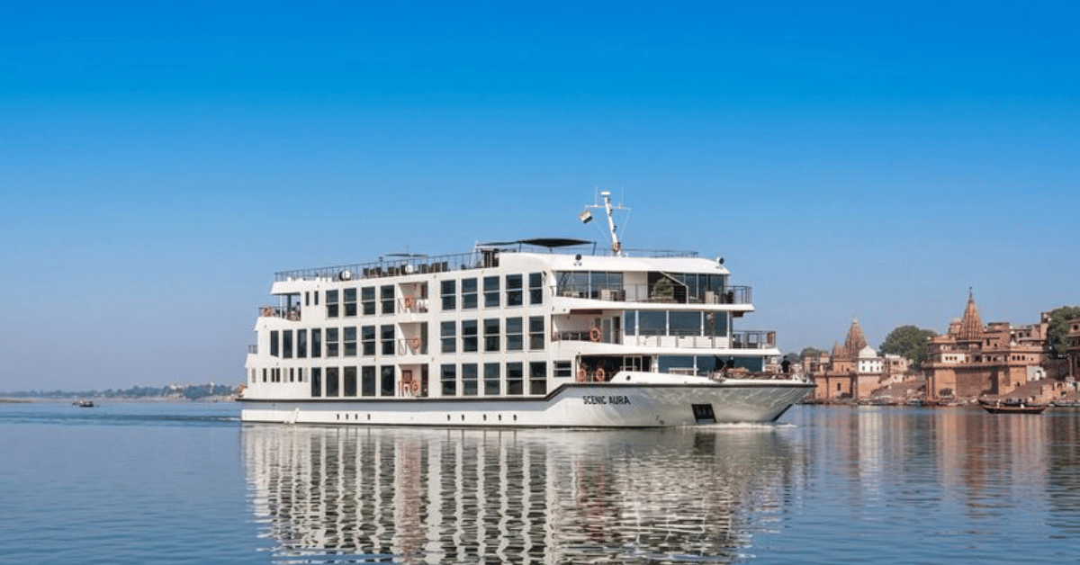
Two new ultra-luxury river ships will begin cruising the Brahmaputra by 2029-30, the result of a partnership between Scenic Group and Assam Bengal Navigation. On its face, this is a story about tourism infrastructure. But for anyone tracking the intersection of maritime commerce and regional development, the news carries a different weight. The Brahmaputra is not a placid waterway for leisure; it is a dynamic, sediment-laden river that shifts course unpredictably, carries immense seasonal discharge, and flows through one of the most ecologically sensitive basins on the planet. Introducing a pair of luxury vessels requires more than marketing. It demands validated hydrographic data, calibrated navigation charts, and real-time monitoring of river depth and current. This is where our readers, researchers, policymakers, and port operators, should pay attention. The same ocean intelligence tools that support shipping on the Asia-Europe corridor are now being applied inland. India's recent investment in its first e-methanol plant, India's first e-methanol plant fuels cleaner shipping on the Asia-Europe corridor, signals that the country is serious about decarbonizing its maritime footprint. The Brahmaputra cruises will need to align with that trajectory, not just in fuel choice but in the empirical measurement of emissions, waste discharge, and ecological impact.
The practical question for our audience is whether the data infrastructure exists to support safe, year-round navigation on a river this volatile. Longitudinal studies of the Brahmaputra's sediment transport and channel migration are scarce. Without integrated data ecosystems that merge satellite imagery, river-gauge telemetry, and seasonal forecasting, these ships risk operating on incomplete information. That is not a hypothetical concern. The same government that approved this cruise expansion also designated Paradip Port as a mega port, Paradip Port Designated a Mega Port, Anchors Eastern India's Maritime Growth, a move that will increase cargo throughput and pressure on adjacent waterways. The Brahmaputra basin is connected to that system. If luxury cruising is to coexist with industrial shipping and subsistence fishing, the data layer must be shared, peer-reviewed, and publicly accessible. That is not an idealistic wish; it is a safety requirement.
Our take is straightforward: this expansion should be read as a stress test for India's inland maritime data capacity. The ships themselves are not the story. The story is whether the monitoring systems, the environmental baselines, and the collaborative frameworks between state agencies and private operators are ready. The Scenic Group has a reputation for high-end river cruising on the Mekong and the Danube. Those rivers have decades of calibrated navigation data. The Brahmaputra does not. That gap is not a dealbreaker, it is a call to action for the ocean intelligence community. What would we tell a reader who asks about this? Build the measurement network before the keels are laid. The cruise operators will need empirical river data to schedule itineraries and ensure passenger safety. The local communities will need transparent climate indicators to assess how increased traffic affects fish stocks and erosion. And the government will need integrated environmental impact assessments that go beyond the permit stage.
One specific consequence to watch: the seasonal window for Brahmaputra cruising is currently narrow, roughly October to April. If these ships are to operate profitably, that window must be extended or the vessels must be designed for variable conditions. That engineering challenge will either drive innovation in shallow-draft, low-impact hull design or it will pressure regulators to loosen environmental restrictions during monsoon flows. The outcome will be measurable. We will know which path was taken by the data that gets collected, or the data that does not.