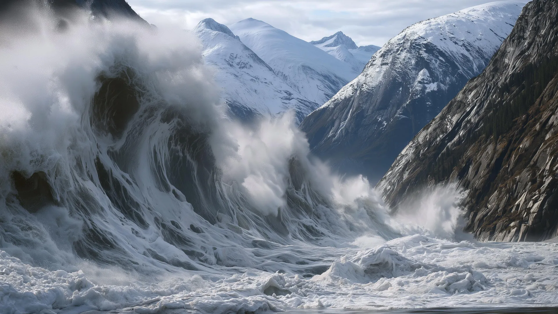
The second-highest tsunami ever recorded, 1,580 feet of water and debris hurled up a mountainside in Alaska, should reframe how we think about glacial retreat. This is not a distant, theoretical risk; it is a measured, empirical event that occurred hours after tourists visited the same fjord. The warning signs were there: rapid glacier retreat, heavy rainfall, and thousands of tiny seismic tremors. But the question we must now confront is whether we are building the observational capacity to detect these signals before the next slide, or merely cataloguing them afterward.
For researchers, policymakers, and coastal communities, this event is a direct challenge to existing risk models. Landslide-generated tsunamis have long been studied, but the scale here, the wave runup exceeded the height of the Burj Khalifa, demonstrates that glacier-retreat zones are becoming unstable in ways we are only beginning to quantify. Our own coverage of Engineering resilience from nature: DARE for uncertain climate futures argues for proactive, adaptive strategies precisely because climate-driven uncertainties are no longer hypothetical. The Alaska event makes that argument urgent: we need integrated, real-time monitoring networks that can correlate seismic data, precipitation records, and glacier mass-balance measurements into actionable warnings. Without that calibrated, longitudinal data, we remain reactive to disasters that had detectable precursors.
The scientific community now has an opportunity to treat this event as a critical data point in a larger, measurable trend. Peer-reviewed analyses of the landslide's mechanics, the glacier's retreat rate, and the seismic swarm will be essential. But the practical takeaway is already clear: mountainous coastal regions with retreating glaciers are entering a phase of elevated hazard. This is not alarmism, it is a validated observation. As we noted in our coverage of The ICJ anchors ocean law into the climate governance framework, climate and ocean governance are converging precisely because the physical systems are linked. A landslide in Alaska and an international court ruling on ocean law are not separate stories; they are two sides of the same integrated challenge. The governance frameworks we build must be as dynamic as the systems they aim to manage.
One specific detail to watch: the timing of the seismic swarm relative to the landslide. If those thousands of tiny tremors are a reliable precursor, then real-time seismic networks in glacial fjords could provide a window of hours, not days, for evacuation. That is a narrow but measurable lead time, and it demands that we invest in the observational infrastructure now. Understanding drives protection, but only when protection is built on data that arrives before the wave does.