robotic exploration
13 stories filed under robotic exploration on World Data Ocean. The newest of them: “Measured sea level rise validated across decades of ocean data”, “4500-Meter Autonomous Robot Extends South China Sea Observation Reach”, and “Damage Assessment Underway on Russia’s Admiral Makarov Icebreaker”. Measured sea level rise, validated across decades of ocean data, tells a clear story. China's new autonomous robot operates at depths of 4,500 meters, extending our observational reach into the South China Sea. A Global Hub for Ocean Intelligence 4 World Data Ocean is a centralized digital platform where researchers, scientists, and ocean enthusiasts converge to… The list below is every robotic exploration story on World Data Ocean, newest first.

Measured sea level rise validated across decades of ocean data
Measured sea level rise, validated across decades of ocean data, tells a clear story. Seasonal estimates from Church and White (2011) align with the University of Hawaii's Fast Delivery data, both showing change in millimeters against the 1993-2008 average. This is empirical, peer-reviewed evidence of a measurable climate signal. For deeper context, our coverage of 2025 Temperature Anomalies reveals how these climate indicators connect. Understanding drives protection.
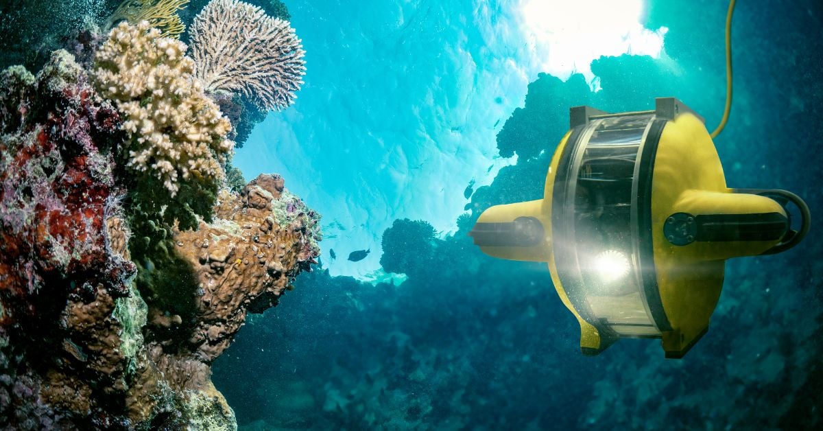
4500-Meter Autonomous Robot Extends South China Sea Observation Reach
China's new autonomous robot operates at depths of 4,500 meters, extending our observational reach into the South China Sea. This is measurable progress, empirical, validated engineering that adds real-time data from a region critical to climate indicators. The robot doesn't alarm; it informs. Understanding drives protection. For deeper context on naval ocean intelligence, see our coverage of the second U212NFS submarine's keel-laying. From the ocean floor to the surface, the integrated data ecosystem grows.
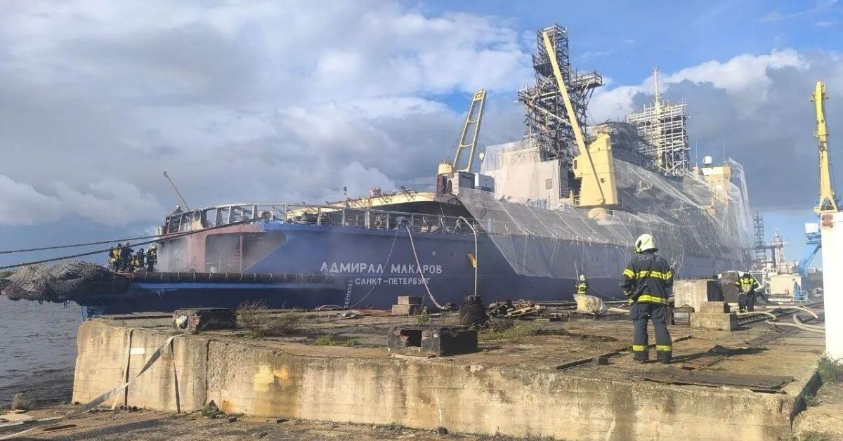
Damage Assessment Underway on Russia’s Admiral Makarov Icebreaker
A fire broke out September 5 in the steering-gear compartment of Russia's Admiral Makarov icebreaker, according to Telegram channel 112, with damage assessment now underway. The incident underscores the operational vulnerabilities facing Moscow's Arctic fleet, even as it invests heavily in expanding its Northern Sea Route capabilities. For a vessel central to strategic ambitions, this is a measured but pointed reminder that readiness demands more than new builds.

Autonomous Robotics to Bolster U.S. Mineral Supply Chain from the Ocean
The ocean floor holds minerals the U.S. supply chain cannot afford to ignore, and a new hub is stepping in to secure them. Autonomous robotics will take on the extraction work, reducing our reliance on foreign-controlled sources with measurable precision. It is a practical move, driven by the same logic that guides our broader push for ocean intelligence. For those tracking how this fits with defense priorities, our article on Navy Accelerates Autonomous Systems Integration offers useful context on the operational side.

Shackleton's Lost Ship Found—Protected Zone Shows Promise for Preservation
Newly obtained imagery has definitively located the wreck of the *Quest*, the final ship commanded by famed Antarctic explorer Ernest Shackleton. Situated in the Hawke Channel off the coast of Labrador, within the protected “Hawke Box,” the vessel rests entangled in fishing nets. This significant discovery provides valuable empirical data regarding maritime history and the ongoing impact of fishing practices. Further exploration will undoubtedly yield invaluable insights.
Reaching Remote Oceans: Costs, Timelines, and Research Challenges
Accessing remote ocean locations for research presents a significant logistical challenge. Deployment of instruments, AUVs, and ROVs requires specialized vessels, incurring substantial costs and time commitments. Typical expenses range from tens of thousands to millions of dollars, with project timelines often extending months for planning and execution. Delays and cancellations due to vessel availability are common. Researchers sometimes leverage alternative vessels like cargo ships or fishing boats, but this introduces unique complexities.
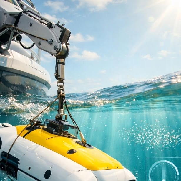
Decentralized Robotics Expand Ocean Exploration and Data Collection.
The abyss isn't as out of reach as it once was. With the emergence of portable robotics like the MOLA AUV, high-tech ocean exploration is becoming accessible to smaller, decentralized teams. This shift is revolutionizing our understanding of the deep sea through an influx of 'bottom-up' data. At World Data Ocean, we are enhancing our platform to process this real-time information, ensuring that every insight, regardless of its origin, is validated and actionable.

Automated Drone Platform Enables Safe Shipboard Landings.
In a groundbreaking development, a UK-based firm has unveiled an innovative gyro-stabilised platform designed to enable drones to autonomously take off and land on moving ships. This technological advancement addresses the complexities of vertical takeoff and landing (VTOL) operations in dynamic maritime environments, enhancing safety and operational efficiency. By integrating real-time stabilization technology, this platform represents a significant step forward in maritime drone capabilities, fostering greater collaboration in ocean monitoring and research. This innovation underscores the potential for drones to contribute meaningfully to ocean stewardship.

Mapping the Deep: Unveiling a Mediterranean Shipwreck Through Precision Imaging
The Precision ROV, deployed by CEPHISMER with scientific support from DRASSM, has successfully captured 86,000 images of one of the Mediterranean's deepest shipwrecks. This advanced remotely operated vehicle is designed to operate at depths of up to 4,000 meters, showcasing its capabilities in challenging underwater environments. The extensive image collection not only enhances our understanding of maritime history but also contributes valuable data for ongoing research in marine science. This initiative exemplifies the integration of technology and collaboration in ocean exploration and stewardship.
From Code to Current: A Software Engineer's Oceanographic Shift
Transitioning into oceanography from a software engineering background can be a rewarding path, especially for those passionate about marine science and technology. Institutions like MBARI and WHOI seek individuals who can combine technical skills with a commitment to ocean stewardship. To pursue this career, consider furthering your education in marine science or ocean engineering, gaining experience through internships, and networking with professionals in the field.
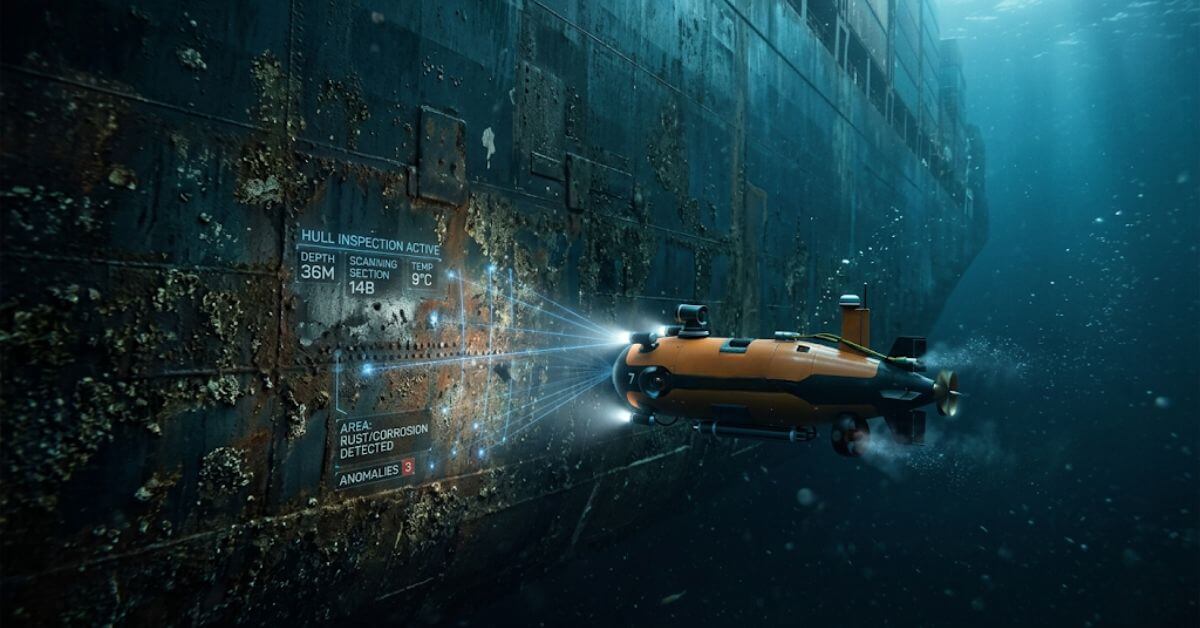
Autonomous Inspections: Validating AUV Technology for Safer, Efficient Ship Hulls
IQUA Robotics has successfully validated the use of autonomous underwater vehicles (AUVs) for ship hull inspection, eliminating the need for human divers. This innovative approach enhances safety and efficiency in maritime operations. The team is also set to explore the application of 3D sonar technology, which aims to improve the detection of sudden changes in hull shape and optimize navigation control. By integrating advanced robotics and sonar capabilities, IQUA Robotics is paving the way for more effective and reliable underwater inspections in the shipping industry.
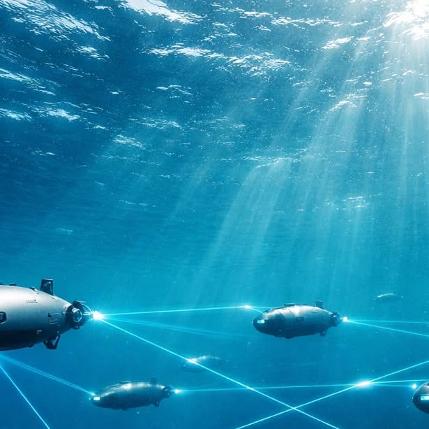
Ocean Exploration: From Ships to Swarms, Data Revolutionizes Understanding.
The exploration of our oceans is undergoing a transformative shift, moving from traditional research vessels to sophisticated autonomous robotic fleets. This evolution, driven by Ocean Infinity Operations, enables coordinated, real-time data integration, vastly improving our ability to monitor environmental indicators with validated accuracy. Rather than relying on isolated snapshots, we now access a dynamic living data ecosystem that empowers researchers and scientists to make informed decisions about our planet’s future.
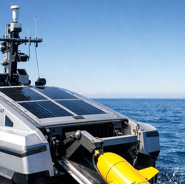
Autonomous Ocean Exploration: A New Era of Marine Data Collection
Imagine a team of scientists that operates tirelessly, exploring the deepest corners of our blue planet without the constraints of seasickness or fatigue. This is the reality of autonomous marine science today, where surface vessels act as mobile hubs, deploying fleets of underwater gliders and aerial drones in a synchronized effort to map our oceans. At World Data Ocean, we transform the data collected from these advanced technologies into validated ocean intelligence, enhancing our understanding and stewardship of marine environments like never before.