ice loss
3 stories filed under ice loss on World Data Ocean. The newest of them: “New model shows warm water undercuts Thwaites, doubling sea-level risk”, “Switzerland's glacier loss accelerates to nearly 20% in five years”, and “27 meters of ice loss measured across 50 years in reference glaciers”. Warm ocean water is now known to be penetrating miles beneath Thwaites Glacier, doubling previous sea-level risk projections. Switzerland's glaciers lost more than 5% of their ice volume in 2026 alone, pushing the five-year total to nearly 20%. A Global Hub for Ocean Intelligence 4 World Data Ocean is a centralized digital platform where researchers, scientists, and ocean enthusiasts converge to… The list below is every ice loss story on World Data Ocean, newest first.
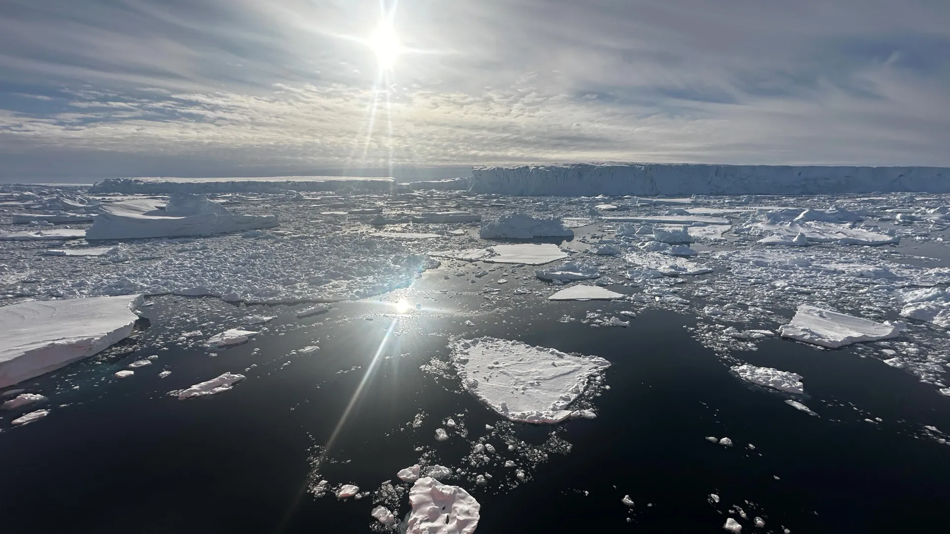
New model shows warm water undercuts Thwaites, doubling sea-level risk
Warm ocean water is now known to be penetrating miles beneath Thwaites Glacier, doubling previous sea-level risk projections. Even without additional global warming, this new model shows the glacier could add 30 millimeters to sea levels by 2100, with a 60% chance of losing its critical stabilizing ridge. This is empirical evidence that ocean intelligence must guide our climate indicators. Understanding drives protection. For context on accelerating ice loss elsewhere, see our coverage of Switzerland's glacier loss.
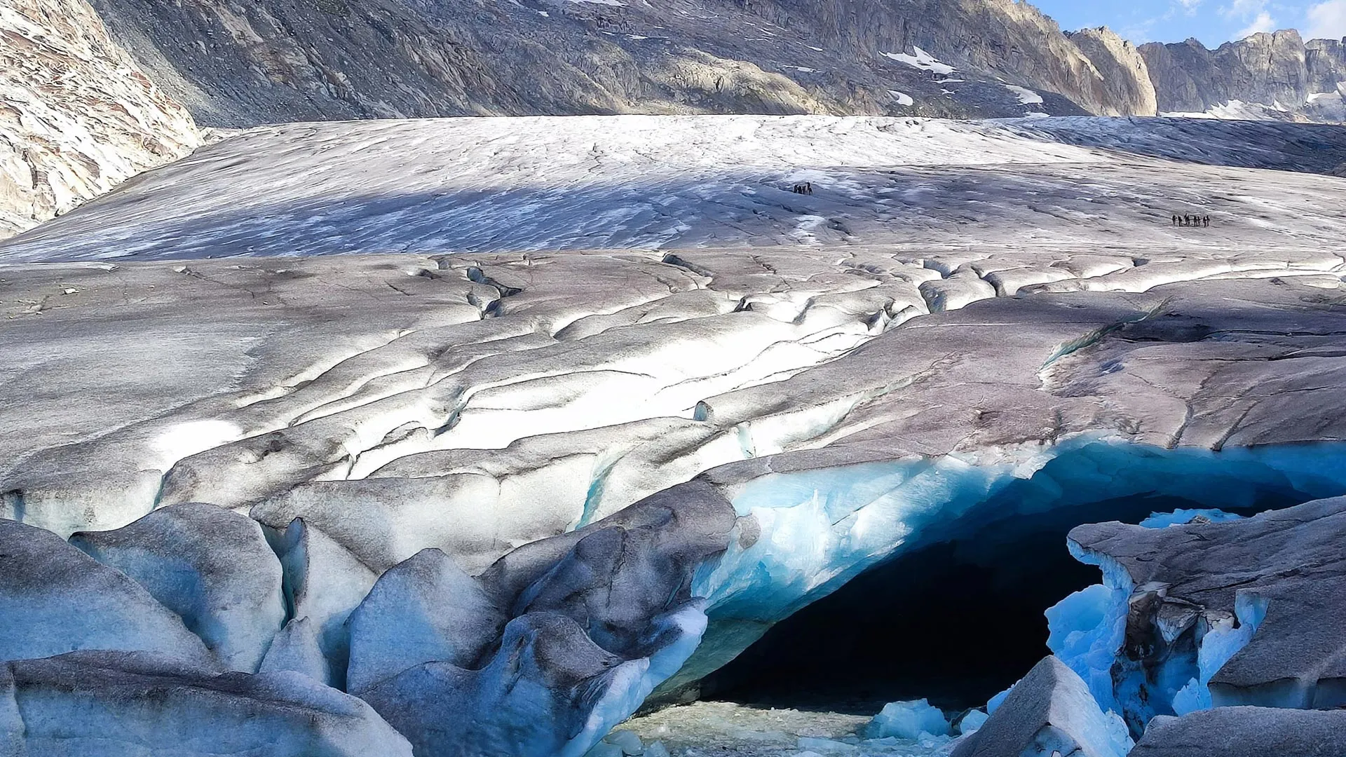
Switzerland's glacier loss accelerates to nearly 20% in five years
Switzerland's glaciers lost more than 5% of their ice volume in 2026 alone, pushing the five-year total to nearly 20%. Some of the country's most famous glaciers recorded their worst melting ever, while smaller ones vanished entirely. Unusually snowless winters and extreme summer heat are driving this measurable, empirical loss. These are not abstract climate indicators, they are calibrated, real-time signals of systemic change.
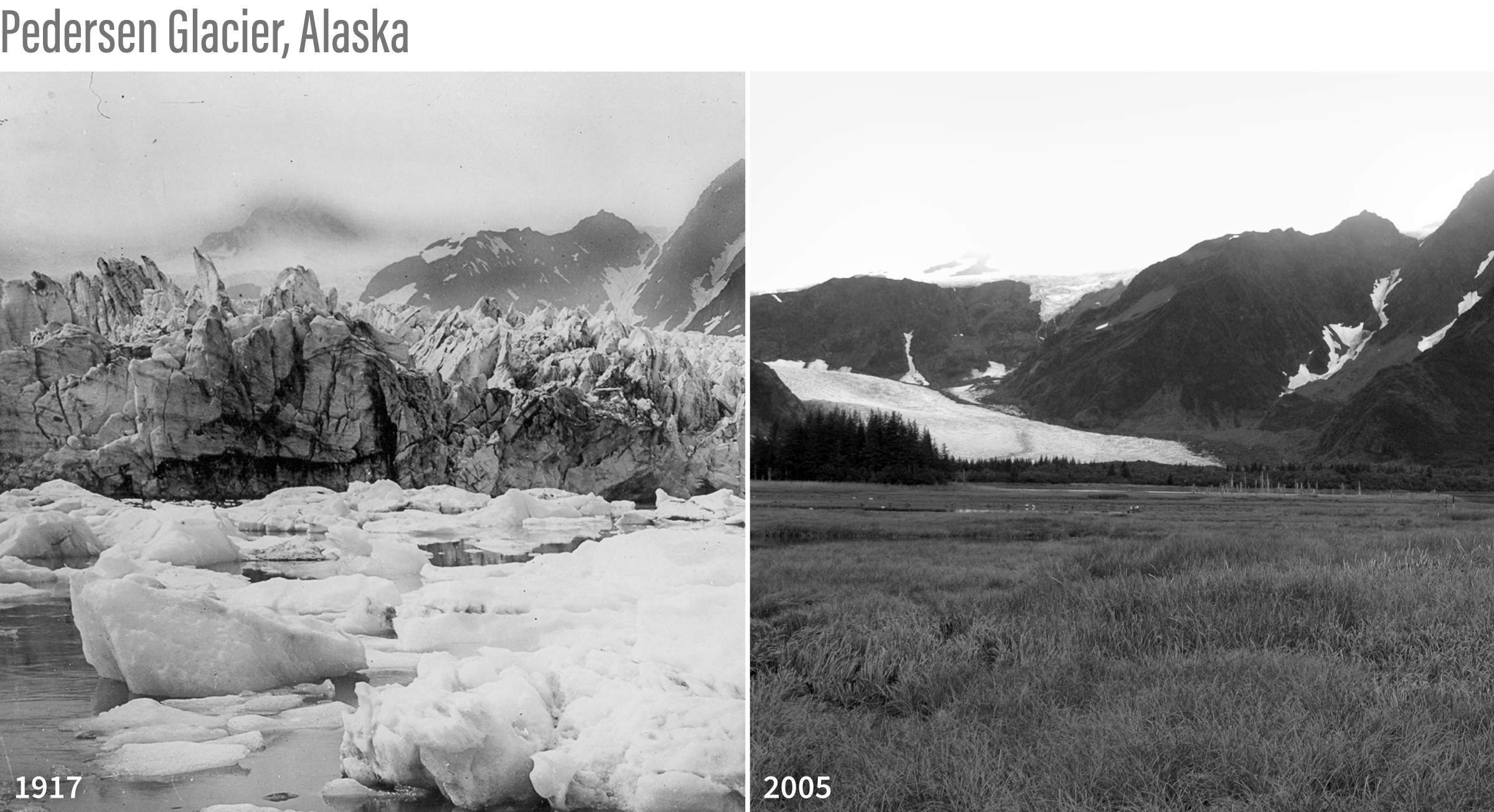
27 meters of ice loss measured across 50 years in reference glaciers
Twenty-seven meters of water equivalent. That is the cumulative ice loss measured across the World Glacier Monitoring Service's reference glaciers since 1970, a slab nearly 100 feet thick sliced from the top of each one. Glacier mass balance is a direct, empirical climate indicator. This is not a projection; it is validated, longitudinal data. Understanding drives protection. For a broader view of how such measurements fit into global ocean health, see "Measuring ocean health begins with an integrated data ecosystem."