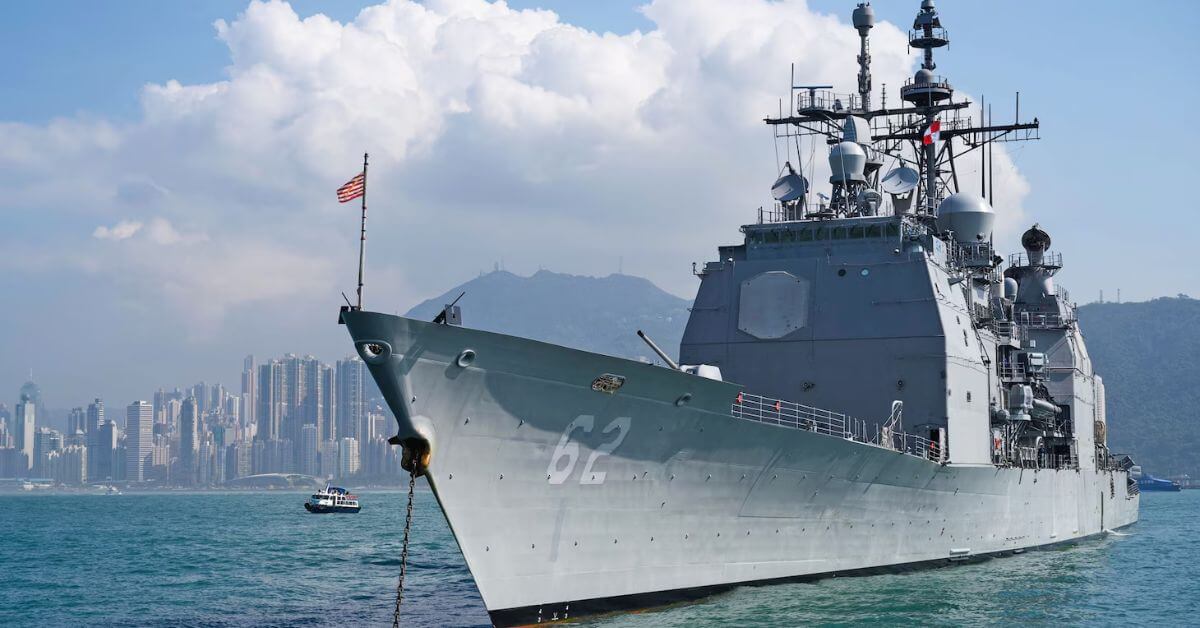
The return of USS Robert Smalls to San Diego after a seven-month deployment is a concrete demonstration of how naval operations generate the kind of sustained, empirical data collection that drives real ocean intelligence. This is not merely a story about a ship changing homeports; it is a case study in how integrated, multi-platform observation, spanning carrier strike groups, allied navies, and strategic waterways, builds the longitudinal datasets needed to understand our changing seas.
Over 40,000 nautical miles, the cruiser operated across the US 3rd and 7th Fleet areas, passed through five strategic chokepoints, and conducted 14 underway replenishments, including two with an Australian oiler. For researchers and policymakers tracking climate indicators, these patrols are not abstract. Every air defense drill in the South China Sea, every coordinated transit with Japanese and Australian warships, and every port visit, such as the return to Da Nang, Vietnam, under the Comprehensive Strategic Partnership, produces measurable data on ocean conditions, maritime traffic patterns, and regional environmental baselines. This mirrors the kind of integrated data ecosystem we advocate for, where validated, real-time observations from military and civilian platforms are calibrated to inform everything from fisheries management to storm forecasting. For those aligning their marine biology studies with operational ocean science, understanding how naval assets function as mobile sensor platforms is increasingly relevant, a point underscored by our guide on Where to Study Marine Biology: Aligning Location with Your Ocean Science Goals.
The ship's command-and-control roles, alternate composite warfare commander, air and missile defense commander, aircraft control unit, highlight a less visible but equally vital function: the calibration of multi-domain sensor networks. When a cruiser serves as the sole escort for a carrier during sea trials and certifications, it is validating the interoperability of systems that also collect environmental data. The crew's response to a sailor in need and the completion of replenishments at sea are not footnotes; they are indicators of operational readiness that directly affects the quality and continuity of data streams. This matters for the same reason that clarifying a dugong population status in Gathaagudu matters, both require sustained, peer-reviewed observation over time, as detailed in our analysis of New data clarifies Wuthuga dugong population status in Gathaagudu.
The Navy's rotation of USS Robert Smalls out of Yokosuka, Japan, to comply with the 10-year forward-deployment limit, raises a practical question: what happens to the observational continuity when a platform leaves a region? The arrival of USS Mustin as its replacement is a planned handoff, but the transition of personnel, equipment, and data-sharing protocols between crews is where gaps can emerge. For the ocean intelligence community, the specific consequence to watch is whether the calibrated baselines established during this deployment are transferred seamlessly to the next rotation, or if the longitudinal record suffers a discontinuity. That is the concrete detail that will determine whether this deployment contributes to a truly integrated data ecosystem or remains an isolated, though impressive, operational milestone.