seismic activity
3 stories filed under seismic activity on World Data Ocean. The newest of them: “Mediterranean Tsunami Risk: Modeling Reveals Urgent Threat and Limited Warning.”, “Deep Earth Plume Drives Continental Rift Formation Under Africa”, and “Mapping the Earth's Hidden Layers with Seismic Rumbles”. A two-meter wave in under ten minutes. A vast plume rising from deep inside Earth is reshaping the East African Rift, driving the continent's slow pull apart. A Global Hub for Ocean Intelligence 4 World Data Ocean is a centralized digital platform where researchers, scientists, and ocean enthusiasts converge to… The list below is every seismic activity story on World Data Ocean, newest first.
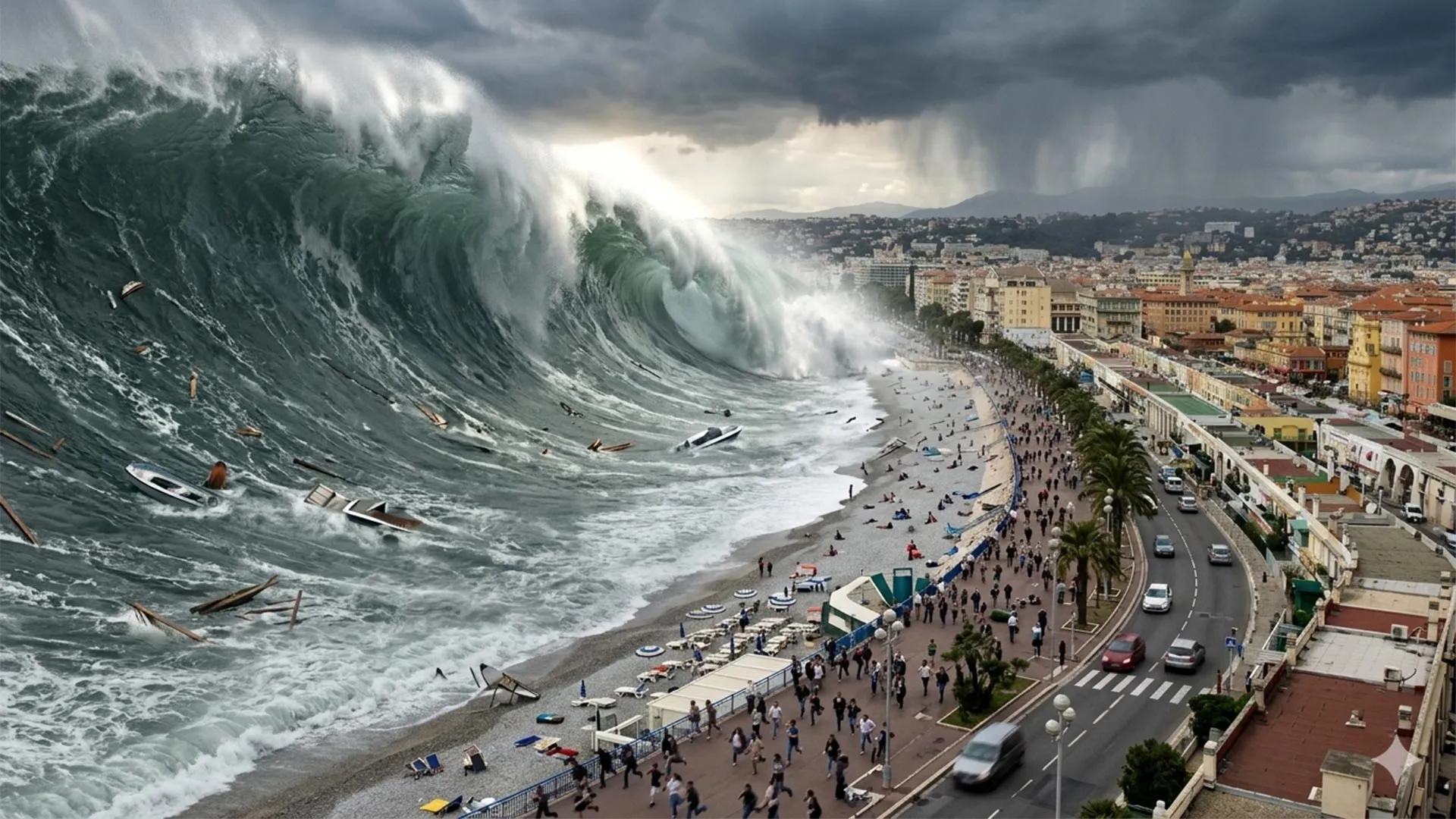
Mediterranean Tsunami Risk: Modeling Reveals Urgent Threat and Limited Warning.
A two-meter wave in under ten minutes. That is the reality of tsunami risk along the French Riviera, a region more associated with calm coasts than sudden catastrophe. History and modern modeling confirm that destructive waves can strike with almost no warning. This is not alarmism, it is a measured, empirical call for preparedness. The threat is urgent and measurable. For a deeper look at regional security dynamics, readers may explore our related coverage of Russian maritime activities in the Mediterranean.
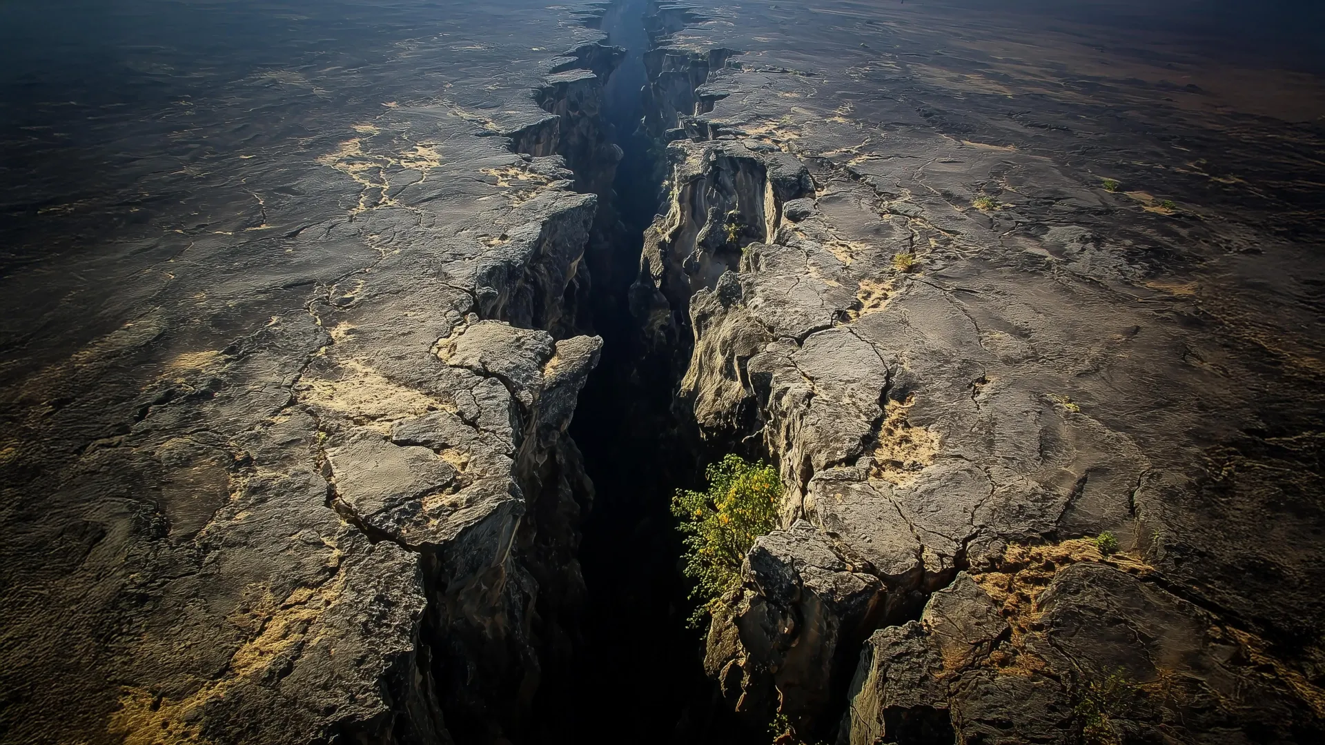
Deep Earth Plume Drives Continental Rift Formation Under Africa
A vast plume rising from deep inside Earth is reshaping the East African Rift, driving the continent's slow pull apart. This discovery links mantle forces with shallower geological activity, offering a clearer picture of a process we are only beginning to map. Understanding these deep dynamics matters; they are not abstract, but active. For more on how tectonic forces unfold in real time, see our coverage of Cascadia's fragmented subduction zone.

Mapping the Earth's Hidden Layers with Seismic Rumbles
Beneath our feet, the ground is rarely silent. Scientists have turned fiber-optic cables into seismic ears, capturing the faint rumble of "thunderquakes" to map the hidden layers of the Earth. It is a clever recalibration of existing infrastructure, transforming a network of light into a tool for urban hazard detection. This approach offers a measurable way to see what is buried below, and it pairs well with our coverage of the Cascadia Subduction Zone, which reveals a similarly fragmented tectonic process.