remotely operated vehicle
6 stories filed under remotely operated vehicle on World Data Ocean. The newest of them: “India deploys military-grade ROVs to advance ocean intelligence capabilities”, “Body of Captain Recovered Following Sea of Marmara Collision”, and “Mapping American Samoa's Depths: An Exploration of Ocean Intelligence.”. India has deployed two military-grade underwater remotely operated vehicles (ROVs), built by Kerala-based maritime robotics firm EyeROV, to advance its ocean intelligence capabilities. The recovery of Yaşar Kayhan's body, found five kilometers from the Sea of Marmara collision site, brings a somber closure to a search that began with uncertainty. A Global Hub for Ocean Intelligence 4 World Data Ocean is a centralized digital platform where researchers, scientists, and ocean enthusiasts converge to… The list below is every remotely operated vehicle story on World Data Ocean, newest first.
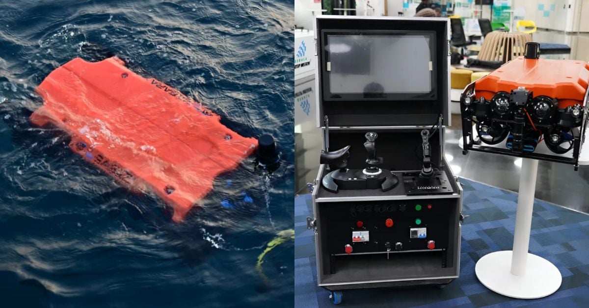
India deploys military-grade ROVs to advance ocean intelligence capabilities
India has deployed two military-grade underwater remotely operated vehicles (ROVs), built by Kerala-based maritime robotics firm EyeROV, to advance its ocean intelligence capabilities. These calibrated, integrated systems represent a measurable leap in real-time ocean data collection. As we noted in our coverage of the new AI and digitalisation pact between China Merchants Energy Shipping and RINA, the maritime sector is increasingly turning to validated technology for safety and emissions goals. Understanding drives protection, from the ocean floor to the surface.
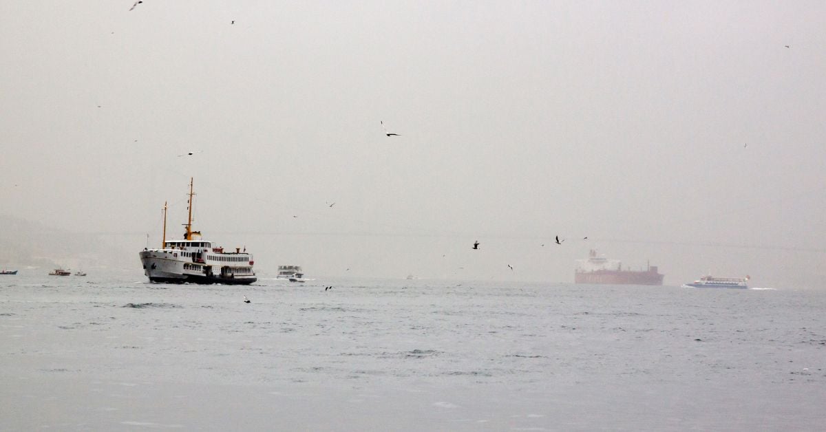
Body of Captain Recovered Following Sea of Marmara Collision
The recovery of Yaşar Kayhan's body, found five kilometers from the Sea of Marmara collision site, brings a somber closure to a search that began with uncertainty. Now transported to the forensic department, the focus shifts to determining the cause of death with empirical precision. This incident underscores the inherent risks of maritime operations, where every voyage carries measurable stakes. For deeper context on regional maritime dangers, our coverage of the fatal attack on a cargo ship in the Black Sea highlights similar vulnerabilities.
Mapping American Samoa's Depths: An Exploration of Ocean Intelligence.
Beneath the waves of American Samoa lies a terrain as uncharted as it is vital, and this latest expedition turns raw data into actionable insight. We're encouraged by how this work transforms seabed mapping into a tool for stewardship, not just discovery. It's precise, purposeful, and exactly the kind of empirical effort our shared ocean future demands.

Exploring the Cook Islands Depths: A 2026 ROV Expedition.
In 2026, a new ROV expedition will descend into the waters surrounding the Cook Islands, aiming to transform our understanding of a region whose depths remain largely unmeasured. This is not a hunt for spectacle; it is a methodical effort to gather empirical data where none currently exists. The mission's value will be defined by its calibrated instruments and the peer-reviewed findings they produce.
Mapping the Deep: Cook Islands ROV Exploration Set for 2026
In 2026, the Cook Islands will bring its seabed into sharper focus through a dedicated ROV exploration campaign. This is the kind of methodical, on-the-ground ocean intelligence we need more of, moving from satellite-level observation to direct, calibrated observation of the deep. It is a precise step for mapping what remains unseen. For a broader look at how these efforts connect, our piece on mapping American Samoa's seabed offers a useful regional comparison. Understanding drives protection, and this work is a clear example.
Exploring the Cook Islands Depths: A 2026 ROV Mission.
In early 2026, an ROV mission will descend into the waters surrounding the Cook Islands, where the seafloor remains largely uncharted. This is the kind of methodical, empirical work that turns raw data into ocean intelligence. By capturing validated, real-time imagery from the depths, the mission strengthens the integrated data ecosystem that researchers and policymakers rely on. For those tracking how these efforts connect, our piece on NOAA's calibrated ocean intelligence offers useful context. Understanding drives protection, and this expedition brings us closer to both.