ocean temperature
World Data Ocean keeps ocean temperature in one place: 6 stories so far. The section currently leads with “Global Drifter Network Delivers Real-Time Ocean Data to Sharpen Forecasts and Coastal Safety”, “Measuring the Ocean's Warming Pulse at 2,000 Meters”, and “Calibrating ocean intelligence to navigate a warming world”. Every twelve hours, a network of thousands of drifting buoys reports ocean temperature, currents, and barometric pressure from the most remote waters on Earth. Two thousand meters down, the ocean is warming measurably and without pause. A Global Hub for Ocean Intelligence 4 World Data Ocean is a centralized digital platform where researchers, scientists, and ocean enthusiasts converge to… The list below is every ocean temperature story on World Data Ocean, newest first.
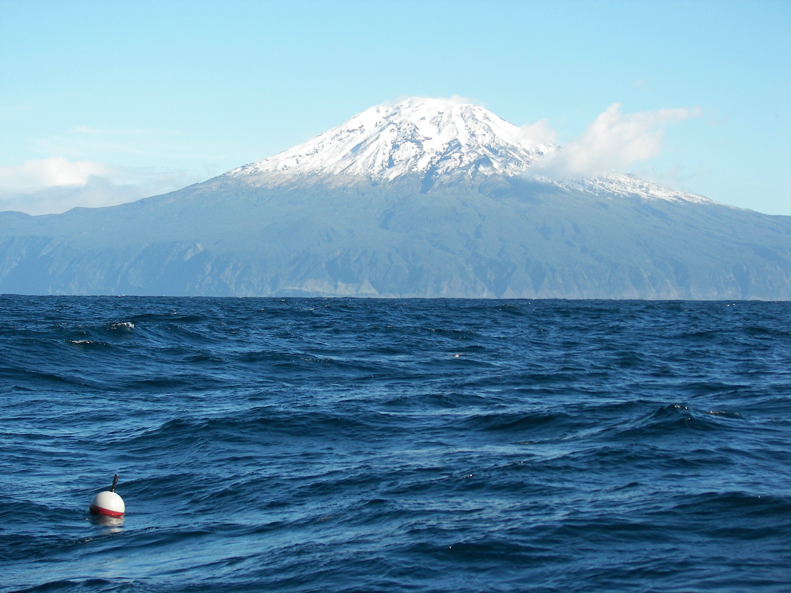
Global Drifter Network Delivers Real-Time Ocean Data to Sharpen Forecasts and Coastal Safety
Every twelve hours, a network of thousands of drifting buoys reports ocean temperature, currents, and barometric pressure from the most remote waters on Earth. NOAA's Global Drifter Program turns that distributed data into a single, calibrated view of the planet's climate system. These instruments verify weather models, sharpen satellite observations, and reveal inter-annual signals like ENSO. Understanding drives protection. For a deeper look at how shared ocean data standards support such systems, see our coverage of integrating fragmented bathymetric data.
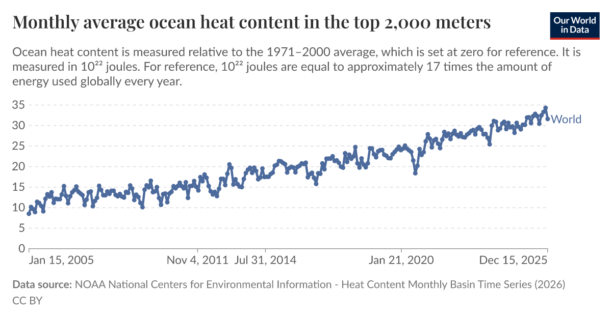
Measuring the Ocean's Warming Pulse at 2,000 Meters
Two thousand meters down, the ocean is warming measurably and without pause. Monthly average heat content in the top 2,000 meters provides one of the most empirically grounded climate indicators available, validated, peer-reviewed, and increasingly urgent. This isn't a distant signal; it is a calibrated pulse we can track in real time. Understanding drives protection. For deeper context on how global experts are building the data framework to monitor these changes, see "Global experts unite to steer Ocean Decade's data and knowledge framework."
Calibrating ocean intelligence to navigate a warming world
Calibrating ocean intelligence requires more than collecting data, it demands integration. Our warming world is outpacing fragmented observation systems. Validated, real-time measurements from orbit to ocean floor must become an integrated data ecosystem, not isolated snapshots. This is measurable, empirical work. Understanding drives protection. For deeper coverage, explore our related piece, "From orbit to ocean floor: integrated data reshapes our view of the sea," which examines how this unified approach is transforming marine science.

Tracking Climate Signals in the Deep Ocean Heat Record
The ocean is warming, and the signal is unmistakable. Monthly average ocean heat content in the top 2,000 meters offers a clear, empirical record of how much energy our planet is absorbing. These measurements are more than data points; they are a validated climate indicator, revealing a steady, measurable trend. Understanding this record is essential, and we connect it to related research like our piece on Agulhas Leakage and intensifying compound ocean extremes, deepening the context for informed action.

Measuring only heatwave peaks misses months of ocean heat stress
Marine heatwaves are not single spikes, they are often the visible crest of a much longer warming event, with elevated temperatures lingering for months. New research shows that conventional measurements, which focus only on peak intensity, underestimate total heat exposure by more than 150% on average. That is a significant blind spot in how we assess stress on marine ecosystems. Understanding drives protection, and this study clarifies why we must look beyond the peaks.

Climate Change and Overfishing Threaten Caribbean Queen Conch Populations
The queen conch's decline is not a distant warning, it is a measurable reality. Overfishing has already pushed this keystone Caribbean species to Threatened status, yet climate impacts remain poorly understood. Our integrated models reveal stark divergence: benthic habitats may remain stable under optimistic scenarios, but surface-level projections warn of abrupt suitability losses across all pathways by 2040. Anticipating where suitable habitat persists is now essential for conservation.