Malaysia
Malaysia at World Data Ocean is a file of 5 stories. The newest of them: “Malaysia restricts tanker traffic and bunkering in new Strait marine protected zone”, “Ferry-Tanker Collision Near Penang Injures 21; Six Critically Conditioned”, and “Securing Vital Sea Lanes: Commitment to Straits of Malacca and Singapore.”. Malaysia has taken a measured but decisive step in its newest marine protected zone, restricting tanker traffic and bunkering while imposing speed limits on all vessels. A collision between a ferry and a tanker off Malaysia's Penang Port has left 21 people injured, six of them in critical condition, authorities confirmed. A Global Hub for Ocean Intelligence 4 World Data Ocean is a centralized digital platform where researchers, scientists, and ocean enthusiasts converge to… The list below is every Malaysia story on World Data Ocean, newest first.
Malaysia restricts tanker traffic and bunkering in new Strait marine protected zone
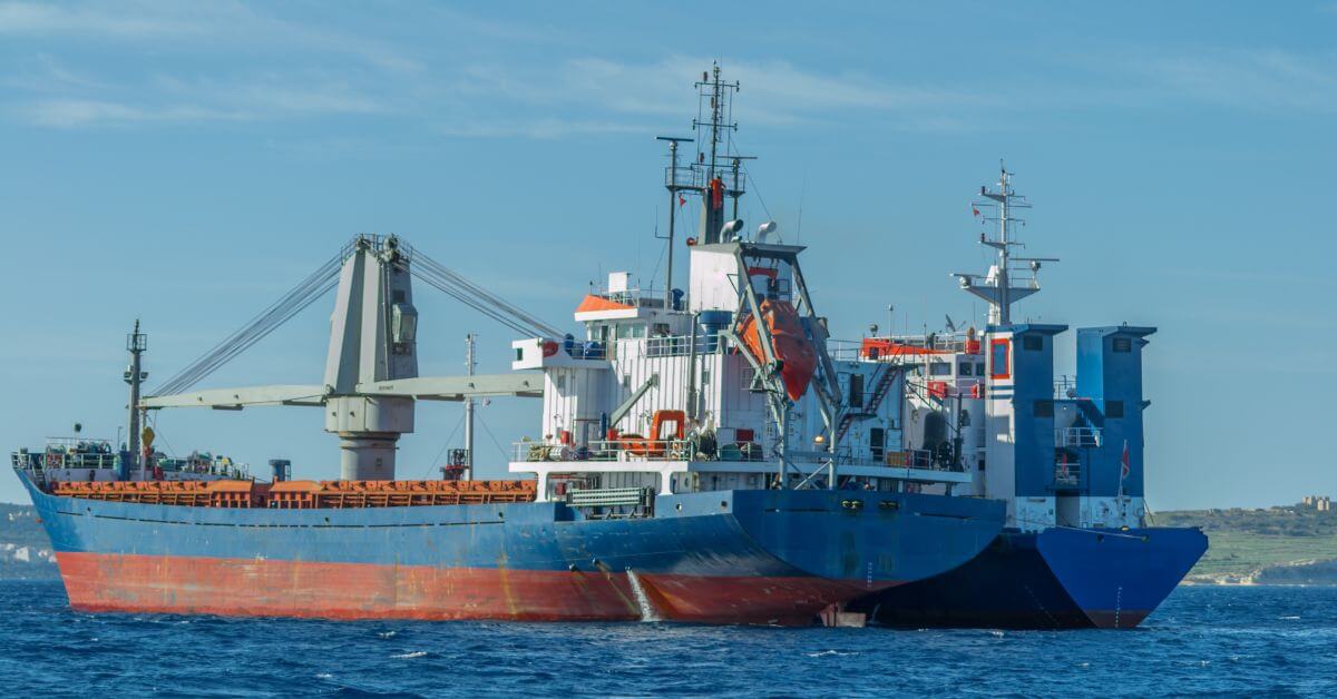
Malaysia has taken a measured but decisive step in its newest marine protected zone, restricting tanker traffic and bunkering while imposing speed limits on all vessels. Large cargo ships and oil tankers are now forbidden from entering the Strait. This is a calibrated move to protect critical marine habitat without shutting down commerce entirely. For those tracking how citizen science can inform ocean policy, our piece on identifying an unidentified marine object from citizen observations in Tarifa offers a parallel example of community-driven data collection.
Ferry-Tanker Collision Near Penang Injures 21; Six Critically Conditioned
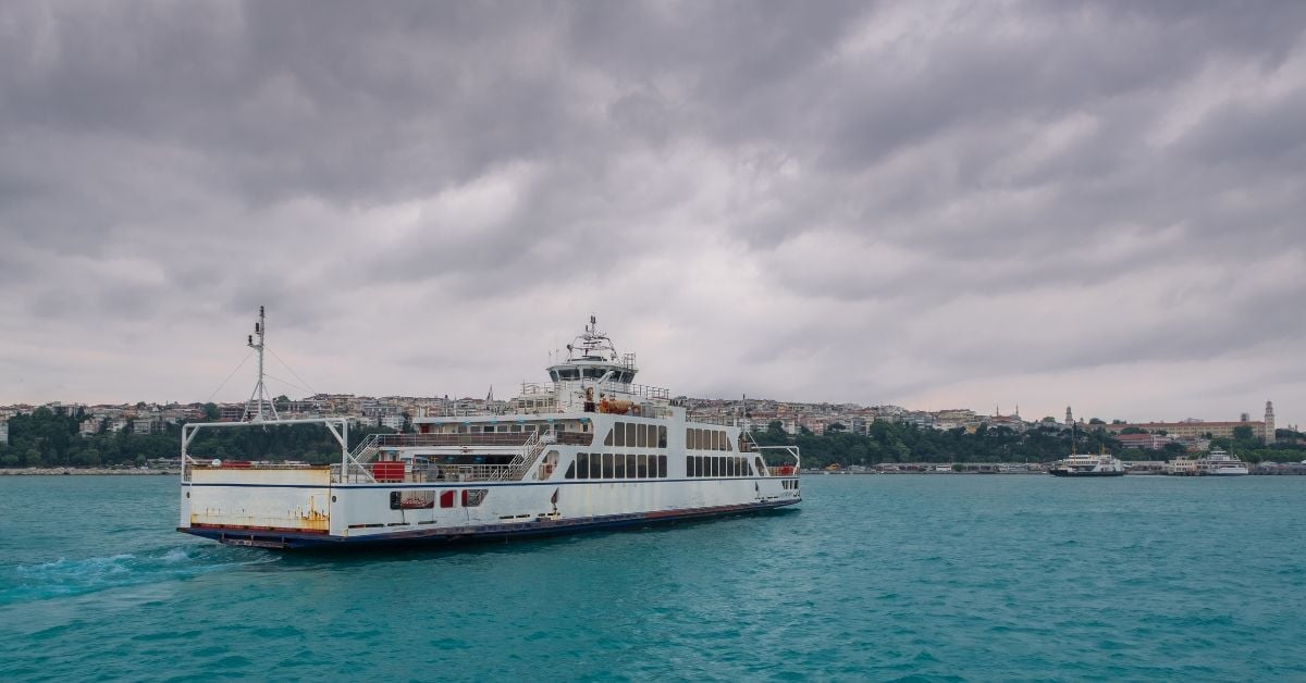
A collision between a ferry and a tanker off Malaysia's Penang Port has left 21 people injured, six of them in critical condition, authorities confirmed. Incidents like this underscore how swiftly maritime operations can turn perilous, even in familiar waters. The priority now is the stability of those severely hurt and a clear-eyed investigation into what went wrong. For context on how real-time ocean intelligence supports emergency response, our earlier piece, "Ocean Data Enables Swift Rescue of Injured Seafarer Near Andamans," offers a relevant parallel.

Securing Vital Sea Lanes: Commitment to Straits of Malacca and Singapore.
The Straits of Malacca and Singapore carry a third of global maritime trade, and their security is not negotiable. Indonesia, Malaysia, and Singapore have now made that priority explicit, committing to keep these vital sea lanes open for all nations. This is a calibrated, practical move that reinforces stability where it matters most. For readers tracking how regional infrastructure evolves, our related piece on integrated subsea cables enhancing Indian Ocean connectivity offers useful context.

Filipino Seafarers Return Home Following Incidents Across Key Shipping Lanes
Twenty-one Filipino seafarers are home, following incidents across key shipping lanes. The group includes three crew members from the M/V Abu Al Abyad, seven from the M/V En Ocean, and 11 from the M/V Europe I. Their return is the measurable outcome we value most: validated human safety amid volatile waters. This is not a headline; it is a conclusion to a tense chapter. For broader context on regional instability, our coverage of strikes targeting ports offers a sobering backdrop.

Long-Term Shoreline Shifts in Selangor Inform Coastal Adaptation Strategies
Shoreline erosion along Selangor's 250-kilometer coast is not a distant threat; it is a measured reality, with hotspots near Port Klang retreating at over 75 meters per year. This study's use of three decades of homogenized Landsat data to build a Geomorphological Stability Index offers precisely the kind of empirical groundwork needed for adaptation planning. That nearly 33% of transects already rank as severely eroding, with projections accelerating toward 2050, underscores the urgency.