digital twin
4 stories filed under digital twin on World Data Ocean. The newest of them: “Predicting maritime ammonia leaks through a validated digital twin system”, “Real-Time Yard Visibility: A Digital Twin for Optimized Terminal Operations”, and “Digital Twin Reveals Vulnerable Atoll, Enabling Ocean Monitoring”. A validated digital twin now targets ammonia leaks at sea. A live view of the yard replaces static, outdated reports. A Global Hub for Ocean Intelligence 4 World Data Ocean is a centralized digital platform where researchers, scientists, and ocean enthusiasts converge to… The list below is every digital twin story on World Data Ocean, newest first.
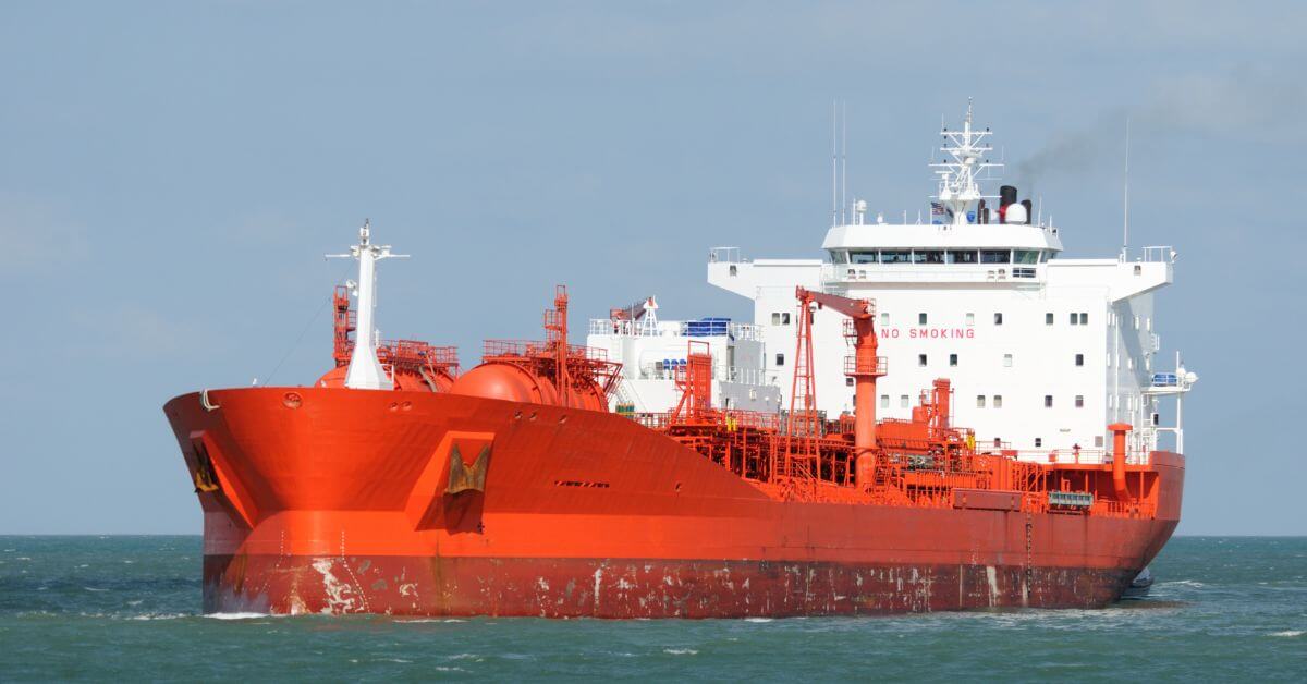
Predicting maritime ammonia leaks through a validated digital twin system
A validated digital twin now targets ammonia leaks at sea. The American Bureau of Shipping, HD Korea Shipbuilding & Offshore Engineering and Siemens are building a system that turns predictive modeling into a measurable safety layer for maritime operations. This is not theoretical. Empirical, real-time validation is what makes a digital twin useful. For related context on how vessels already gather ocean intelligence, see "Cruise fleet expands its role as a calibrated platform for ocean intelligence."
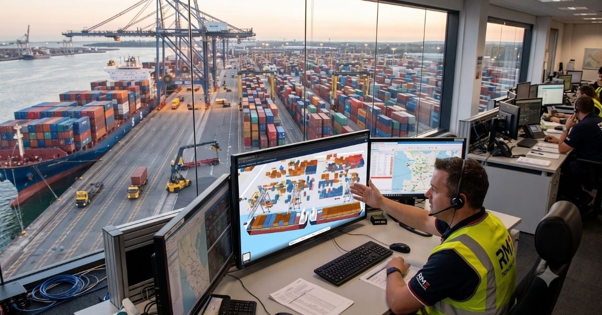
Real-Time Yard Visibility: A Digital Twin for Optimized Terminal Operations
A live view of the yard replaces static, outdated reports. This digital twin offers terminal staff not just a snapshot, but a predictive tool for what comes next. It is a calibrated, real-time system for operational intelligence, not a guess. We see this as a measurable step forward: moving from reactive management to proactive, integrated logistics. Understanding real-time data drives better protection of efficiency and schedule.

Digital Twin Reveals Vulnerable Atoll, Enabling Ocean Monitoring
Remote coral atolls like Oeno remain critically under-observed, not because they lack importance, but because isolation makes traditional surveys nearly impossible. This digital twin changes that. By integrating satellite imagery, drone data, and acoustic bathymetry into a single calibrated framework, the team has produced the first high-resolution representation of the atoll's lagoon, benthic habitats, and terrestrial structure. It is a practical, scalable model for monitoring shoreline evolution and coral bleaching, and a clear demonstration that integrated geospatial data can close observation gaps elsewhere.

China Expands Subsea Capabilities with Advanced Robotic Vessel.
A new advance in subsea engineering is now operational, as China expands its offshore capabilities with a robotic vessel designed for complex underwater tasks. The platform's deployment of underwater robots strengthens precision in subsea engineering and offshore operations, a practical step toward more resilient marine infrastructure. This is measured progress, not spectacle. For broader context on how such technologies intersect with marine science, our related coverage, including "Digital Twin Reveals Vulnerable Atoll, Enabling Ocean Monitoring," offers complementary insight into the systems we rely on.