autonomous underwater vehicle
3 stories filed under autonomous underwater vehicle on World Data Ocean. The newest of them: “Second US underwater drone reported seized in Strait of Hormuz”, “Autonomous Drone Encounter Highlights Growing Maritime Technology in the Hormuz Strait”, and “Optimized Image Filtering Streamlines Underwater Seabed Mapping”. Iran's Islamic Revolutionary Guard Corps Navy claims to have seized a second US military underwater drone in the Strait of Hormuz. The underwater drone detected near the Hormuz Strait is likely Anduril's Dive-D, a calibrated, autonomous system built for defense. A Global Hub for Ocean Intelligence 4 World Data Ocean is a centralized digital platform where researchers, scientists, and ocean enthusiasts converge to… The list below is every autonomous underwater vehicle story on World Data Ocean, newest first.
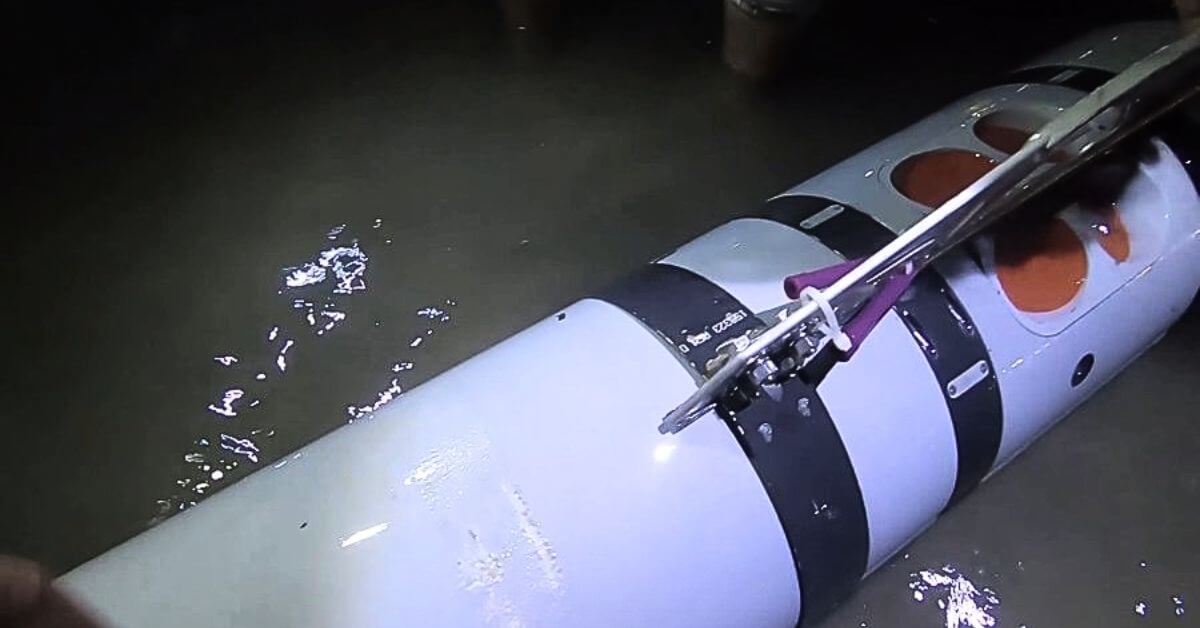
Second US underwater drone reported seized in Strait of Hormuz
Iran's Islamic Revolutionary Guard Corps Navy claims to have seized a second US military underwater drone in the Strait of Hormuz. This is a measurable escalation in a waterway where tensions are already calibrated to the breaking point. Validated reporting on these incidents is essential, not alarmist speculation. For broader context on maritime pressures in this region, readers may explore our related coverage of Gulf of Oman STS transfers. Understanding these events demands empirical clarity, not reaction.
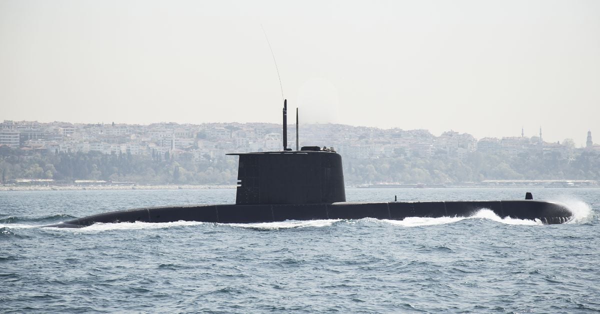
Autonomous Drone Encounter Highlights Growing Maritime Technology in the Hormuz Strait
The underwater drone detected near the Hormuz Strait is likely Anduril's Dive-D, a calibrated, autonomous system built for defense. This sighting underscores a measurable shift: maritime technology is no longer confined to surface vessels. Empirical observation of such platforms matters, because understanding drives protection. For deeper context on regional shipping pressures, see our coverage of "Gulf of Oman STS Transfers Max Out Amid Rising Saudi Oil Exports." The strait's future demands integrated, peer-reviewed intelligence, not alarm.

Optimized Image Filtering Streamlines Underwater Seabed Mapping
Underwater robots capture thousands of overlapping images during seabed surveys, but most of that visual data is redundant. This methodology filters out the noise, decoding and rectifying images before discarding those that add nothing new. The result is a 49.91% reduction in image load and a 30% faster processing time, all while keeping feature persistence above 0.97. That is efficient, measurable, and practical. For those interested in how we scale ocean observation, our piece on integrating citizen science offers a complementary view.