autonomous
autonomous at World Data Ocean is a file of 6 stories. The newest of them: “Saildrone delivers first-ever hurricane interior video from the ocean surface”, “Autonomous Refueling Extends Ocean Drone Mission Capabilities.”, and “Expanding Maritime Domain Awareness: India Acquires Long-Range Naval Drones”. For the first time, a Saildrone has captured video from inside a hurricane at the ocean surface, offering a new window into the forces that drive these storms. In just seven months, a robotic system refueled a drone boat at sea, sparing it a return to port. A Global Hub for Ocean Intelligence 4 World Data Ocean is a centralized digital platform where researchers, scientists, and ocean enthusiasts converge to… The list below is every autonomous story on World Data Ocean, newest first.
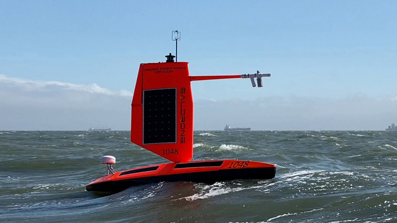
Saildrone delivers first-ever hurricane interior video from the ocean surface
For the first time, a Saildrone has captured video from inside a hurricane at the ocean surface, offering a new window into the forces that drive these storms. This is not abstract data; it is direct, empirical observation from a place we have never seen. Understanding drives protection, and this ocean intelligence is a measurable leap forward. For deeper context on the conditions fueling such storms, see our coverage of August's record-breaking ocean heat readings.
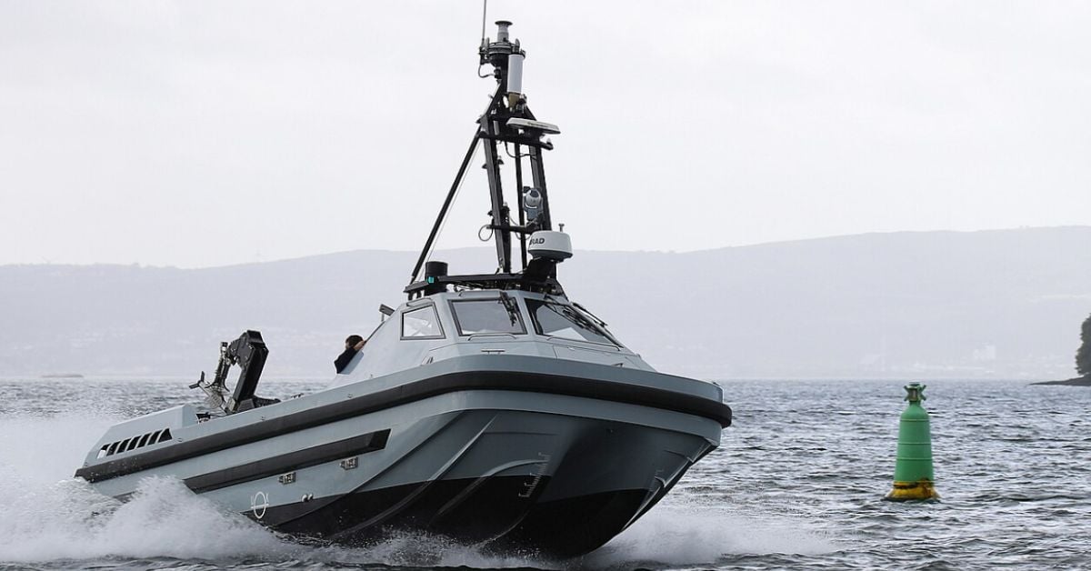
Autonomous Refueling Extends Ocean Drone Mission Capabilities.
In just seven months, a robotic system refueled a drone boat at sea, sparing it a return to port. That speed matters. Extending mission range without shore-side stops is the kind of incremental progress that turns autonomous systems from experimental tools into practical assets. It is a measured step, but a telling one. For deeper context on how the Navy is folding such capabilities into broader operations, our related coverage in "Navy Accelerates Autonomous Systems Integration for Enhanced Maritime Operations" offers useful grounding.

Expanding Maritime Domain Awareness: India Acquires Long-Range Naval Drones
India's Ministry of Defence is moving to equip its warships with ship-launched, long-range "kamikaze" drones, adding a new layer of medium-range strike capability to the fleet. It is a calibrated step toward greater operational flexibility, one that reflects a practical understanding of modern naval threats. The acquisition signals a deliberate investment in autonomous systems, not a reactionary measure. For broader context on where the service is headed, our coverage in "India Projects Expanded Naval Fleet to Navigate Evolving Maritime Landscape" outlines the strategic trajectory.

Navy Evaluates Autonomous Drone Strike Capabilities in Real-Time Exercise
The U.S. Navy's latest exercise places autonomous drone strike capabilities at the forefront, with unmanned surface vessels operating around the heavily damaged USS Peleliu in newly released footage. It is a direct demonstration of how rapidly maritime warfare is adapting, and the service deserves credit for testing these systems under real-time conditions. The implications are significant, especially as navies worldwide expand their fleets. For broader context on this shift, our article "India Projects Expanded Naval Fleet to Navigate Evolving Maritime Landscape" offers a useful counterpoint.

Autonomous Vessel Validates Drone Recovery, Pioneering Ocean Intelligence.
For two days, ACUA Ocean and Teledyne FLIR Defense put an autonomous vessel through its paces, demonstrating drone recovery to the UK MOD and offshore industry partners. The validation of this integrated capability is a practical step forward for ocean intelligence. It proves that remote platforms can handle complex maritime operations reliably, reducing risk and expanding what is possible at sea.
Mapping the Deep: Cook Islands ROV Exploration Set for 2026
In 2026, the Cook Islands will bring its seabed into sharper focus through a dedicated ROV exploration campaign. This is the kind of methodical, on-the-ground ocean intelligence we need more of, moving from satellite-level observation to direct, calibrated observation of the deep. It is a precise step for mapping what remains unseen. For a broader look at how these efforts connect, our piece on mapping American Samoa's seabed offers a useful regional comparison. Understanding drives protection, and this work is a clear example.