altimetry
3 stories filed under altimetry on World Data Ocean. The newest of them: “Sentinel-6B validated as global reference for sea level measurement”, “Two weeks after launch, Sentinel-3C delivers calibrated first views of a changing ocean”, and “Daily Global Eddy Tracks Now Calibrated for Ocean Intelligence”. Sentinel-6B has been formally validated as the global reference for sea level measurement, a designation that carries measurable weight for climate monitoring. Two weeks after launch, Sentinel-3C has already delivered calibrated first views of a changing ocean, from the frozen Arctic to the Caribbean. A Global Hub for Ocean Intelligence 4 World Data Ocean is a centralized digital platform where researchers, scientists, and ocean enthusiasts converge to… The list below is every altimetry story on World Data Ocean, newest first.
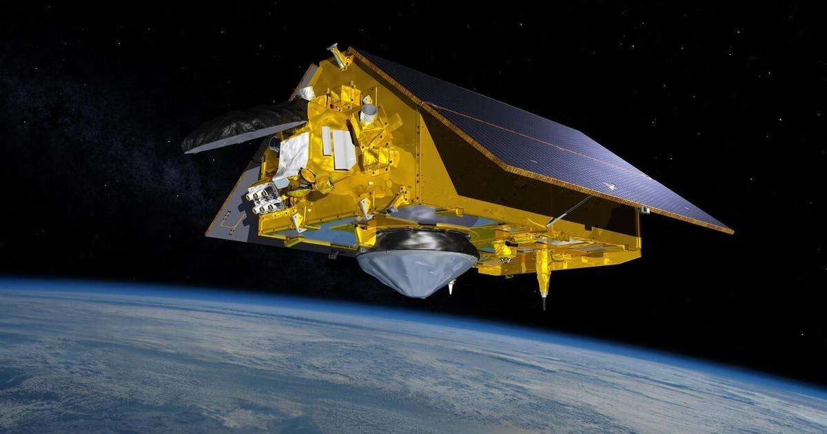
Sentinel-6B validated as global reference for sea level measurement
Sentinel-6B has been formally validated as the global reference for sea level measurement, a designation that carries measurable weight for climate monitoring. This satellite now anchors the international benchmark for ocean height data, providing the empirical consistency that scientists and policymakers rely on. When a single instrument becomes the standard, the entire integrated data ecosystem sharpens its focus.
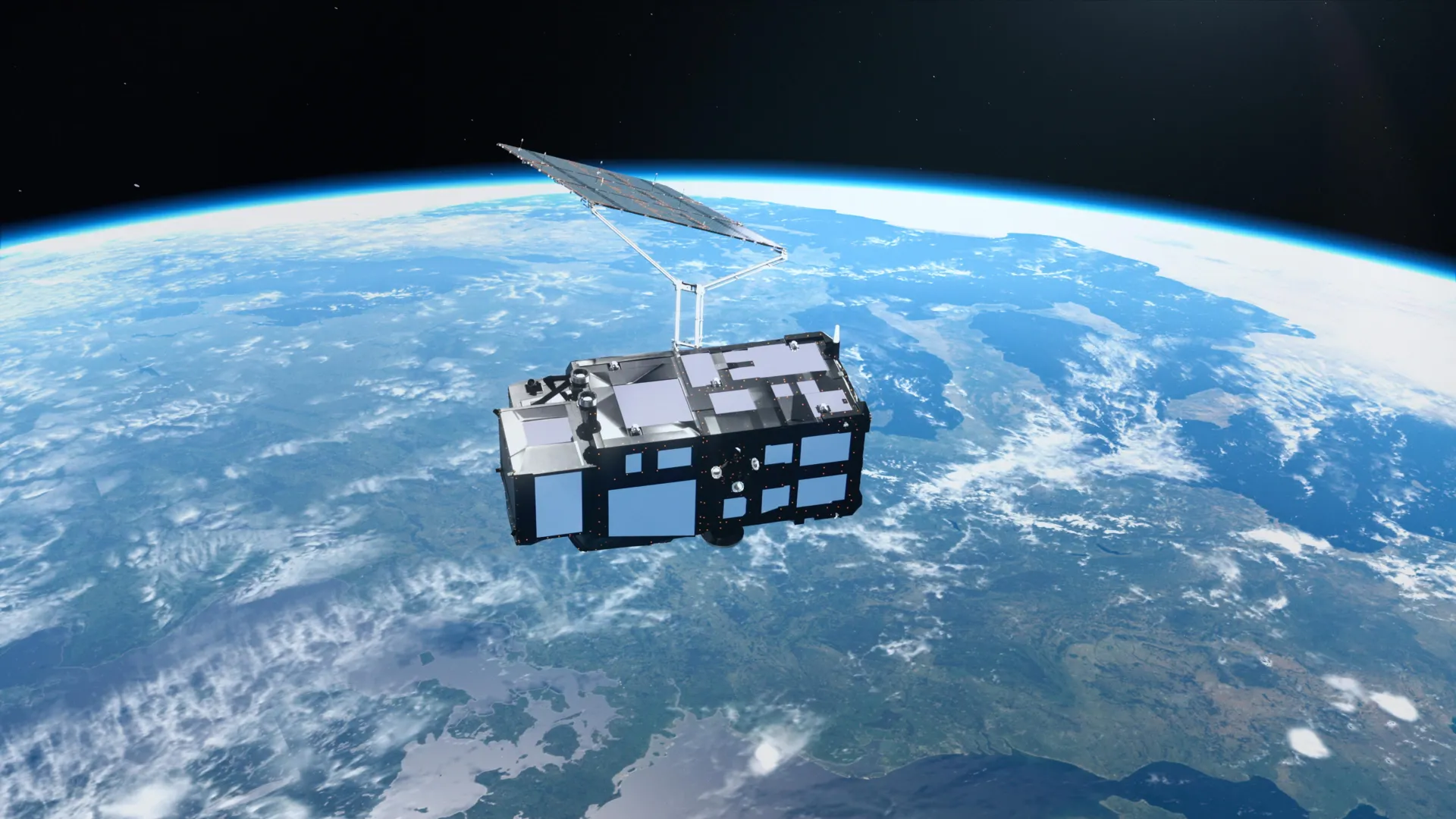
Two weeks after launch, Sentinel-3C delivers calibrated first views of a changing ocean
Two weeks after launch, Sentinel-3C has already delivered calibrated first views of a changing ocean, from the frozen Arctic to the Caribbean. These early measurements validate the satellite's capacity to track rising seas and melting ice with empirical precision. Understanding drives protection, and this instrument is now part of an integrated data ecosystem. For context on how such observations support coordinated maritime action, see our coverage of Europe's COASTEX 2026 trial.
Daily Global Eddy Tracks Now Calibrated for Ocean Intelligence
Daily global mesoscale eddy tracks have now been calibrated for ocean intelligence, offering scientists a validated, real-time view of these powerful rotating currents from satellite altimetry. This dataset transforms how we measure ocean energy transport and climate indicators. Understanding these eddies is essential, and for deeper context on ocean carbon fluxes, the ECCO‑Darwin model delivers first multi‑decadal global ocean CO₂ flux estimates. From orbit to ocean floor, we are building an integrated data ecosystem for a measurable, shared future.