water level
World Data Ocean keeps water level in one place: 3 stories so far. The section currently leads with “Validating tidal patterns in the Seto Inland Sea through integrated coastal data”, “Mercedes-Benz Cargo Vessel Grounded in Düsseldorf Harbour Disrupts Rotterdam Route”, and “Vistula Lagoon Ice Shove Morphology and Impact Characterized in New Study”. Tidal validation in the Seto Inland Sea now draws on integrated coastal data from the Japan Coast Guard and Japan Oceanographic Data Center, a method that turns fragmented measurements into a coherent picture. A Global Hub for Ocean Intelligence 4 World Data Ocean is a centralized digital platform where researchers, scientists, and ocean enthusiasts converge to… The list below is every water level story on World Data Ocean, newest first.
Validating tidal patterns in the Seto Inland Sea through integrated coastal data
Tidal validation in the Seto Inland Sea now draws on integrated coastal data from the Japan Coast Guard and Japan Oceanographic Data Center, a method that turns fragmented measurements into a coherent picture. This empirical, peer-reviewed approach strengthens our understanding of regional ocean dynamics. It underscores a truth we see across our coverage: robust, integrated data ecosystems are the foundation of meaningful ocean intelligence. For deeper context, see our related piece on measuring ocean health through an integrated data ecosystem.
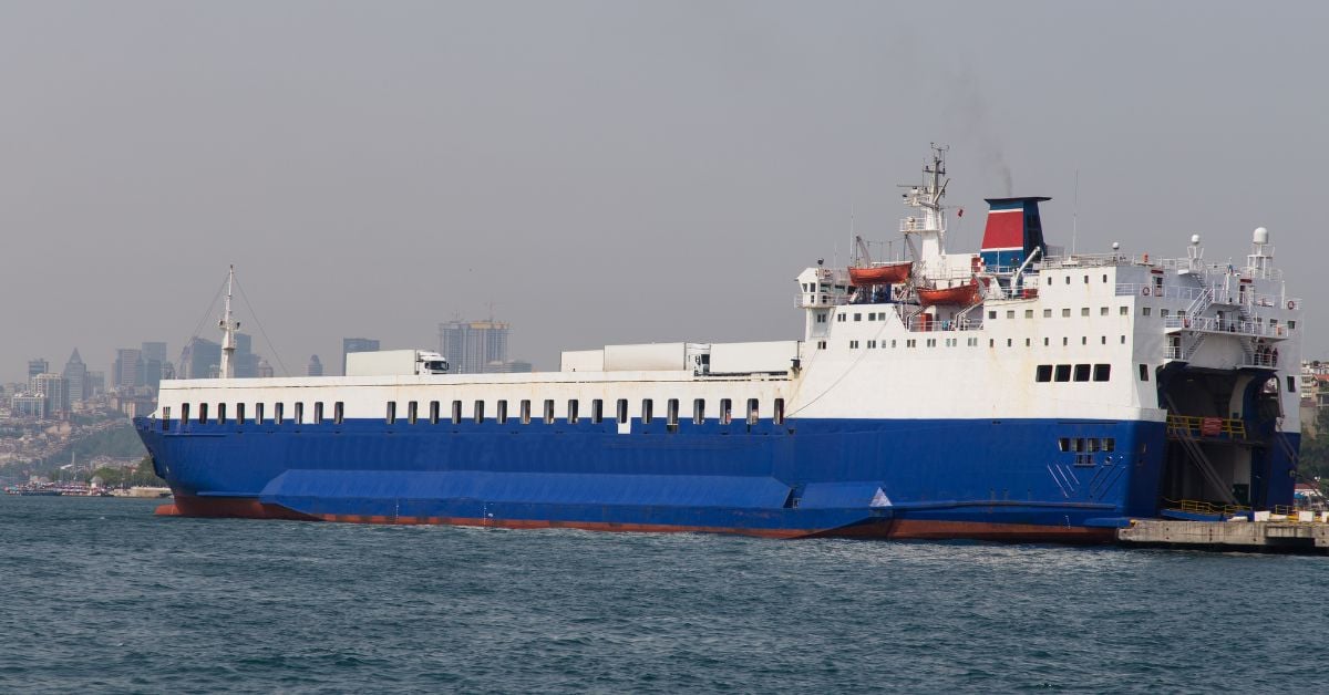
Mercedes-Benz Cargo Vessel Grounded in Düsseldorf Harbour Disrupts Rotterdam Route
A cargo vessel carrying Mercedes-Benz vans has grounded in Düsseldorf harbour, disrupting a key route to Rotterdam. Such incidents, while localized, ripple through supply chains that depend on precise maritime logistics. This is not a crisis, but a measurable disruption, one that underscores the fragility of integrated transport networks. For broader context on maritime vulnerabilities, our coverage of the "Fatal Attack on Cargo Ship Highlights Black Sea Shipping Risks" examines parallel threats to global shipping security. Understanding these patterns drives better preparedness.

Vistula Lagoon Ice Shove Morphology and Impact Characterized in New Study
In January 2024, an ice shove on the southern coast of the Vistula Lagoon demonstrated how vulnerable low-lying shores can be to winter extremes. Field surveys taken during the event and again in spring revealed ice pile-ups reaching 4-7 meters high, with inland penetration averaging up to 55 meters. The study shows that shoreline elevation and water levels dictated the damage, which included erosion and infrastructure harm. It is a practical reminder that coastal resilience requires understanding these dynamic, measurable forces.