subsea
subsea at World Data Ocean is a file of 8 stories. The newest of them: “Calibrated at sea: wind-powered data center validates subsea operations”, “Bio-Inspired Valve Harvests Energy for Pipeline Monitoring.”, and “Wind-Powered Data Hub Monitors Ocean Health in Real-Time, China.”. A wind-powered data center, calibrated at sea, is now validating subsea operations from the ocean floor. A fish spine wing bionic impeller is redefining energy harvesting for subsea pipeline monitoring. A Global Hub for Ocean Intelligence 4 World Data Ocean is a centralized digital platform where researchers, scientists, and ocean enthusiasts converge to… The list below is every subsea story on World Data Ocean, newest first.
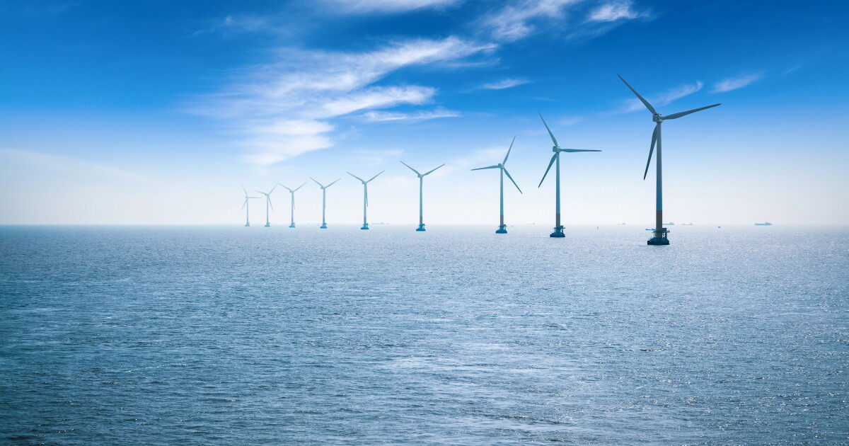
Calibrated at sea: wind-powered data center validates subsea operations
A wind-powered data center, calibrated at sea, is now validating subsea operations from the ocean floor. This is not a prototype; it is an operational, integrated data ecosystem delivering real-time, measurable results. The achievement underscores a fundamental truth: understanding drives protection. For deeper context on how shifting marine conditions challenge our assumptions, see our coverage of the shallow-water coral sighting near Naxos. From orbit to ocean floor, empirical observation remains our most calibrated instrument.

Bio-Inspired Valve Harvests Energy for Pipeline Monitoring.
A fish spine wing bionic impeller is redefining energy harvesting for subsea pipeline monitoring. This ball valve converts excess fluid pressure into 130 watts of shaft power, a 36.8% improvement over conventional designs. The blade profile, modeled on fish dorsal ridges, reduces turbulent loss while boosting flow stability across a 13% to 100% valve opening. It is a practical answer to remote, high-pressure marine environments.

Wind-Powered Data Hub Monitors Ocean Health in Real-Time, China.
In the South China Sea, the world's first wind-powered underwater data centre is now operational, marking a calibrated step toward integrating renewable energy with ocean intelligence. This is not a distant concept; it is a live, peer-reviewed example of how real-time climate indicators can be measured from the seabed. The innovation is purposeful, and its implications for global data ecosystems are significant.
Mapping American Samoa's Depths: An Exploration of Ocean Intelligence.
Beneath the waves of American Samoa lies a terrain as uncharted as it is vital, and this latest expedition turns raw data into actionable insight. We're encouraged by how this work transforms seabed mapping into a tool for stewardship, not just discovery. It's precise, purposeful, and exactly the kind of empirical effort our shared ocean future demands.
Mapping American Samoa’s Depths: An Exploration with Advanced Underwater Technology
American Samoa's waters hold more than meets the eye, and this expedition proves it. Mapping these depths with advanced underwater technology reveals a seabed shaped by volcanic force and time, a place where bathymetry becomes biography. We find this work compelling because it turns raw data into actionable ocean intelligence, grounding conservation in measurable truth. For those seeking the broader picture, our related article, "Mapping American Samoa's Seabed: An ROV Exploration in 2026," expands on the tools behind this effort.

Exploring the Cook Islands Depths: A 2026 ROV Expedition.
In 2026, a new ROV expedition will descend into the waters surrounding the Cook Islands, aiming to transform our understanding of a region whose depths remain largely unmeasured. This is not a hunt for spectacle; it is a methodical effort to gather empirical data where none currently exists. The mission's value will be defined by its calibrated instruments and the peer-reviewed findings they produce.
Mapping the Deep: Cook Islands ROV Exploration Set for 2026
In 2026, the Cook Islands will bring its seabed into sharper focus through a dedicated ROV exploration campaign. This is the kind of methodical, on-the-ground ocean intelligence we need more of, moving from satellite-level observation to direct, calibrated observation of the deep. It is a precise step for mapping what remains unseen. For a broader look at how these efforts connect, our piece on mapping American Samoa's seabed offers a useful regional comparison. Understanding drives protection, and this work is a clear example.
Exploring the Cook Islands Depths: A 2026 ROV Mission.
In early 2026, an ROV mission will descend into the waters surrounding the Cook Islands, where the seafloor remains largely uncharted. This is the kind of methodical, empirical work that turns raw data into ocean intelligence. By capturing validated, real-time imagery from the depths, the mission strengthens the integrated data ecosystem that researchers and policymakers rely on. For those tracking how these efforts connect, our piece on NOAA's calibrated ocean intelligence offers useful context. Understanding drives protection, and this expedition brings us closer to both.