Sentinel-2
Sentinel-2 at World Data Ocean is a file of 3 stories. The newest of them: “Strait of Hormuz Stability Challenged by Confirmed Strike on Oman's Didamar Island”, “From orbit to shore: sharpening coastal views through harmonized sensors”, and “Satellite and field data merge to track harmful blooms in El-Mex Bay”. A confirmed strike on Oman's Didamar Island at the mouth of the Persian Gulf challenges the stability of the Strait of Hormuz. High-resolution satellite imagery sharpens our view of the coast, but its cost and hardware limits create blind spots. A Global Hub for Ocean Intelligence 4 World Data Ocean is a centralized digital platform where researchers, scientists, and ocean enthusiasts converge to… The list below is every Sentinel-2 story on World Data Ocean, newest first.
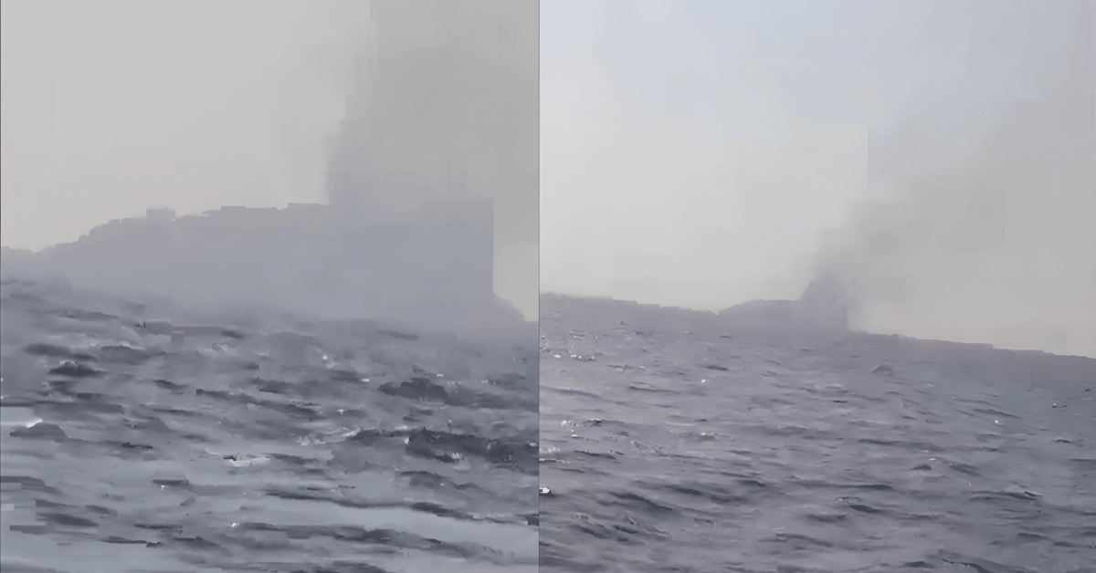
Strait of Hormuz Stability Challenged by Confirmed Strike on Oman's Didamar Island
A confirmed strike on Oman's Didamar Island at the mouth of the Persian Gulf challenges the stability of the Strait of Hormuz. Iran claims responsibility; Oman reports a loud explosion at the base. This is not an isolated incident. For deeper context on regional oil security, see our related coverage, "Iraq and US Align on Gulf Oil Route Near Omani Waters." Measured observation remains essential as these pressures mount.

From orbit to shore: sharpening coastal views through harmonized sensors
High-resolution satellite imagery sharpens our view of the coast, but its cost and hardware limits create blind spots. HARBOR, a harmonization-based workflow, solves this by fusing low-resolution Sentinel-2 data with PlanetScope imagery, boosting clarity from 10 m to 5 m. Radiometric harmonization proved the strongest single contributor to quality, while synthetic data generation made supervised training viable despite scarce same-day pairs. This transferable pipeline turns existing archives into actionable ocean intelligence.
Satellite and field data merge to track harmful blooms in El-Mex Bay
In August, Sentinel-2 pixels in El-Mex Bay lit up with red tide signals, marking the season's most intense bloom. The study's strength lies in pairing RTI and NDCI spectral indices with field data to confirm what drove the summer succession: warm water and nutrient pulses favored *Prorocentrum cordatum* and *Heterosigma akashiwo*. That integrated approach turns satellite imagery into a practical early-warning tool. For readers tracking broader monitoring efforts, our related piece on citizen science offers a complementary view of closing coastal observation gaps.