seabed mapping
3 stories filed under seabed mapping on World Data Ocean. The newest of them: “Edge intelligence and multi-AUV networks advance autonomous hydrographic surveying”, “Iranian Forces Recover Advanced U.S. Unmanned Submarine in Hormuz.”, and “Optimized Image Filtering Streamlines Underwater Seabed Mapping”. Edge intelligence and multi-AUV networks are turning autonomous hydrographic surveying into a truly collaborative, real-time endeavor. Iranian forces have recovered an advanced U.S. A Global Hub for Ocean Intelligence 4 World Data Ocean is a centralized digital platform where researchers, scientists, and ocean enthusiasts converge to… The list below is every seabed mapping story on World Data Ocean, newest first.

Edge intelligence and multi-AUV networks advance autonomous hydrographic surveying
Edge intelligence and multi-AUV networks are turning autonomous hydrographic surveying into a truly collaborative, real-time endeavor. By weaving Internet of Underwater Things technologies with multi-sensor fusion, these systems now process data at the edge, enabling adaptive mission planning and sharper seabed mapping. The challenges, limited connectivity, energy constraints, are substantial, but the trajectory is clear. For a broader view of how real-time data flows across the entire ocean observation chain, see our related coverage, "From satellite to sensor: real-time ocean intelligence across the data ecosystem."
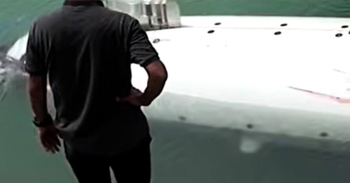
Iranian Forces Recover Advanced U.S. Unmanned Submarine in Hormuz.
Iranian forces have recovered an advanced U.S. unmanned submarine in the Strait of Hormuz, claiming the drone was added to the American fleet in 2025. The IRGC released video footage it says shows the craft. This incident unfolds against a backdrop of heightened maritime tension. For broader context on regional shipping pressures, our coverage of "Phased Negotiations Aim to Ease Restrictions on Strait of Hormuz" examines diplomatic efforts to restore navigation through this critical chokepoint.
Optimized Image Filtering Streamlines Underwater Seabed Mapping
Underwater robots capture thousands of overlapping images during seabed surveys, but most of that visual data is redundant. This methodology filters out the noise, decoding and rectifying images before discarding those that add nothing new. The result is a 49.91% reduction in image load and a 30% faster processing time, all while keeping feature persistence above 0.97. That is efficient, measurable, and practical. For those interested in how we scale ocean observation, our piece on integrating citizen science offers a complementary view.